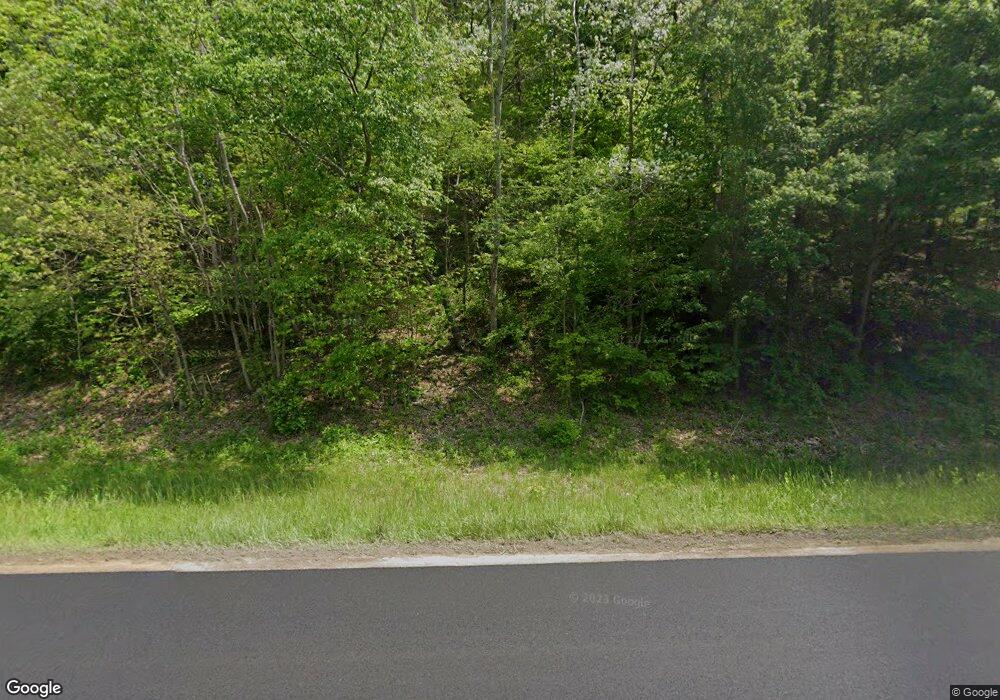
28921 Coshocton Rd Walhonding, OH 43843
Estimated Value: $270,000 - $701,656
3
Beds
2
Baths
1,900
Sq Ft
$254/Sq Ft
Est. Value
About This Home
This home is located at 28921 Coshocton Rd, Walhonding, OH 43843 and is currently estimated at $483,219, approximately $254 per square foot. 28921 Coshocton Rd is a home located in Knox County with nearby schools including East Knox Elementary School, East Knox High School, and Mohawk School.
Ownership History
Date
Name
Owned For
Owner Type
Purchase Details
Closed on
Jun 6, 2003
Sold by
Clayton Elmer C and Clayton Pauline
Bought by
Clark Albert B and Clark Marcia L
Current Estimated Value
Purchase Details
Closed on
Feb 6, 1998
Sold by
Walker Anna
Bought by
Clayton Elmer C and Clayton Pauline
Create a Home Valuation Report for This Property
The Home Valuation Report is an in-depth analysis detailing your home's value as well as a comparison with similar homes in the area
Home Values in the Area
Average Home Value in this Area
Purchase History
| Date | Buyer | Sale Price | Title Company |
|---|---|---|---|
| Clark Albert B | $188,000 | -- | |
| Clayton Elmer C | $24,700 | -- |
Source: Public Records
Tax History Compared to Growth
Tax History
| Year | Tax Paid | Tax Assessment Tax Assessment Total Assessment is a certain percentage of the fair market value that is determined by local assessors to be the total taxable value of land and additions on the property. | Land | Improvement |
|---|---|---|---|---|
| 2024 | $6,558 | $165,150 | $49,330 | $115,820 |
| 2023 | $6,558 | $165,150 | $49,330 | $115,820 |
| 2022 | $5,391 | $117,120 | $34,980 | $82,140 |
| 2021 | $5,391 | $117,120 | $34,980 | $82,140 |
| 2020 | $5,132 | $117,120 | $34,980 | $82,140 |
| 2019 | $5,516 | $115,930 | $31,320 | $84,610 |
| 2018 | $5,158 | $115,930 | $31,320 | $84,610 |
| 2017 | $5,112 | $115,930 | $31,320 | $84,610 |
| 2016 | $4,507 | $100,810 | $27,240 | $73,570 |
| 2015 | $4,142 | $102,010 | $28,440 | $73,570 |
| 2014 | $4,149 | $102,010 | $28,440 | $73,570 |
| 2013 | $3,825 | $89,080 | $25,440 | $63,640 |
Source: Public Records
Map
Nearby Homes
- 29870 Staats Rd
- 0 Staats Rd
- 0 Austin Rd
- 11310 Riley Chapel Rd
- 26301 Cavallo Rd
- 13356 Mowery Rd
- 33436 Township Road 518
- 31251 State Route 541
- 0 Hoover Rd
- 0 Township Road 111 Unit 5077259
- 29575 Hoover Rd
- 32015 Township Road 368
- 13904 Carey Ln
- 24477 Township Road 444
- 0 Township Road 444
- 32603 State Route 541
- 23080 Stull Rd
- 15791 Hunter Rd
- 0 Mckee Rd Unit 5148073
- 0 Mckee Rd Unit 20250523
- 29071 Coshocton Rd
- 29025 Coshocton Rd
- 28841 Coshocton Rd
- 29311 Rabbit Ridge Rd
- 28839 Coshocton Rd
- 29285 Rabbit Ridge Rd
- 29241 Rabbit Ridge Rd
- 29401 Rabbit Ridge Rd
- 29029 Coshocton Rd
- 29451 Rabbit Ridge Rd
- 28810 Coshocton Rd
- 28827 Brush Run Rd
- 28983 Brush Run Rd
- 29011 Brush Run Rd
- 29505 Rabbit Ridge Rd
- 28661 Brush Run Rd
- 28760 Brush Run Rd
- 9820 Busenburg Rd
- 28491 Brush Run Rd
- 29123 Brush Run Rd
