Estimated Value: $460,858 - $468,000
4
Beds
3
Baths
2,300
Sq Ft
$202/Sq Ft
Est. Value
About This Home
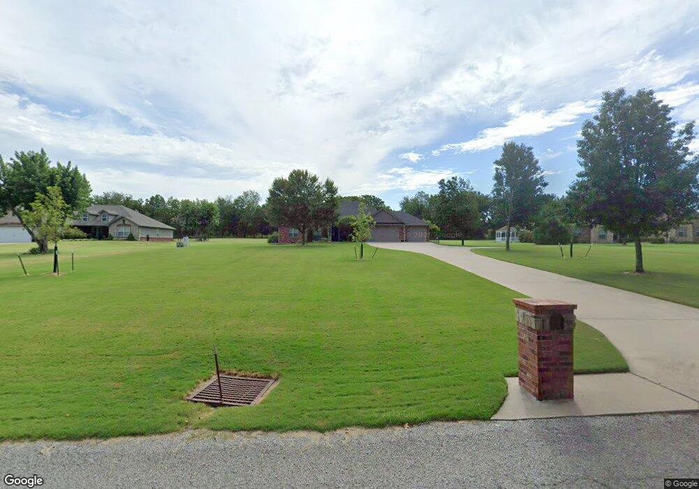
This home is located at 28950 S 594 Ln, Grove, OK 74344 and is currently estimated at $464,215, approximately $201 per square foot. 28950 S 594 Ln is a home located in Delaware County with nearby schools including Grove Lower Elementary School, Grove Upper Elementary School, and Grove Middle School.
Ownership History
Date
Name
Owned For
Owner Type
Purchase Details
Closed on
Feb 10, 2010
Sold by
Barnhart Philliip and Barnhart Catherine
Bought by
Good Jon E and Good Angela D
Current Estimated Value
Purchase Details
Closed on
Aug 4, 2009
Sold by
Kerr Kelly and Kerr Donna
Bought by
Barnhart Phillip and Barnhart Catherine
Home Financials for this Owner
Home Financials are based on the most recent Mortgage that was taken out on this home.
Original Mortgage
$169,868
Interest Rate
5.44%
Mortgage Type
Construction
Purchase Details
Closed on
Jan 16, 2008
Sold by
Beal Chris and Beal Connie S
Bought by
Kerr Kelly
Create a Home Valuation Report for This Property
The Home Valuation Report is an in-depth analysis detailing your home's value as well as a comparison with similar homes in the area
Home Values in the Area
Average Home Value in this Area
Purchase History
| Date | Buyer | Sale Price | Title Company |
|---|---|---|---|
| Good Jon E | $206,000 | -- | |
| Barnhart Phillip | $15,000 | -- | |
| Kerr Kelly | $15,000 | -- |
Source: Public Records
Mortgage History
| Date | Status | Borrower | Loan Amount |
|---|---|---|---|
| Closed | Barnhart Phillip | $169,868 |
Source: Public Records
Tax History Compared to Growth
Tax History
| Year | Tax Paid | Tax Assessment Tax Assessment Total Assessment is a certain percentage of the fair market value that is determined by local assessors to be the total taxable value of land and additions on the property. | Land | Improvement |
|---|---|---|---|---|
| 2025 | $1,873 | $24,851 | $2,105 | $22,746 |
| 2024 | $1,873 | $24,127 | $2,044 | $22,083 |
| 2023 | $1,873 | $23,425 | $2,018 | $21,407 |
| 2022 | $1,816 | $22,743 | $2,013 | $20,730 |
| 2021 | $1,811 | $22,743 | $2,013 | $20,730 |
| 2020 | $1,842 | $22,743 | $2,013 | $20,730 |
| 2019 | $1,849 | $22,743 | $2,013 | $20,730 |
| 2018 | $1,845 | $22,743 | $2,013 | $20,730 |
| 2017 | $1,851 | $22,743 | $2,013 | $20,730 |
| 2016 | $1,850 | $22,743 | $2,013 | $20,730 |
| 2015 | $1,877 | $22,743 | $1,898 | $20,845 |
| 2014 | $1,886 | $22,743 | $1,898 | $20,845 |
Source: Public Records
Map
Nearby Homes
- 59399 E 288 Ct
- 59386 E 288 Ct
- Lot 1 & 2 E 288 Ct
- 4949 Lost Cove Rd
- 4943 Lighthouse Springs Dr
- 4926 Lost Cove Rd
- 402 Fairway Cir
- 5020 Lake Breeze Rd
- 507 Mulberry
- 5041 Lake Breeze Rd
- 816 Chatsworth Dr
- 822 Chatsworth Dr
- 1515 St Joseph Dr
- 827 Chatsworth Dr
- 622 Alpine Dr
- 6026 Lake Breeze Rd
- 29901 S 595 Rd
- TBD S 592 Place
- 5070 Lake Breeze Rd
- 511 Summit Dr