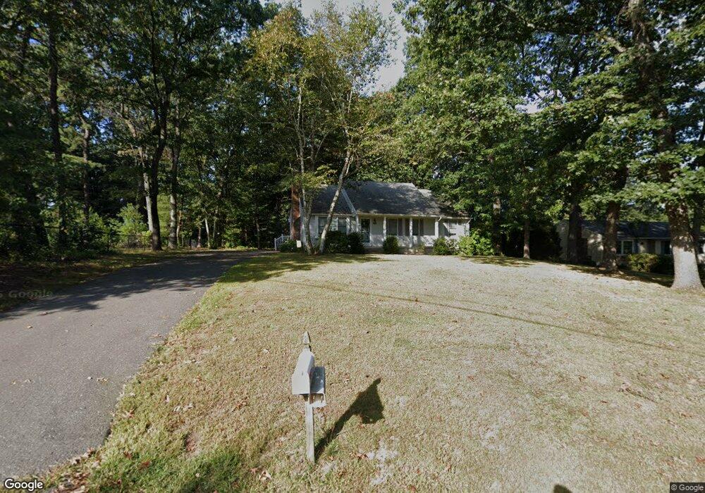
29 1/2 Dale St South Hadley, MA 01075
Estimated Value: $344,000 - $374,570
2
Beds
2
Baths
1,196
Sq Ft
$301/Sq Ft
Est. Value
About This Home
This home is located at 29 1/2 Dale St, South Hadley, MA 01075 and is currently estimated at $359,893, approximately $300 per square foot. 29 1/2 Dale St is a home located in Hampshire County with nearby schools including Plains Elementary School, Mosier Elementary School, and Michael E. Smith Middle School.
Ownership History
Date
Name
Owned For
Owner Type
Purchase Details
Closed on
Jun 24, 2024
Sold by
Sternala Edward S and Sternala Teresa L
Bought by
Sternala Irt and Mccoy
Current Estimated Value
Purchase Details
Closed on
May 14, 2012
Sold by
Sternala Edward S
Bought by
Sternala Edward S and Sternala Teresa L
Purchase Details
Closed on
Aug 1, 1984
Bought by
Sternala Edward S and Sternala Teresa L
Create a Home Valuation Report for This Property
The Home Valuation Report is an in-depth analysis detailing your home's value as well as a comparison with similar homes in the area
Home Values in the Area
Average Home Value in this Area
Purchase History
| Date | Buyer | Sale Price | Title Company |
|---|---|---|---|
| Sternala Irt | -- | None Available | |
| Sternala Irt | -- | None Available | |
| Sternala Irt | -- | None Available | |
| Sternala Edward S | -- | -- | |
| Sternala Edward S | $78,000 | -- | |
| Sternala Edward S | -- | -- |
Source: Public Records
Tax History Compared to Growth
Tax History
| Year | Tax Paid | Tax Assessment Tax Assessment Total Assessment is a certain percentage of the fair market value that is determined by local assessors to be the total taxable value of land and additions on the property. | Land | Improvement |
|---|---|---|---|---|
| 2025 | $4,883 | $306,500 | $119,400 | $187,100 |
| 2024 | $4,872 | $292,600 | $111,700 | $180,900 |
| 2023 | $4,544 | $258,900 | $101,300 | $157,600 |
| 2022 | $4,369 | $236,400 | $101,300 | $135,100 |
| 2021 | $4,303 | $221,100 | $94,700 | $126,400 |
| 2020 | $4,269 | $214,100 | $94,700 | $119,400 |
| 2019 | $4,046 | $200,800 | $90,200 | $110,600 |
| 2018 | $3,898 | $195,600 | $87,900 | $107,700 |
| 2017 | $3,777 | $187,700 | $87,900 | $99,800 |
| 2016 | $3,732 | $188,000 | $87,900 | $100,100 |
| 2015 | $3,543 | $182,800 | $85,500 | $97,300 |
Source: Public Records
Map
Nearby Homes
- 34 Hildreth Ave
- 25 Noel St
- 19 Hildreth Ave
- 63 Washington Ave
- 30 Yale St
- 0 Granby Rd
- 540 Granby Rd Unit 62
- 540 Granby Rd Unit 72A
- 540 Granby Rd Unit 109
- 318 Newton St
- 85 Fairview St
- 30 Pine Grove Dr
- 70 Pine Grove Dr Unit 70
- 586 Granby Rd
- 15 Karen Dr
- 45 Pine St
- 200 East St
- 133 Granby Rd
- 15 Stanton Ave
- 73 Pine Grove Dr