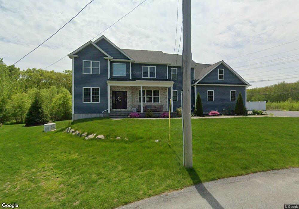
29 Arbor Dr Cranston, RI 02921
Western Cranston NeighborhoodEstimated Value: $881,000 - $1,159,000
4
Beds
3
Baths
3,353
Sq Ft
$304/Sq Ft
Est. Value
About This Home
This home is located at 29 Arbor Dr, Cranston, RI 02921 and is currently estimated at $1,020,425, approximately $304 per square foot. 29 Arbor Dr is a home with nearby schools including Orchard Farms El. School, Hope Highlands Middle School, and Cranston High School West.
Ownership History
Date
Name
Owned For
Owner Type
Purchase Details
Closed on
Nov 14, 2019
Sold by
Alpha Real Estate Lending
Bought by
Fagundes Glenn and Fagundes Lauren
Current Estimated Value
Purchase Details
Closed on
May 29, 2019
Sold by
Konuch Daniel
Bought by
Alpha Real Estate Lending
Purchase Details
Closed on
Jun 5, 2013
Sold by
Sfh Inc
Bought by
Briggs Joseph J and Briggs Renee A
Purchase Details
Closed on
Jun 22, 1989
Sold by
Lynch Charles F
Bought by
Costa Michael S
Home Financials for this Owner
Home Financials are based on the most recent Mortgage that was taken out on this home.
Original Mortgage
$103,540
Interest Rate
10.84%
Mortgage Type
Purchase Money Mortgage
Create a Home Valuation Report for This Property
The Home Valuation Report is an in-depth analysis detailing your home's value as well as a comparison with similar homes in the area
Home Values in the Area
Average Home Value in this Area
Purchase History
| Date | Buyer | Sale Price | Title Company |
|---|---|---|---|
| Fagundes Glenn | $115,000 | -- | |
| Alpha Real Estate Lending | $110,000 | -- | |
| Briggs Joseph J | -- | -- | |
| Sfh Inc | -- | -- | |
| Costa Michael S | $105,000 | -- |
Source: Public Records
Mortgage History
| Date | Status | Borrower | Loan Amount |
|---|---|---|---|
| Previous Owner | Costa Michael S | $103,540 |
Source: Public Records
Tax History
| Year | Tax Paid | Tax Assessment Tax Assessment Total Assessment is a certain percentage of the fair market value that is determined by local assessors to be the total taxable value of land and additions on the property. | Land | Improvement |
|---|---|---|---|---|
| 2025 | $10,854 | $782,000 | $170,800 | $611,200 |
| 2024 | $10,643 | $782,000 | $170,800 | $611,200 |
| 2023 | $10,930 | $578,300 | $117,700 | $460,600 |
| 2022 | $10,704 | $578,300 | $117,700 | $460,600 |
| 2021 | $10,244 | $569,100 | $117,700 | $451,400 |
| 2020 | $2,708 | $130,400 | $130,400 | $0 |
| 2019 | $2,708 | $130,400 | $130,400 | $0 |
| 2018 | $2,646 | $130,400 | $130,400 | $0 |
| 2017 | $2,257 | $98,400 | $98,400 | $0 |
| 2016 | $2,209 | $98,400 | $98,400 | $0 |
| 2015 | $2,209 | $98,400 | $98,400 | $0 |
| 2014 | $2,400 | $105,100 | $105,100 | $0 |
Source: Public Records
Map
Nearby Homes
- 121 Ashbrook Dr
- 02 Paula Ln
- 01 Paula Ln
- 12 Beechwood Dr
- 1495 Pippin Orchard Rd
- 154 Beechwood Dr
- 102 Moccasin Trail
- 0 Anthony Dr Unit 1394338
- 244 Beechwood Dr
- 141 Fox Ridge Dr
- 311 Hope Rd
- 2202 Scituate Ave
- 5 Elizabeth Ln
- 20 Doreen Ct
- 7 Taylor Rd
- 2073 Plainfield Pike
- 22 Derby Ln
- 65 Janet Dr
- 25 Janet Dr
- 105 Amy Dr
Your Personal Tour Guide
Ask me questions while you tour the home.