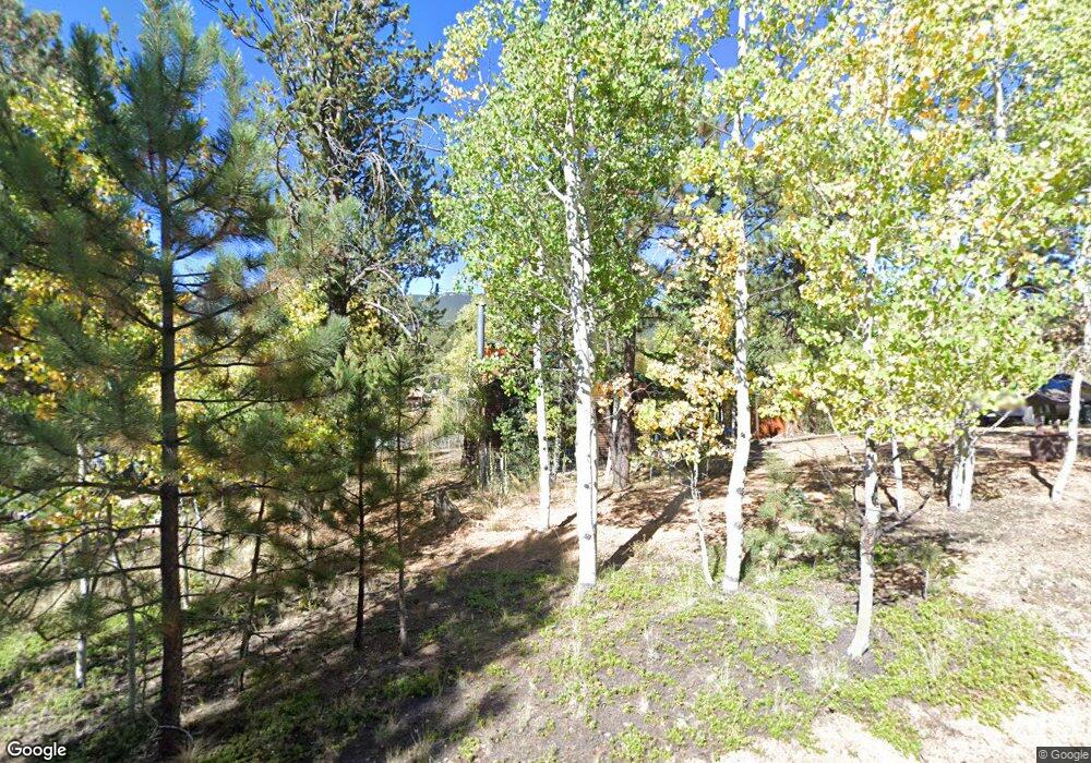
29 Bartimous Rd Bailey, CO 80421
Estimated Value: $317,259 - $371,000
2
Beds
1
Bath
1,104
Sq Ft
$312/Sq Ft
Est. Value
About This Home
This home is located at 29 Bartimous Rd, Bailey, CO 80421 and is currently estimated at $344,565, approximately $312 per square foot. 29 Bartimous Rd is a home with nearby schools including Deer Creek Elementary School, Fitzsimmons Middle School, and Platte Canyon High School.
Ownership History
Date
Name
Owned For
Owner Type
Purchase Details
Closed on
Feb 22, 2011
Sold by
The Browning Joint Living Trust
Bought by
The Browning Joint Living Trust
Current Estimated Value
Purchase Details
Closed on
Mar 8, 2010
Sold by
Browning Robert G and Browning Christine F
Bought by
The Browning Joint Living Trust
Purchase Details
Closed on
Jun 14, 2007
Sold by
Browning Robert G and Browning Chaisting F
Bought by
Browning Robert G and Browning Christine F
Create a Home Valuation Report for This Property
The Home Valuation Report is an in-depth analysis detailing your home's value as well as a comparison with similar homes in the area
Home Values in the Area
Average Home Value in this Area
Purchase History
| Date | Buyer | Sale Price | Title Company |
|---|---|---|---|
| The Browning Joint Living Trust | -- | None Available | |
| The Browning Joint Living Trust | -- | None Available | |
| The Browning Joint Living Trust | -- | None Available | |
| Browning Robert G | -- | None Available |
Source: Public Records
Tax History
| Year | Tax Paid | Tax Assessment Tax Assessment Total Assessment is a certain percentage of the fair market value that is determined by local assessors to be the total taxable value of land and additions on the property. | Land | Improvement |
|---|---|---|---|---|
| 2025 | $1,296 | $17,090 | $2,460 | $14,630 |
| 2024 | $967 | $13,630 | $2,220 | $11,410 |
| 2023 | $967 | $13,630 | $2,220 | $11,410 |
| 2022 | $790 | $10,514 | $1,126 | $9,388 |
| 2021 | $788 | $10,820 | $1,160 | $9,660 |
| 2020 | $587 | $7,790 | $740 | $7,050 |
| 2019 | $580 | $7,790 | $740 | $7,050 |
| 2018 | $580 | $7,790 | $740 | $7,050 |
| 2017 | $579 | $7,580 | $690 | $6,890 |
| 2016 | $392 | $5,110 | $870 | $4,240 |
| 2015 | $412 | $5,330 | $870 | $4,460 |
| 2014 | $464 | $0 | $0 | $0 |
Source: Public Records
Map
Nearby Homes
- 17 Bartimous Rd
- 58 Cowan Rd
- 67 Bartimous Rd
- 39 Cowan Rd
- 30 Bartimous Rd
- 167 Appleby St
- 78 Bartimous Rd
- 211 Appleby St Unit 2
- 28 Burke St Unit 2
- 90 Cowan Rd
- 225 Appleby St
- 114 Appleby St
- 55 Burke St
- 119 Appleby St
- 23 Green St
- 131 Appleby St
- 249 Appleby St
- 160 Appleby St
- 154 Cowan Rd Unit 2
- 274 Appleby St
