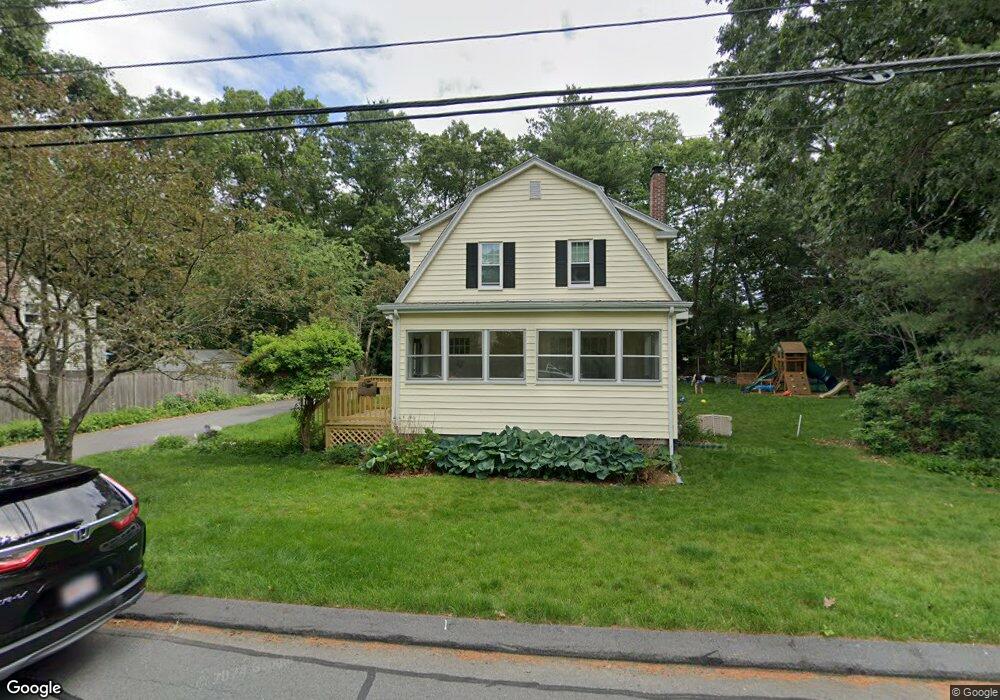
29 Border Rd Natick, MA 01760
Estimated Value: $715,879 - $814,000
4
Beds
2
Baths
1,314
Sq Ft
$583/Sq Ft
Est. Value
About This Home
This home is located at 29 Border Rd, Natick, MA 01760 and is currently estimated at $765,970, approximately $582 per square foot. 29 Border Rd is a home located in Middlesex County with nearby schools including Natick High School, Lilja Elementary School, and Wilson Middle School.
Ownership History
Date
Name
Owned For
Owner Type
Purchase Details
Closed on
Jul 2, 2013
Sold by
Remele Julie M
Bought by
Piel Jessica C and Patterson Jessec
Current Estimated Value
Home Financials for this Owner
Home Financials are based on the most recent Mortgage that was taken out on this home.
Original Mortgage
$302,400
Outstanding Balance
$216,029
Interest Rate
3.51%
Mortgage Type
New Conventional
Estimated Equity
$549,941
Purchase Details
Closed on
May 21, 2013
Sold by
Loewit Kenneth G and Remele Julie M
Bought by
Remele Julie M
Home Financials for this Owner
Home Financials are based on the most recent Mortgage that was taken out on this home.
Original Mortgage
$302,400
Outstanding Balance
$216,029
Interest Rate
3.51%
Mortgage Type
New Conventional
Estimated Equity
$549,941
Create a Home Valuation Report for This Property
The Home Valuation Report is an in-depth analysis detailing your home's value as well as a comparison with similar homes in the area
Home Values in the Area
Average Home Value in this Area
Purchase History
| Date | Buyer | Sale Price | Title Company |
|---|---|---|---|
| Piel Jessica C | $378,000 | -- | |
| Remele Julie M | -- | -- |
Source: Public Records
Mortgage History
| Date | Status | Borrower | Loan Amount |
|---|---|---|---|
| Open | Piel Jessica C | $302,400 |
Source: Public Records
Tax History
| Year | Tax Paid | Tax Assessment Tax Assessment Total Assessment is a certain percentage of the fair market value that is determined by local assessors to be the total taxable value of land and additions on the property. | Land | Improvement |
|---|---|---|---|---|
| 2025 | $7,537 | $630,200 | $410,100 | $220,100 |
| 2024 | $7,275 | $593,400 | $386,000 | $207,400 |
| 2023 | $7,149 | $565,600 | $371,500 | $194,100 |
| 2022 | $7,282 | $545,900 | $337,700 | $208,200 |
| 2021 | $4,804 | $514,200 | $318,400 | $195,800 |
| 2020 | $4,486 | $499,800 | $304,000 | $195,800 |
| 2019 | $6,352 | $499,800 | $304,000 | $195,800 |
| 2018 | $6,025 | $461,700 | $289,500 | $172,200 |
| 2017 | $3,978 | $414,900 | $246,100 | $168,800 |
| 2016 | $5,290 | $389,800 | $222,500 | $167,300 |
| 2015 | $5,196 | $376,000 | $222,500 | $153,500 |
Source: Public Records
Map
Nearby Homes
Your Personal Tour Guide
Ask me questions while you tour the home.