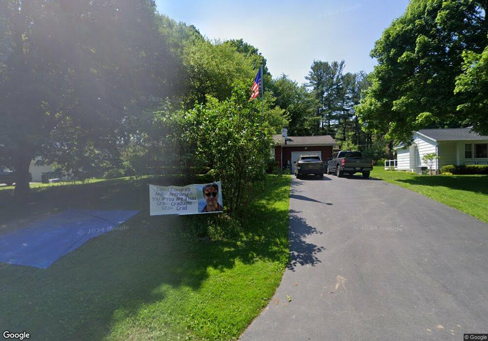
29 Brentwood Ln Fairport, NY 14450
Estimated Value: $304,000 - $348,000
3
Beds
2
Baths
1,144
Sq Ft
$281/Sq Ft
Est. Value
About This Home
This home is located at 29 Brentwood Ln, Fairport, NY 14450 and is currently estimated at $321,280, approximately $280 per square foot. 29 Brentwood Ln is a home located in Monroe County with nearby schools including Jefferson Avenue Elementary School, Martha Brown Middle School, and Minerva Deland School.
Ownership History
Date
Name
Owned For
Owner Type
Purchase Details
Closed on
Jan 9, 2025
Sold by
Terrore Michael T
Bought by
Terrore Michael T and Terrore Christen
Current Estimated Value
Purchase Details
Closed on
May 1, 2006
Sold by
Catalanello Cristina
Bought by
Terrore Michael
Home Financials for this Owner
Home Financials are based on the most recent Mortgage that was taken out on this home.
Original Mortgage
$28,300
Interest Rate
6.4%
Mortgage Type
Stand Alone Second
Purchase Details
Closed on
Jun 18, 2002
Sold by
Gillis Zoe A
Bought by
Catalanello Cristina C
Purchase Details
Closed on
Jun 9, 1998
Sold by
Baker Steven M
Bought by
Gillis Zoe A
Create a Home Valuation Report for This Property
The Home Valuation Report is an in-depth analysis detailing your home's value as well as a comparison with similar homes in the area
Home Values in the Area
Average Home Value in this Area
Purchase History
| Date | Buyer | Sale Price | Title Company |
|---|---|---|---|
| Terrore Michael T | -- | Stewart Title | |
| Terrore Michael T | -- | Stewart Title | |
| Terrore Michael | $141,500 | Michael T. Interlichia | |
| Catalanello Cristina C | $119,500 | Robert M Place | |
| Gillis Zoe A | $96,000 | -- |
Source: Public Records
Mortgage History
| Date | Status | Borrower | Loan Amount |
|---|---|---|---|
| Previous Owner | Terrore Michael | $28,300 | |
| Previous Owner | Terrore Michael | $113,200 |
Source: Public Records
Tax History Compared to Growth
Tax History
| Year | Tax Paid | Tax Assessment Tax Assessment Total Assessment is a certain percentage of the fair market value that is determined by local assessors to be the total taxable value of land and additions on the property. | Land | Improvement |
|---|---|---|---|---|
| 2024 | $5,235 | $158,700 | $42,100 | $116,600 |
| 2023 | $5,008 | $158,700 | $42,100 | $116,600 |
| 2022 | $6,007 | $158,700 | $42,100 | $116,600 |
| 2021 | $5,972 | $158,700 | $42,100 | $116,600 |
| 2020 | $5,152 | $158,700 | $42,100 | $116,600 |
| 2019 | $4,718 | $158,700 | $42,100 | $116,600 |
| 2018 | $4,978 | $158,700 | $42,100 | $116,600 |
| 2017 | $2,809 | $146,900 | $42,100 | $104,800 |
| 2016 | $4,718 | $146,900 | $42,100 | $104,800 |
| 2015 | -- | $146,900 | $42,100 | $104,800 |
| 2014 | -- | $146,900 | $42,100 | $104,800 |
Source: Public Records
Map
Nearby Homes
- 418 Jefferson Ave
- 457 Jefferson Ave
- 19 Crossfield Rd
- 24 Countryside Rd
- 24 Lisand Dr
- 19 Latium Dr
- 640 Jefferson Ave Unit B1
- 640 Jefferson Ave Unit H3
- 640 Jefferson Ave Unit H1
- 640 Jefferson Ave Unit B-2
- 41 Sandle Dr
- 38 Green Valley Rd
- 6156 Pittsford Palmyra Rd
- 5800 Pittsford Palmyra Rd
- 108 Kreag Rd
- 5 Kings Lacey Way
- 31 Dewey Ave
- 73 Clarkes Crossing
- 6 Little Acorn Cir
- 24 Silverwood Cir
- 31 Brentwood Ln
- 27 Brentwood Ln
- 143 Brentwood Ln
- 141 Brentwood Ln
- 25 Brentwood Ln
- 33 Brentwood Ln
- 145 Brentwood Ln
- 30 Brentwood Ln
- 139 Brentwood Ln
- 26 Brentwood Ln
- 23 Brentwood Ln
- 35 Brentwood Ln
- 147 Brentwood Ln
- 24 Brentwood Ln
- 137 Brentwood Ln
- 4 Brookside Dr
- 149 Brentwood Ln
- 22 Brentwood Ln
- 21 Brentwood Ln
- 37 Brentwood Ln