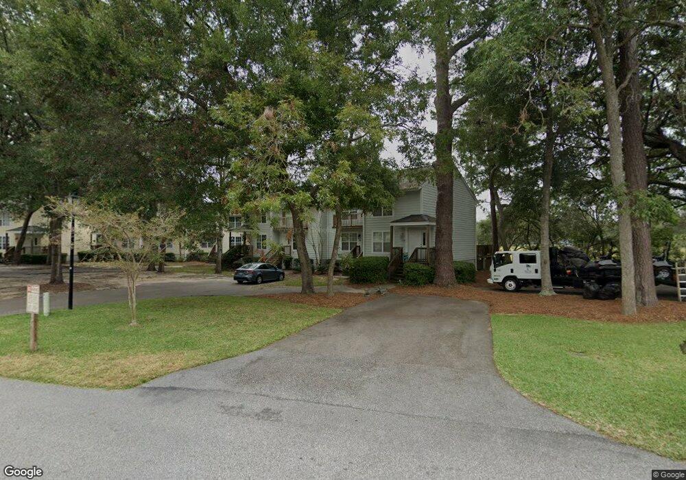
29 Brockman Dr Unit 29B Charleston, SC 29412
James Island NeighborhoodEstimated Value: $331,000 - $381,000
2
Beds
2
Baths
1,180
Sq Ft
$303/Sq Ft
Est. Value
About This Home
This home is located at 29 Brockman Dr Unit 29B, Charleston, SC 29412 and is currently estimated at $357,004, approximately $302 per square foot. 29 Brockman Dr Unit 29B is a home located in Charleston County with nearby schools including Harbor View Elementary School, Camp Road Middle, and James Island Charter High School.
Ownership History
Date
Name
Owned For
Owner Type
Purchase Details
Closed on
Jun 14, 2019
Sold by
Paonessa Irene and Paonessa Irene Nancy
Bought by
Bueno Olivia
Current Estimated Value
Purchase Details
Closed on
Jun 4, 2019
Sold by
Davis Charles R and Davis Katherine E
Bought by
Bueno Olivia
Purchase Details
Closed on
Jan 28, 2010
Sold by
Carroll E Mikell
Bought by
Davis Charles R and Davis Katherine E
Purchase Details
Closed on
Jun 26, 2006
Sold by
Panther Renovations Llc
Bought by
Carroll E Mikell
Purchase Details
Closed on
Sep 27, 2005
Sold by
Paonessa Irene
Bought by
Panther Renovations Llc
Create a Home Valuation Report for This Property
The Home Valuation Report is an in-depth analysis detailing your home's value as well as a comparison with similar homes in the area
Home Values in the Area
Average Home Value in this Area
Purchase History
| Date | Buyer | Sale Price | Title Company |
|---|---|---|---|
| Bueno Olivia | -- | None Available | |
| Bueno Olivia | $210,000 | None Available | |
| Davis Charles R | $150,000 | -- | |
| Carroll E Mikell | $222,600 | None Available | |
| Panther Renovations Llc | $102,000 | -- |
Source: Public Records
Tax History Compared to Growth
Tax History
| Year | Tax Paid | Tax Assessment Tax Assessment Total Assessment is a certain percentage of the fair market value that is determined by local assessors to be the total taxable value of land and additions on the property. | Land | Improvement |
|---|---|---|---|---|
| 2024 | $1,187 | $8,400 | $0 | $0 |
| 2023 | $1,187 | $8,400 | $0 | $0 |
| 2022 | $1,083 | $8,400 | $0 | $0 |
| 2021 | $1,133 | $8,400 | $0 | $0 |
| 2020 | $3,360 | $8,400 | $0 | $0 |
| 2019 | $967 | $6,670 | $0 | $0 |
| 2017 | $935 | $6,670 | $0 | $0 |
| 2016 | $899 | $6,670 | $0 | $0 |
| 2015 | $927 | $6,670 | $0 | $0 |
| 2014 | $802 | $0 | $0 | $0 |
| 2011 | -- | $0 | $0 | $0 |
Source: Public Records
Map
Nearby Homes
- 27 Brockman Dr Unit 27B
- 27 Brockman Dr Unit 27C
- 1 Willingham Ct
- 1359 White House Blvd
- 1402 Camp Rd Unit 5E
- 1402 Camp Rd Unit 6E
- 1402 Camp Rd Unit 1H
- 1402 Camp Rd Unit 8B
- 1402 Camp Rd Unit 9C
- 1402 Camp Rd Unit 12F
- 1616 Relyea Ave
- 1632 N Relyea Ave
- 14 Maplecrest Dr
- 50 Held Cir Unit C
- 1 Maplecrest Dr
- 9 Maplecrest Dr
- 1336 Briarfield Ave
- 17 S Anderson Ave Unit A,B,C, D
- 1418 Kentwood Cir
- 1453 Camp Rd
- 29 Brockman Dr Unit 29D
- 29 Brockman Dr Unit 29C
- 29 Brockman Dr Unit 29A
- 29 Brockman Dr
- 29 Brockman Dr Unit D
- 29 Brockman Dr Unit C
- 29 Brockman Dr Unit B
- 31 Brockman Dr Unit 31D
- 31 Brockman Dr Unit 31C
- 31 Brockman Dr Unit 31B
- 31 Brockman Dr Unit 31A
- 31 Brockman Dr Unit D
- 31 Brockman Dr Unit A
- 31 Brockman Dr Unit C
- 31 Brockman Dr
- 27 Brockman Dr Unit 27D
- 27 Brockman Dr Unit 27A
- 27 Brockman Dr Unit B
- 27 Brockman Dr
- 27 Brockman Dr Unit A