29 Butterfield Rd Newtown, CT 06470
Estimated Value: $989,000 - $1,305,000
4
Beds
3
Baths
3,489
Sq Ft
$309/Sq Ft
Est. Value
About This Home
This home is located at 29 Butterfield Rd, Newtown, CT 06470 and is currently estimated at $1,079,389, approximately $309 per square foot. 29 Butterfield Rd is a home located in Fairfield County with nearby schools including Reed Intermediate School, Newtown Middle School, and Newtown High School.
Ownership History
Date
Name
Owned For
Owner Type
Purchase Details
Closed on
Jun 25, 1996
Sold by
Terhaar Builders Llc
Bought by
Bayles James M and Bayles Trina
Current Estimated Value
Purchase Details
Closed on
Jul 20, 1995
Sold by
Feli Margaret
Bought by
Ter Haar Bldrs Llc
Create a Home Valuation Report for This Property
The Home Valuation Report is an in-depth analysis detailing your home's value as well as a comparison with similar homes in the area
Home Values in the Area
Average Home Value in this Area
Purchase History
| Date | Buyer | Sale Price | Title Company |
|---|---|---|---|
| Bayles James M | $377,500 | -- | |
| Bayles James M | $377,500 | -- | |
| Ter Haar Bldrs Llc | $94,000 | -- | |
| Ter Haar Bldrs Llc | $94,000 | -- |
Source: Public Records
Mortgage History
| Date | Status | Borrower | Loan Amount |
|---|---|---|---|
| Open | Ter Haar Bldrs Llc | $514,600 | |
| Closed | Ter Haar Bldrs Llc | $600,000 |
Source: Public Records
Tax History Compared to Growth
Tax History
| Year | Tax Paid | Tax Assessment Tax Assessment Total Assessment is a certain percentage of the fair market value that is determined by local assessors to be the total taxable value of land and additions on the property. | Land | Improvement |
|---|---|---|---|---|
| 2025 | $15,084 | $524,830 | $157,220 | $367,610 |
| 2024 | $14,155 | $524,830 | $157,220 | $367,610 |
| 2023 | $13,772 | $524,830 | $157,220 | $367,610 |
| 2022 | $13,019 | $375,510 | $110,840 | $264,670 |
| 2021 | $13,011 | $375,510 | $110,840 | $264,670 |
| 2020 | $13,053 | $375,510 | $110,840 | $264,670 |
| 2019 | $13,056 | $375,510 | $110,840 | $264,670 |
| 2018 | $12,857 | $375,510 | $110,840 | $264,670 |
| 2017 | $14,025 | $414,080 | $125,330 | $288,750 |
| 2016 | $13,913 | $414,080 | $125,330 | $288,750 |
| 2015 | $13,694 | $414,080 | $125,330 | $288,750 |
| 2014 | $13,793 | $414,080 | $125,330 | $288,750 |
Source: Public Records
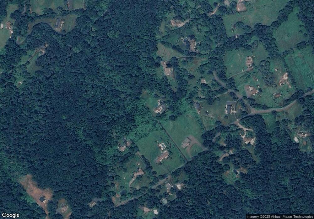
Map
Nearby Homes
- 81 Currituck Rd
- 27 Obtuse Rd S
- 6 Old Woods Rd
- 4 Old Woods Rd
- 67 Hanover Rd
- 53 Tower Rd
- 16 Farrell Rd
- 23 Farrell Rd
- 34 Echo Valley Rd
- 32 Echo Valley Rd
- 9A Obtuse Rocks Rd
- 8 Cherokee Dr
- 14 Concord Ridge Rd
- 48 High Ridge Rd
- 98A Tower Rd
- 21 Lillinonah Dr
- 19 A Apache Dr
- 99 Obtuse Hill Rd
- 6 Violette Rd
- 32 Old Green Rd
- 31 Butterfield Rd
- 25 Butterfield Rd
- 63 Georges Hill Rd
- 59 Georges Hill Rd
- 23 Butterfield Rd
- 33 Butterfield Rd
- 21 Butterfield Rd
- 65 Georges Hill Rd
- 32 Butterfield Rd
- 69 Georges Hill Rd
- 35 Butterfield Rd
- 36 Butterfield Rd
- 34/36 Butterfield Rd
- 52 Georges Hill Rd
- 28 Butterfield Rd
- 38 Butterfield Rd
- 17 Butterfield Rd
- 17 Butterfield Rd
- 17E Butterfield Rd
- 71 Georges Hill Rd