Estimated Value: $516,920
3
Beds
1
Bath
4,266
Sq Ft
$121/Sq Ft
Est. Value
About This Home
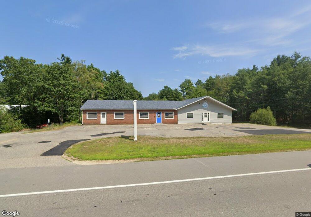
This home is located at 29 Calef Highway (Rte 125)s, Lee, NH 03824 and is currently estimated at $516,920, approximately $121 per square foot. 29 Calef Highway (Rte 125)s is a home located in Strafford County with nearby schools including Mast Way School, Oyster River Middle School, and Oyster River High School.
Ownership History
Date
Name
Owned For
Owner Type
Purchase Details
Closed on
Aug 18, 2017
Sold by
Leighton Clifford H and Leighton Kimberly D
Bought by
Hadley Holdings Llc
Current Estimated Value
Home Financials for this Owner
Home Financials are based on the most recent Mortgage that was taken out on this home.
Original Mortgage
$195,000
Outstanding Balance
$162,712
Interest Rate
3.96%
Mortgage Type
Commercial
Estimated Equity
$354,208
Create a Home Valuation Report for This Property
The Home Valuation Report is an in-depth analysis detailing your home's value as well as a comparison with similar homes in the area
Home Values in the Area
Average Home Value in this Area
Purchase History
| Date | Buyer | Sale Price | Title Company |
|---|---|---|---|
| Hadley Holdings Llc | $245,000 | -- |
Source: Public Records
Mortgage History
| Date | Status | Borrower | Loan Amount |
|---|---|---|---|
| Open | Hadley Holdings Llc | $195,000 |
Source: Public Records
Tax History Compared to Growth
Tax History
| Year | Tax Paid | Tax Assessment Tax Assessment Total Assessment is a certain percentage of the fair market value that is determined by local assessors to be the total taxable value of land and additions on the property. | Land | Improvement |
|---|---|---|---|---|
| 2024 | $13,836 | $536,900 | $375,000 | $161,900 |
| 2023 | $12,354 | $522,800 | $375,000 | $147,800 |
| 2022 | $11,355 | $522,800 | $375,000 | $147,800 |
| 2021 | $11,381 | $522,800 | $375,000 | $147,800 |
| 2020 | $11,817 | $370,900 | $227,200 | $143,700 |
| 2019 | $4,076 | $360,500 | $227,200 | $133,300 |
| 2018 | $10,895 | $356,400 | $227,200 | $129,200 |
| 2017 | $10,557 | $352,600 | $227,200 | $125,400 |
| 2016 | $10,314 | $352,600 | $227,200 | $125,400 |
| 2015 | $8,687 | $297,000 | $172,200 | $124,800 |
| 2014 | $8,821 | $297,000 | $172,200 | $124,800 |
| 2012 | $8,892 | $297,000 | $172,200 | $124,800 |
Source: Public Records
Map
Nearby Homes
- 49 Old Mill Rd
- 60 Roberts Rd
- 9 Chestnut
- 9 Elm Ct
- 48 Candlestick Ln
- 8 Moharimet Dr
- 00 Old Concord Turnpike Us Rt 4 Rd Unit 2
- 0 Nute Rd Unit 19B 5060365
- 11 Autumn Ln
- 19 Autumn Ln
- 21 Autumn Ln
- 1 Autumn Ln
- 366 Old Concord Turnpike
- 5 Autumn Ln
- Lot 1N-11 Captain Smith Dr
- Lot 1N-7 Lipizzan Dr Unit 1N-7
- Lot 1N-10 Captain Smith Dr
- 3 Goldfinch Rd
- 15 Allens Ave
- 235 Beauty Hill Rd
- 29 Calef Hwy
- 6 Route 125
- 64 Pinkham Rd
- 10 Calef Hwy
- 10 Route 125
- 56 Pinkham Rd
- 27 Apollo Dr
- 86 Pinkham Rd
- 52 Pinkham Rd
- 34 Pinkham Rd
- 19 Daniels Dr
- 15 Daniels Dr Unit Lot 15
- 13 Daniels Dr Unit Lot 34
- 11 Daniels Dr Unit Lot 35
- 19 Daniels Dr Unit Lot 32
- 15 Daniels Dr Unit Lot 33
- 58 Pinkham Rd
- 40 Daniels Dr Unit Lot 18
- 666 Route 125
- 42 Daniels Dr Unit Lot 1