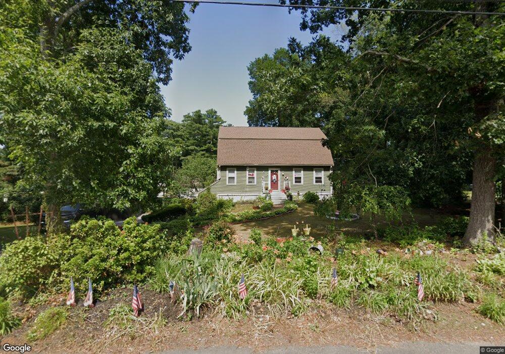
29 Cedar Ln Halifax, MA 02338
Estimated Value: $579,226 - $662,000
3
Beds
2
Baths
1,662
Sq Ft
$375/Sq Ft
Est. Value
About This Home
This home is located at 29 Cedar Ln, Halifax, MA 02338 and is currently estimated at $622,807, approximately $374 per square foot. 29 Cedar Ln is a home located in Plymouth County with nearby schools including Silver Lake Regional High School, Halifax Elementary School, and Silver Lake Regional Middle School.
Ownership History
Date
Name
Owned For
Owner Type
Purchase Details
Closed on
Jan 30, 2003
Sold by
Kiley Daniel E and Kiley Linda A
Bought by
Mclaughlin Michael G and Mclaughlin Kathleen
Current Estimated Value
Purchase Details
Closed on
Jul 2, 2001
Sold by
Lourenco Rt
Bought by
Kiley Daniel E and Kiley Linda A
Home Financials for this Owner
Home Financials are based on the most recent Mortgage that was taken out on this home.
Original Mortgage
$215,920
Interest Rate
7.14%
Mortgage Type
Purchase Money Mortgage
Purchase Details
Closed on
Jun 6, 1990
Sold by
Bc Re Inc
Bought by
Lourenco Dale R
Home Financials for this Owner
Home Financials are based on the most recent Mortgage that was taken out on this home.
Original Mortgage
$124,700
Interest Rate
10.39%
Mortgage Type
Purchase Money Mortgage
Create a Home Valuation Report for This Property
The Home Valuation Report is an in-depth analysis detailing your home's value as well as a comparison with similar homes in the area
Home Values in the Area
Average Home Value in this Area
Purchase History
| Date | Buyer | Sale Price | Title Company |
|---|---|---|---|
| Mclaughlin Michael G | $315,000 | -- | |
| Kiley Daniel E | $269,900 | -- | |
| Lourenco Dale R | $155,900 | -- |
Source: Public Records
Mortgage History
| Date | Status | Borrower | Loan Amount |
|---|---|---|---|
| Previous Owner | Lourenco Dale R | $215,920 | |
| Previous Owner | Lourenco Dale R | $124,700 | |
| Closed | Lourenco Dale R | $13,000 |
Source: Public Records
Tax History Compared to Growth
Tax History
| Year | Tax Paid | Tax Assessment Tax Assessment Total Assessment is a certain percentage of the fair market value that is determined by local assessors to be the total taxable value of land and additions on the property. | Land | Improvement |
|---|---|---|---|---|
| 2025 | $7,104 | $497,800 | $182,200 | $315,600 |
| 2024 | $6,952 | $482,800 | $175,200 | $307,600 |
| 2023 | $6,809 | $457,600 | $170,000 | $287,600 |
| 2022 | $6,603 | $412,400 | $151,800 | $260,600 |
| 2021 | $6,412 | $368,700 | $146,000 | $222,700 |
| 2020 | $6,341 | $363,600 | $160,600 | $203,000 |
| 2019 | $6,214 | $355,700 | $155,900 | $199,800 |
| 2018 | $5,969 | $338,200 | $147,100 | $191,100 |
| 2017 | $5,994 | $323,500 | $147,100 | $176,400 |
| 2016 | $5,860 | $304,400 | $137,500 | $166,900 |
| 2015 | $5,819 | $306,400 | $137,500 | $168,900 |
Source: Public Records
Map
Nearby Homes
- 71 Annawon Dr
- 23 Lantern Ln
- 43 Buttonwood Rd
- 192 Twin Lakes Dr
- 151 Plymouth St Unit 151A
- 553 Monponsett St
- 17 Lake St
- 343 Monponsett St
- 25 Lawrence Rd
- 40 3rd Ave
- 8 Beechwood Rd
- 1 Ferndale Dr
- The Drift Plan at Featherwinds
- 265 Monponsett St Unit 2210
- The Expanded Cloud Plan at Featherwinds
- The Cirrus Plan at Featherwinds
- 265 Monponsett St Unit 2203
- The Breeze Plan at Featherwinds
- The Wind Plan at Featherwinds
- 27 Ferndale Dr