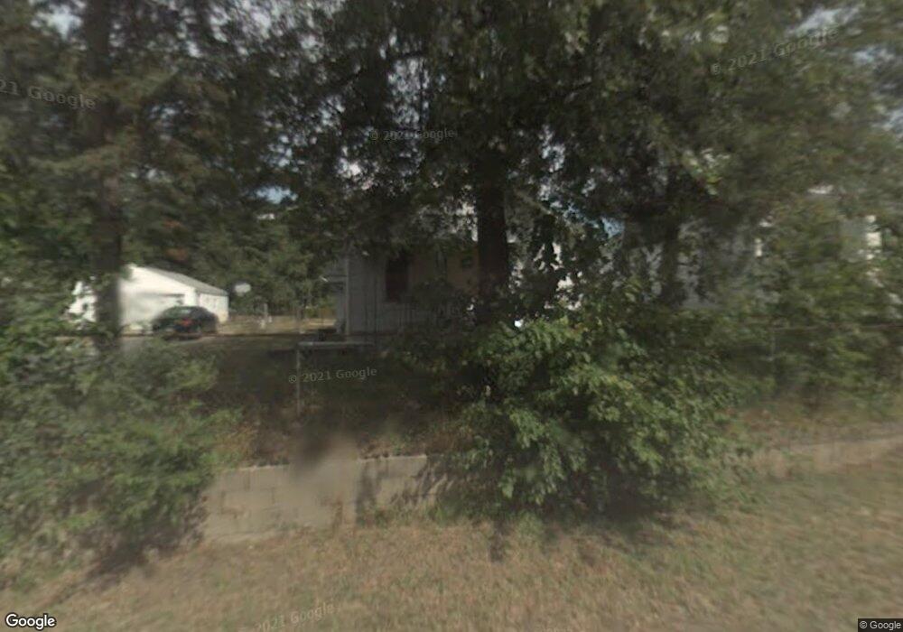
29 Charles St Battle Creek, MI 49014
Estimated Value: $93,000 - $116,000
1
Bed
1
Bath
816
Sq Ft
$130/Sq Ft
Est. Value
About This Home
This home is located at 29 Charles St, Battle Creek, MI 49014 and is currently estimated at $105,913, approximately $129 per square foot. 29 Charles St is a home located in Calhoun County with nearby schools including Harper Creek Middle School and Harper Creek High School.
Ownership History
Date
Name
Owned For
Owner Type
Purchase Details
Closed on
Mar 21, 2020
Sold by
Bank Of New York Mellon Trust Company
Bought by
Mccants Corey
Current Estimated Value
Purchase Details
Closed on
May 30, 2019
Sold by
Lutz Douglas E and Lutz Judy M
Bought by
The Bank Of New Mellon Trust Company Na and Mastr Alternative Loan Trust
Purchase Details
Closed on
Jul 10, 2003
Sold by
Lutz Douglas E
Bought by
Lutz Douglas E and Lutz Lutz
Purchase Details
Closed on
Apr 2, 2003
Sold by
Kline Margaret A
Bought by
Lutz Douglas E and Lutz Lutz
Purchase Details
Closed on
Nov 1, 2002
Sold by
Barton Maggie and Barton Trust
Bought by
Kline Margaret A
Purchase Details
Closed on
Nov 2, 1999
Sold by
Barton Maggie and Barton Trust
Bought by
Barton Maggie
Create a Home Valuation Report for This Property
The Home Valuation Report is an in-depth analysis detailing your home's value as well as a comparison with similar homes in the area
Home Values in the Area
Average Home Value in this Area
Purchase History
| Date | Buyer | Sale Price | Title Company |
|---|---|---|---|
| Mccants Corey | $15,000 | None Available | |
| The Bank Of New Mellon Trust Company Na | $21,109 | None Available | |
| Lutz Douglas E | -- | -- | |
| Lutz Douglas E | $46,100 | -- | |
| Kline Margaret A | $100 | -- | |
| Barton Maggie | -- | -- |
Source: Public Records
Tax History Compared to Growth
Tax History
| Year | Tax Paid | Tax Assessment Tax Assessment Total Assessment is a certain percentage of the fair market value that is determined by local assessors to be the total taxable value of land and additions on the property. | Land | Improvement |
|---|---|---|---|---|
| 2025 | $1,009 | $43,800 | $0 | $0 |
| 2024 | $718 | $31,580 | $0 | $0 |
| 2023 | $907 | $22,980 | $0 | $0 |
| 2022 | $651 | $15,590 | $0 | $0 |
| 2021 | $899 | $15,600 | $0 | $0 |
| 2020 | $904 | $15,450 | $0 | $0 |
| 2019 | $1,102 | $15,500 | $0 | $0 |
| 2018 | $697 | $14,300 | $1,200 | $13,100 |
| 2017 | $697 | $13,700 | $0 | $0 |
| 2016 | $697 | $13,300 | $0 | $0 |
| 2015 | $353 | $12,450 | $0 | $0 |
| 2014 | $353 | $14,450 | $0 | $0 |
Source: Public Records
Map
Nearby Homes
- 0 Rook St Unit 25019652
- 23 Bradford St
- 138 Rook St
- 79 Clark St
- 255 Livingston St
- 140 Princeton St S
- 131 Academy St
- 222 Lathrop Ave
- 507 Michigan Ave E
- 501 Michigan Ave E
- 116 Inn Rd
- 232 Cliff St
- 85 East Ave S
- 118 Nelson St
- 0 E River Rd
- 174 Lathrop Ave
- 155 Post Ave
- 45 Traverse St
- 17 Wren St
- 28 East Ave S