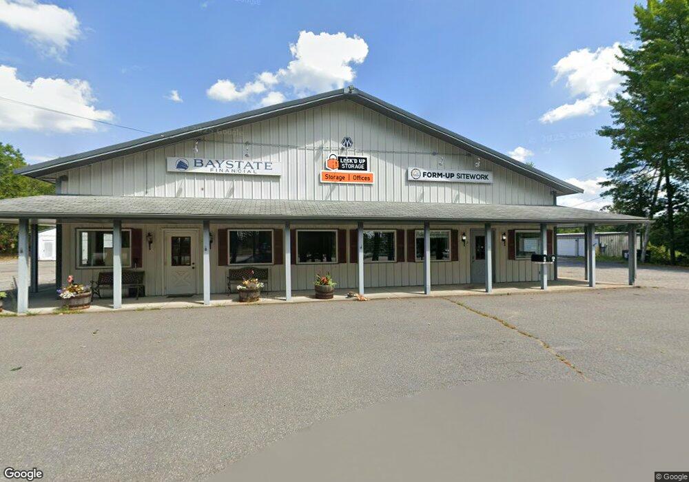
29 Commercial Ln Rindge, NH 03461
Estimated Value: $1,545,251
--
Bed
--
Bath
--
Sq Ft
9.8
Acres
About This Home
This home is located at 29 Commercial Ln, Rindge, NH 03461 and is currently estimated at $1,545,251. 29 Commercial Ln is a home located in Cheshire County with nearby schools including Rindge Memorial School, Conant Middle High School, and Conant High School.
Ownership History
Date
Name
Owned For
Owner Type
Purchase Details
Closed on
Jan 15, 2021
Sold by
Paula M Aucoin Ret
Bought by
Lockd Up Storage Nh Llc
Current Estimated Value
Home Financials for this Owner
Home Financials are based on the most recent Mortgage that was taken out on this home.
Original Mortgage
$750,000
Outstanding Balance
$669,378
Interest Rate
2.71%
Mortgage Type
Purchase Money Mortgage
Estimated Equity
$875,873
Create a Home Valuation Report for This Property
The Home Valuation Report is an in-depth analysis detailing your home's value as well as a comparison with similar homes in the area
Home Values in the Area
Average Home Value in this Area
Purchase History
| Date | Buyer | Sale Price | Title Company |
|---|---|---|---|
| Lockd Up Storage Nh Llc | $1,000,000 | None Available |
Source: Public Records
Mortgage History
| Date | Status | Borrower | Loan Amount |
|---|---|---|---|
| Open | Lockd Up Storage Nh Llc | $750,000 |
Source: Public Records
Tax History Compared to Growth
Tax History
| Year | Tax Paid | Tax Assessment Tax Assessment Total Assessment is a certain percentage of the fair market value that is determined by local assessors to be the total taxable value of land and additions on the property. | Land | Improvement |
|---|---|---|---|---|
| 2024 | $43,427 | $1,715,800 | $233,200 | $1,482,600 |
| 2023 | $42,964 | $1,715,800 | $233,200 | $1,482,600 |
| 2022 | $41,097 | $1,784,500 | $233,200 | $1,551,300 |
| 2021 | $23,871 | $1,053,900 | $233,200 | $820,700 |
| 2020 | $23,660 | $1,053,900 | $233,200 | $820,700 |
| 2019 | $23,438 | $844,300 | $211,800 | $632,500 |
| 2018 | $23,218 | $844,300 | $211,800 | $632,500 |
| 2017 | $22,957 | $844,300 | $211,800 | $632,500 |
| 2016 | $23,564 | $844,300 | $211,800 | $632,500 |
| 2015 | $23,548 | $844,300 | $211,800 | $632,500 |
| 2014 | $21,650 | $831,740 | $233,100 | $598,640 |
| 2013 | $21,176 | $831,740 | $233,100 | $598,640 |
Source: Public Records
Map
Nearby Homes
- Lot 14 Saybrook Dr
- Lot 15-0 Saybrook Dr
- Lot 2 Saybrook Dr
- Lot 1 Saybrook Dr
- 0 Thomas Rd Unit 10 5014817
- 39 Willow Ln
- 31 Willow Ln
- 37 Willow Ln
- 41 Willow Ln
- Lot 4 Saybrook Dr
- 307 Main St
- 20 W Main St
- 40 Maple Dr
- 22 Daria Dr
- 28 Wellington Rd
- 42 Cromwell Dr Unit 19
- 19 Monomonac Terrace
- 239 Abel Rd
- 26 Weidner Dr
- 7 Emerson Dr
- 29 Commercial Ln
- 29 Commercial Ln
- 29 Commercial Ln Unit 2
- 29 Sonja Cir
- 244 Route 202 Unit Map 2 lot 43 and lot
- 0 Us Route 202 West Side Unit 4686745
- 31 Sonja Dr
- 244 Us Route 202 East Side
- 24 Rand Rd
- 34 Sonja Cir
- 49 Dale Farm Rd
- 51 Dale Farm Rd
- 0 Dale Farm Off Route 202 S Unit 4499204
- 40 Rand Rd
- 46 Rand Rd
- 13 Rand Rd
- 54 Jericho Rd
- 52 Jericho Rd
- 56 Jericho Rd
- 107 Forristall Rd