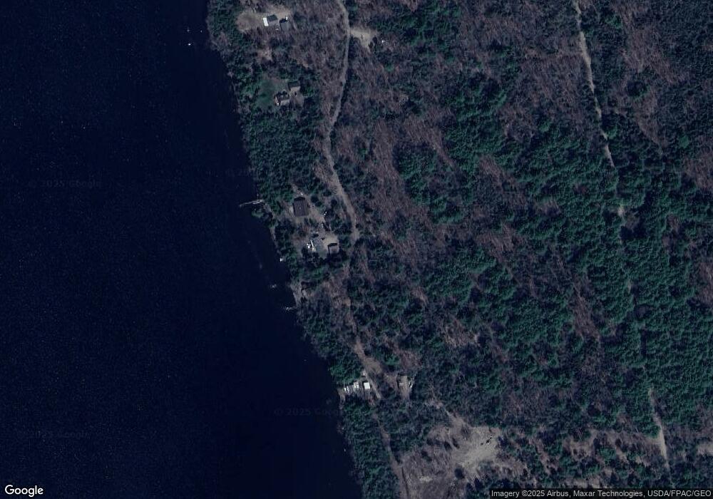
29 Corrie Rd Newport, ME 04953
Estimated Value: $416,000 - $608,000
3
Beds
1
Bath
1,620
Sq Ft
$319/Sq Ft
Est. Value
About This Home
This home is located at 29 Corrie Rd, Newport, ME 04953 and is currently estimated at $516,183, approximately $318 per square foot. 29 Corrie Rd is a home with nearby schools including Sebasticook Valley Elementary School and Nokomis Regional Middle School/High School.
Create a Home Valuation Report for This Property
The Home Valuation Report is an in-depth analysis detailing your home's value as well as a comparison with similar homes in the area
Home Values in the Area
Average Home Value in this Area
Tax History Compared to Growth
Tax History
| Year | Tax Paid | Tax Assessment Tax Assessment Total Assessment is a certain percentage of the fair market value that is determined by local assessors to be the total taxable value of land and additions on the property. | Land | Improvement |
|---|---|---|---|---|
| 2024 | $6,557 | $374,700 | $210,500 | $164,200 |
| 2023 | $5,708 | $350,200 | $196,800 | $153,400 |
| 2022 | $5,423 | $276,700 | $155,500 | $121,200 |
| 2021 | $5,449 | $264,500 | $148,600 | $115,900 |
| 2020 | $0 | $259,600 | $145,900 | $113,700 |
| 2019 | $5,216 | $244,900 | $137,600 | $107,300 |
| 2018 | $233 | $244,900 | $137,600 | $107,300 |
| 2017 | $4,782 | $239,100 | $137,600 | $101,500 |
| 2016 | $225 | $239,100 | $137,600 | $101,500 |
| 2015 | $4,280 | $239,100 | $137,600 | $101,500 |
| 2014 | $4,131 | $240,200 | $137,600 | $102,600 |
Source: Public Records
Map
Nearby Homes
- 009-007 Lilly Dr
- 133 Hart St
- 48 Hart St
- 106 Shady Ln
- 107 Shady Ln
- Lot 3-12 Shady Ln
- 448 Elm St
- 20 Spruce St
- 10 Sheridan St
- 107 Barrows Point Rd
- 8 Grove St
- 22 Shaw St
- 49 North St
- 16 Libby Hill Rd
- 91 Curtis Rd
- 39 Burleigh Rd
- 315 Golf Course Rd
- lot 6 Golf Course Rd Unit Lot 6
- 267 E Newport Rd
- lot 5 Golf Course Cameo Sub Rd
- 11 Corrie Rd
- 7 Corrie Rd
- 0 Jamie Rd Unit 669243
- 0 Jamie Rd Unit 669209
- 0 Jamie Rd Unit 969243
- 0 Jamie Rd Unit 1256996
- 0 Jamie Rd Unit 1310958
- 0 Pearls Ln Unit 1549612
- 0 Pearls Ln Unit 1472298
- 0 Pearls Ln Unit 1518938
- 66 Pearis Ln
- 8-25 Corrie Rd
- 0 Murray Unit 244189
- 0 Murray Unit 244188
- 0 Murray Unit 237058
- 0 Murray Unit 1262215
- 0 Murray Unit 1303482
- 0 Murray Unit 1358819
- Off Murray Rd
