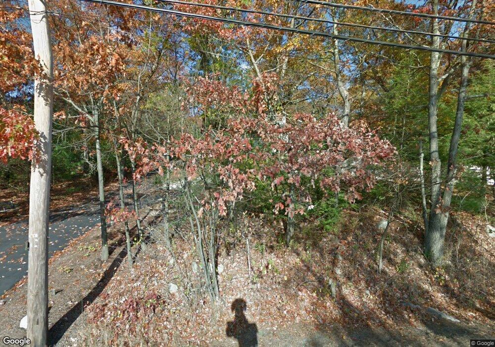
Estimated Value: $1,091,710 - $1,351,000
3
Beds
3
Baths
2,361
Sq Ft
$517/Sq Ft
Est. Value
About This Home
This home is located at 29 County St, Dover, MA 02030 and is currently estimated at $1,221,178, approximately $517 per square foot. 29 County St is a home located in Norfolk County with nearby schools including Chickering Elementary School, Dover-Sherborn Regional Middle School, and Dover-Sherborn Regional High School.
Ownership History
Date
Name
Owned For
Owner Type
Purchase Details
Closed on
Nov 29, 2001
Sold by
Dana Richard S
Bought by
Mangiaratti Paul J and Mangiaratti Teri M
Current Estimated Value
Purchase Details
Closed on
Jun 25, 1999
Sold by
White W Bradley and White Pamela G
Bought by
Dana Richard S
Purchase Details
Closed on
Feb 27, 1998
Sold by
Ostheimer Jane W
Bought by
White W Bradley and White Pamela G
Create a Home Valuation Report for This Property
The Home Valuation Report is an in-depth analysis detailing your home's value as well as a comparison with similar homes in the area
Home Values in the Area
Average Home Value in this Area
Purchase History
| Date | Buyer | Sale Price | Title Company |
|---|---|---|---|
| Mangiaratti Paul J | $485,000 | -- | |
| Dana Richard S | $395,000 | -- | |
| White W Bradley | $290,000 | -- |
Source: Public Records
Mortgage History
| Date | Status | Borrower | Loan Amount |
|---|---|---|---|
| Open | White W Bradley | $235,000 | |
| Closed | White W Bradley | $100,000 | |
| Closed | White W Bradley | $250,000 |
Source: Public Records
Tax History Compared to Growth
Tax History
| Year | Tax Paid | Tax Assessment Tax Assessment Total Assessment is a certain percentage of the fair market value that is determined by local assessors to be the total taxable value of land and additions on the property. | Land | Improvement |
|---|---|---|---|---|
| 2025 | $11,265 | $999,600 | $468,100 | $531,500 |
| 2024 | $10,282 | $938,100 | $436,700 | $501,400 |
| 2023 | $9,973 | $818,100 | $381,400 | $436,700 |
| 2022 | $9,176 | $738,800 | $350,000 | $388,800 |
| 2021 | $8,763 | $679,800 | $303,000 | $376,800 |
| 2020 | $8,729 | $679,800 | $303,000 | $376,800 |
| 2019 | $8,790 | $679,800 | $303,000 | $376,800 |
| 2018 | $8,483 | $660,700 | $303,000 | $357,700 |
| 2017 | $8,227 | $630,400 | $263,700 | $366,700 |
| 2016 | $8,463 | $657,100 | $255,900 | $401,200 |
| 2015 | $8,644 | $680,600 | $279,400 | $401,200 |
Source: Public Records
Map
Nearby Homes
- 11 Stonegate Ln
- 9 Stonegate Dr
- 18 Tisdale Dr Unit 18
- 14 Ruel Dr
- 29 Hartford St
- 36 Kingswood Rd
- 1080 North St
- 95 Arcadia Rd
- 151 Arcadia Rd
- 60 Warwick Dr
- 144 Pine St
- 17 Bridle Path
- 16 Albemarle Rd
- 207 Hartford St
- 12 Belknap Rd
- 40 Hearthstone Dr
- 39 Bayley St
- 8 Hamlins Crossing
- 386 Winter St
- 43 Westover Pkwy
