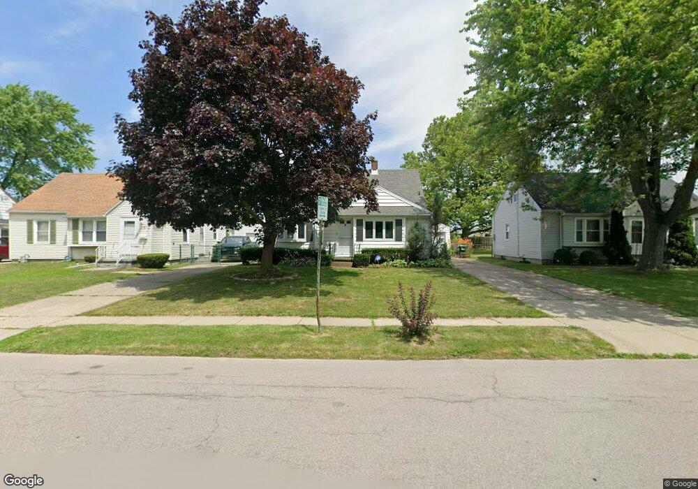
29 Coventry Rd Buffalo, NY 14217
Paramount NeighborhoodEstimated Value: $236,608 - $263,000
3
Beds
1
Bath
1,248
Sq Ft
$199/Sq Ft
Est. Value
About This Home
This home is located at 29 Coventry Rd, Buffalo, NY 14217 and is currently estimated at $248,152, approximately $198 per square foot. 29 Coventry Rd is a home located in Erie County with nearby schools including Herbert Hoover Elementary School, Herbert Hoover Middle School, and Kenmore West Senior High School.
Ownership History
Date
Name
Owned For
Owner Type
Purchase Details
Closed on
Dec 1, 2005
Sold by
Franco Joseph M and Franco John R
Bought by
Denzel David E
Current Estimated Value
Home Financials for this Owner
Home Financials are based on the most recent Mortgage that was taken out on this home.
Original Mortgage
$74,700
Outstanding Balance
$41,432
Interest Rate
6.34%
Mortgage Type
Unknown
Estimated Equity
$206,720
Create a Home Valuation Report for This Property
The Home Valuation Report is an in-depth analysis detailing your home's value as well as a comparison with similar homes in the area
Home Values in the Area
Average Home Value in this Area
Purchase History
| Date | Buyer | Sale Price | Title Company |
|---|---|---|---|
| Denzel David E | $83,000 | None Available |
Source: Public Records
Mortgage History
| Date | Status | Borrower | Loan Amount |
|---|---|---|---|
| Open | Denzel David E | $74,700 |
Source: Public Records
Tax History
| Year | Tax Paid | Tax Assessment Tax Assessment Total Assessment is a certain percentage of the fair market value that is determined by local assessors to be the total taxable value of land and additions on the property. | Land | Improvement |
|---|---|---|---|---|
| 2024 | $5,259 | $43,200 | $9,400 | $33,800 |
| 2023 | $5,144 | $43,200 | $9,400 | $33,800 |
| 2022 | $4,850 | $43,200 | $9,400 | $33,800 |
| 2021 | $4,832 | $43,200 | $9,400 | $33,800 |
| 2020 | $3,521 | $43,200 | $9,400 | $33,800 |
| 2019 | $3,393 | $43,200 | $9,400 | $33,800 |
| 2018 | $3,347 | $43,200 | $9,400 | $33,800 |
| 2017 | $1,577 | $43,200 | $9,400 | $33,800 |
| 2016 | $3,161 | $43,200 | $9,400 | $33,800 |
| 2015 | -- | $43,200 | $9,400 | $33,800 |
| 2014 | -- | $43,200 | $9,400 | $33,800 |
Source: Public Records
Map
Nearby Homes
- 16 Zimmerman Blvd
- 82 Zimmerman Blvd
- 110 Traverse Blvd
- 46 Cleveland Dr
- 66 Cleveland Dr
- 132 June Rd
- 154 Liston St
- 298 Lowell Rd
- 1774 Military #59 Rd
- 211 Liston St
- 249 Glencove Rd
- 311 Zimmerman Blvd
- 87 Tulane Rd
- 289 Orchard Dr
- 74 Eiseman Ave
- 36 Crane Place Unit 32
- 93 N End Ave
- 135 Thurston Ave
- 311 Clark St
- 30 Enola Ave
- 33 Coventry Rd
- 23 Coventry Rd
- 39 Coventry Rd
- 26 Canterbury Ln
- 22 Canterbury Ln
- 32 Canterbury Ln
- 43 Coventry Rd
- 36 Canterbury Ln
- 16 Canterbury Ln
- 3660 Delaware Ave
- 30 Coventry Rd
- 3680 Delaware Ave
- 24 Coventry Rd
- 34 Coventry Rd
- 42 Canterbury Ln
- 49 Coventry Rd
- 40 Coventry Rd
- 46 Canterbury Ln
- 44 Coventry Rd
- 53 Coventry Rd
Your Personal Tour Guide
Ask me questions while you tour the home.