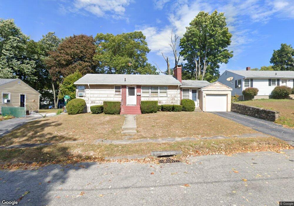
29 Crest Cir Worcester, MA 01603
Webster Square NeighborhoodEstimated Value: $350,000 - $361,550
3
Beds
2
Baths
950
Sq Ft
$375/Sq Ft
Est. Value
About This Home
This home is located at 29 Crest Cir, Worcester, MA 01603 and is currently estimated at $355,888, approximately $374 per square foot. 29 Crest Cir is a home located in Worcester County with nearby schools including Gates Lane, Jacob Hiatt Magnet School, and Chandler Magnet.
Create a Home Valuation Report for This Property
The Home Valuation Report is an in-depth analysis detailing your home's value as well as a comparison with similar homes in the area
Home Values in the Area
Average Home Value in this Area
Tax History
| Year | Tax Paid | Tax Assessment Tax Assessment Total Assessment is a certain percentage of the fair market value that is determined by local assessors to be the total taxable value of land and additions on the property. | Land | Improvement |
|---|---|---|---|---|
| 2025 | $4,299 | $325,900 | $97,600 | $228,300 |
| 2024 | $4,202 | $305,600 | $97,600 | $208,000 |
| 2023 | $4,068 | $283,700 | $84,800 | $198,900 |
| 2022 | $3,614 | $237,600 | $67,900 | $169,700 |
| 2021 | $3,479 | $213,700 | $54,300 | $159,400 |
| 2020 | $3,332 | $196,000 | $53,900 | $142,100 |
| 2019 | $3,103 | $172,400 | $47,000 | $125,400 |
| 2018 | $3,007 | $159,000 | $47,000 | $112,000 |
| 2017 | $3,052 | $158,800 | $47,000 | $111,800 |
| 2016 | $2,972 | $144,200 | $33,200 | $111,000 |
| 2015 | $2,894 | $144,200 | $33,200 | $111,000 |
| 2014 | $2,818 | $144,200 | $33,200 | $111,000 |
Source: Public Records
Map
Nearby Homes
- 32 Goddard Memorial Dr
- 26 Sylvan St
- 55 Grandview Ave
- 76 Parsons Hill Dr Unit A
- 13 Merchant St
- 128 Wildwood Ave
- 103 Henshaw St
- 25 Wyola Dr
- 23B Timrod Dr
- 35 Genessee St Unit E
- 11 Timrod Dr
- 1511 Main St Unit C405
- 31 B Gates Rd Unit 22R
- 2 Montague St
- 22 Lanark St
- 57 1st St
- 23 Lakewood St
- 34 Scandinavia Ave
- 315 Stafford St
- 27 Havana Rd
Your Personal Tour Guide
Ask me questions while you tour the home.