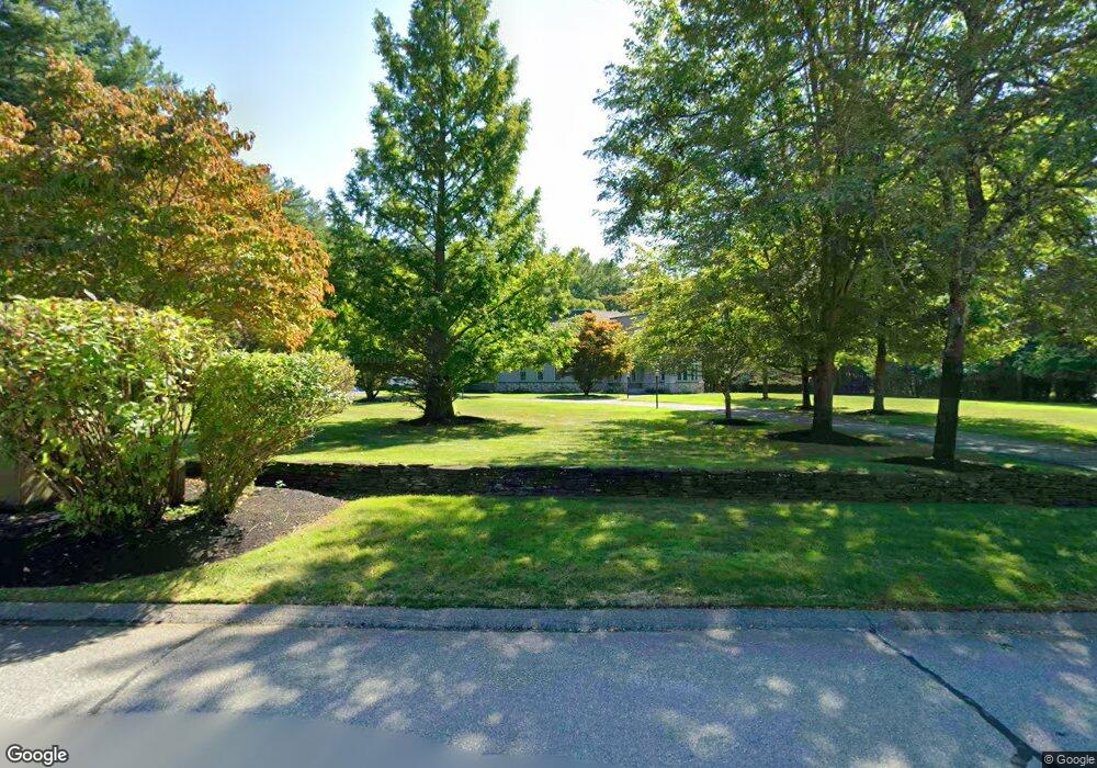
29 Cummings Ln Hollis, NH 03049
Hollis NeighborhoodEstimated Value: $1,185,000 - $1,638,831
4
Beds
3
Baths
4,946
Sq Ft
$293/Sq Ft
Est. Value
About This Home
This home is located at 29 Cummings Ln, Hollis, NH 03049 and is currently estimated at $1,450,708, approximately $293 per square foot. 29 Cummings Ln is a home with nearby schools including Hollis Primary School, Hollis Upper Elementary School, and Hollis-Brookline Middle School.
Ownership History
Date
Name
Owned For
Owner Type
Purchase Details
Closed on
Aug 22, 2016
Sold by
Sullivan Paul J and Sullivan Laine E
Bought by
Pls Ret
Current Estimated Value
Purchase Details
Closed on
Oct 20, 2015
Sold by
Sullivan Paul J and Sullivan Laine F
Bought by
Pls Ret
Purchase Details
Closed on
Mar 29, 2000
Sold by
Amp Props
Bought by
Sullivan Paul J and Sullivan Laine
Create a Home Valuation Report for This Property
The Home Valuation Report is an in-depth analysis detailing your home's value as well as a comparison with similar homes in the area
Home Values in the Area
Average Home Value in this Area
Purchase History
| Date | Buyer | Sale Price | Title Company |
|---|---|---|---|
| Pls Ret | -- | -- | |
| Pls Ret | -- | -- | |
| Sullivan Paul J | $80,000 | -- |
Source: Public Records
Mortgage History
| Date | Status | Borrower | Loan Amount |
|---|---|---|---|
| Previous Owner | Sullivan Paul J | $250,000 | |
| Previous Owner | Sullivan Paul J | $407,000 | |
| Previous Owner | Sullivan Paul J | $30,000 |
Source: Public Records
Tax History Compared to Growth
Tax History
| Year | Tax Paid | Tax Assessment Tax Assessment Total Assessment is a certain percentage of the fair market value that is determined by local assessors to be the total taxable value of land and additions on the property. | Land | Improvement |
|---|---|---|---|---|
| 2024 | $26,850 | $1,514,400 | $381,300 | $1,133,100 |
| 2023 | $25,230 | $1,514,400 | $381,300 | $1,133,100 |
| 2022 | $34,180 | $1,514,400 | $381,300 | $1,133,100 |
| 2021 | $21,152 | $931,800 | $244,500 | $687,300 |
| 2020 | $5,848 | $931,800 | $244,500 | $687,300 |
| 2019 | $5,791 | $931,800 | $244,500 | $687,300 |
| 2018 | $20,192 | $931,800 | $244,500 | $687,300 |
| 2017 | $19,425 | $839,100 | $220,000 | $619,100 |
| 2016 | $19,660 | $839,100 | $220,000 | $619,100 |
| 2015 | $19,316 | $839,100 | $220,000 | $619,100 |
| 2014 | $19,408 | $839,100 | $220,000 | $619,100 |
| 2013 | $19,148 | $839,100 | $220,000 | $619,100 |
Source: Public Records
Map
Nearby Homes
- 5 Plainfield Ln
- 11 Rideout Rd
- 1014 W Hollis St
- 20 Martha St
- 11 Bartemus Trail Unit 204
- 4 Chesapeake Rd
- 76 Bartemus Trail Unit U231
- 2 Matties Way
- 334 Broad St
- 12 Clovercrest Dr
- 46 Scenic Dr
- 95 Wright Rd
- 1 Ladd Ln
- 9-48-8 Ladd Ln
- 12 Spring Cove Rd Unit U103
- 40 Spring Cove Rd Unit U117
- 199 Pine Hill Rd
- 3 Richmond St
- 27 Country Hill Rd Unit U90
- 4 Nelson St
