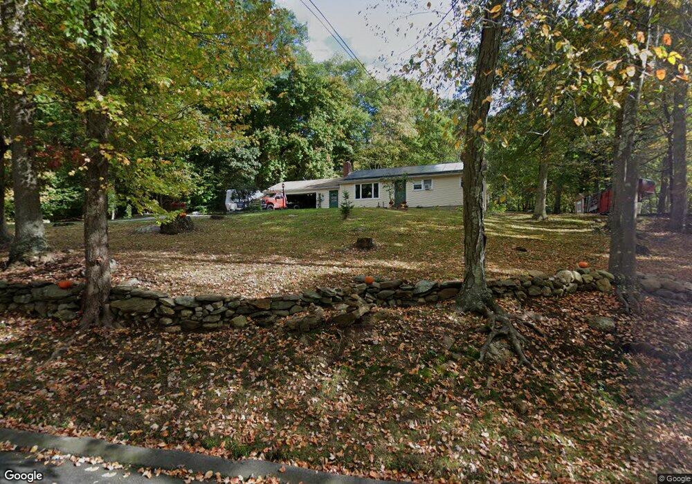
29 Daniel St East Hampton, CT 06424
Estimated Value: $306,000 - $409,000
4
Beds
2
Baths
1,664
Sq Ft
$211/Sq Ft
Est. Value
About This Home
This home is located at 29 Daniel St, East Hampton, CT 06424 and is currently estimated at $351,286, approximately $211 per square foot. 29 Daniel St is a home located in Middlesex County with nearby schools including Memorial School, Center Elementary School, and East Hampton Middle School.
Ownership History
Date
Name
Owned For
Owner Type
Purchase Details
Closed on
Dec 22, 2025
Sold by
Stoeckle Ralph E Est and Peszynski
Bought by
Rand William W and Rand Joan
Current Estimated Value
Home Financials for this Owner
Home Financials are based on the most recent Mortgage that was taken out on this home.
Original Mortgage
$292,600
Outstanding Balance
$292,301
Interest Rate
6.22%
Mortgage Type
New Conventional
Estimated Equity
$58,985
Purchase Details
Closed on
May 25, 1965
Bought by
Stoeckle Ralph E and Stoeckle Veronica
Create a Home Valuation Report for This Property
The Home Valuation Report is an in-depth analysis detailing your home's value as well as a comparison with similar homes in the area
Home Values in the Area
Average Home Value in this Area
Purchase History
| Date | Buyer | Sale Price | Title Company |
|---|---|---|---|
| Rand William W | $308,000 | -- | |
| Stoeckle Ralph E | -- | -- |
Source: Public Records
Mortgage History
| Date | Status | Borrower | Loan Amount |
|---|---|---|---|
| Open | Rand William W | $292,600 | |
| Previous Owner | Stoeckle Ralph E | $279,500 | |
| Previous Owner | Stoeckle Ralph E | $86,000 | |
| Previous Owner | Stoeckle Ralph E | $65,000 |
Source: Public Records
Tax History
| Year | Tax Paid | Tax Assessment Tax Assessment Total Assessment is a certain percentage of the fair market value that is determined by local assessors to be the total taxable value of land and additions on the property. | Land | Improvement |
|---|---|---|---|---|
| 2025 | $6,659 | $167,700 | $72,930 | $94,770 |
| 2024 | $6,379 | $167,700 | $72,930 | $94,770 |
| 2023 | $6,047 | $167,700 | $72,930 | $94,770 |
| 2022 | $5,812 | $167,700 | $72,930 | $94,770 |
| 2021 | $5,791 | $167,700 | $72,930 | $94,770 |
| 2020 | $5,719 | $172,560 | $74,310 | $98,250 |
| 2019 | $5,737 | $173,110 | $76,380 | $96,730 |
| 2018 | $5,422 | $173,110 | $76,380 | $96,730 |
| 2017 | $5,422 | $173,110 | $76,380 | $96,730 |
| 2016 | $5,096 | $173,110 | $76,380 | $96,730 |
| 2015 | $4,932 | $177,520 | $77,880 | $99,640 |
| 2014 | $4,291 | $177,520 | $77,880 | $99,640 |
Source: Public Records
Map
Nearby Homes
- 3 Young St
- 27 Edgerton St
- 29 Watrous St
- 8 Aldens Crossing
- Lot 2 Aldens Crossing
- 4 Watrous St
- 1 Watrous St
- 14 Main St
- 226 W High St
- 95 Tarragon Dr
- 289 Young St
- 43 E High St
- 24 N Main St
- 91-A Flatbrook Rd Unit 91
- 424 Moodus Rd
- 418 Moodus Rd
- 420 Moodus Rd
- 104 Lake Vista Dr Unit 104
- 130 Bear Swamp Rd
- 18 Lake Blvd
Your Personal Tour Guide
Ask me questions while you tour the home.