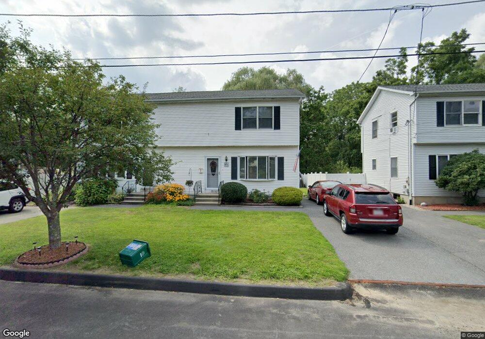
29 Darrow St Worcester, MA 01606
Burncoat NeighborhoodEstimated Value: $384,229 - $391,000
2
Beds
2
Baths
1,200
Sq Ft
$323/Sq Ft
Est. Value
About This Home
This home is located at 29 Darrow St, Worcester, MA 01606 and is currently estimated at $388,057, approximately $323 per square foot. 29 Darrow St is a home located in Worcester County with nearby schools including Norrback Avenue Elementary School, Jacob Hiatt Magnet School, and Chandler Magnet.
Ownership History
Date
Name
Owned For
Owner Type
Purchase Details
Closed on
Jul 8, 2025
Sold by
Lincoln Marybeth
Bought by
Marybeth Lincoln Ft and Mclane
Current Estimated Value
Purchase Details
Closed on
Sep 16, 1992
Sold by
Porcaro Donald I and Porcaro Teresa
Bought by
Lincoln Marybeth
Home Financials for this Owner
Home Financials are based on the most recent Mortgage that was taken out on this home.
Original Mortgage
$71,250
Interest Rate
8.04%
Mortgage Type
Purchase Money Mortgage
Purchase Details
Closed on
Jun 26, 1989
Sold by
Porcaro Arthur
Bought by
Porcaro Donald
Home Financials for this Owner
Home Financials are based on the most recent Mortgage that was taken out on this home.
Original Mortgage
$90,000
Interest Rate
10.84%
Mortgage Type
Purchase Money Mortgage
Create a Home Valuation Report for This Property
The Home Valuation Report is an in-depth analysis detailing your home's value as well as a comparison with similar homes in the area
Home Values in the Area
Average Home Value in this Area
Purchase History
| Date | Buyer | Sale Price | Title Company |
|---|---|---|---|
| Marybeth Lincoln Ft | -- | -- | |
| Marybeth Lincoln Ft | -- | -- | |
| Lincoln Marybeth | $75,000 | -- | |
| Lincoln Marybeth | $75,000 | -- | |
| Porcaro Donald | $80,000 | -- | |
| Porcaro Donald | $80,000 | -- |
Source: Public Records
Mortgage History
| Date | Status | Borrower | Loan Amount |
|---|---|---|---|
| Previous Owner | Porcaro Donald | $63,000 | |
| Previous Owner | Porcaro Donald | $71,250 | |
| Previous Owner | Porcaro Donald | $90,000 |
Source: Public Records
Tax History Compared to Growth
Tax History
| Year | Tax Paid | Tax Assessment Tax Assessment Total Assessment is a certain percentage of the fair market value that is determined by local assessors to be the total taxable value of land and additions on the property. | Land | Improvement |
|---|---|---|---|---|
| 2025 | $3,965 | $300,600 | $84,300 | $216,300 |
| 2024 | $3,776 | $274,600 | $84,300 | $190,300 |
| 2023 | $3,578 | $249,500 | $73,300 | $176,200 |
| 2022 | $3,241 | $213,100 | $58,700 | $154,400 |
| 2021 | $3,039 | $186,700 | $46,900 | $139,800 |
| 2020 | $2,975 | $175,000 | $46,900 | $128,100 |
| 2019 | $2,860 | $158,900 | $42,200 | $116,700 |
| 2018 | $2,869 | $151,700 | $42,200 | $109,500 |
| 2017 | $2,702 | $140,600 | $42,200 | $98,400 |
| 2016 | $2,644 | $128,300 | $32,000 | $96,300 |
| 2015 | $2,575 | $128,300 | $32,000 | $96,300 |
| 2014 | $2,507 | $128,300 | $32,000 | $96,300 |
Source: Public Records
Map
Nearby Homes
- 1110 W Boylston St Unit A
- 10 Beale St
- 15 Cumberland St
- 33 Isleboro St
- 740 Burncoat St Unit B
- 12 Birchbrush Ln
- 48 Whispering Pine Cir Unit 48
- 32 Whispering Pine Cir Unit 32
- 31 Danielles Way
- 22 Danielles Way
- 26 Danielles Way
- 71 Hillside Village Dr
- 156 Hillside Village Dr
- 87 Malden St
- 7 Alpine Dr
- 49 E Mountain St
- 1 Highland Ave
- 38 Juniper Ln
- 35 Arbutus Rd
- 21 Wyoming Dr
- 31 Darrow St
- 33 Darrow St
- 25 Darrow St
- 35 Darrow St
- 35 Darrow St Unit 35
- 1098 W Boylston St
- 1098 W Boylston St Unit 1098
- 48 Darrow St
- 52 Darrow St
- 53 Darrow St
- 19 Darrow St
- 50 Darrow St
- 31 Apthorp St
- 39 Apthorp St
- 56 Darrow St
- 55 Darrow St
- 41 Apthorp St
- 49 Eustis St Unit B
- 47 Eustis St
- 28 Apthorp St