Estimated Value: $515,000 - $577,000
3
Beds
2
Baths
1,672
Sq Ft
$330/Sq Ft
Est. Value
About This Home
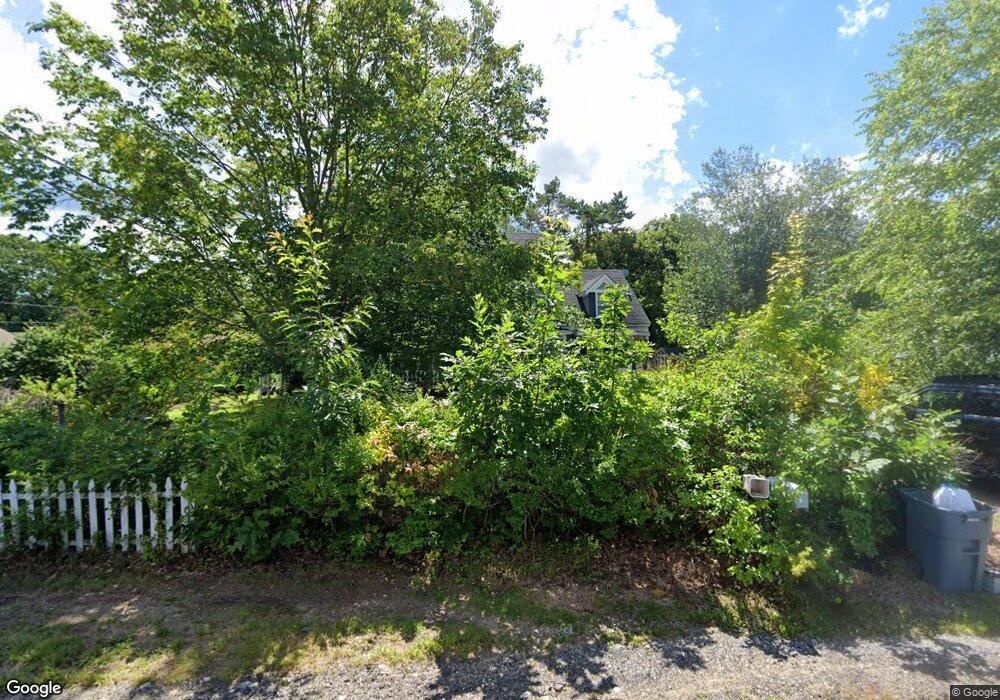
This home is located at 29 Davis St, Wells, ME 04090 and is currently estimated at $552,082, approximately $330 per square foot. 29 Davis St is a home located in York County with nearby schools including Wells Junior High School, Wells Elementary School, and Wells High School.
Ownership History
Date
Name
Owned For
Owner Type
Purchase Details
Closed on
Aug 18, 2008
Sold by
Baker Elizabeth E
Bought by
Lepine Brian R and Prokos Donna M
Current Estimated Value
Home Financials for this Owner
Home Financials are based on the most recent Mortgage that was taken out on this home.
Original Mortgage
$198,000
Outstanding Balance
$127,654
Interest Rate
6.4%
Mortgage Type
Purchase Money Mortgage
Estimated Equity
$424,428
Create a Home Valuation Report for This Property
The Home Valuation Report is an in-depth analysis detailing your home's value as well as a comparison with similar homes in the area
Home Values in the Area
Average Home Value in this Area
Purchase History
We collect this data history from publicly available records. To have your information removed, we recommend requesting removal directly through your county’s website.
| Date | Buyer | Sale Price | Title Company |
|---|---|---|---|
| Lepine Brian R | -- | -- | |
| Lepine Brian R | -- | -- |
Source: Public Records
Mortgage History
We collect this data history from publicly available records. To have your information removed, we recommend requesting removal directly through your county’s website.
| Date | Status | Borrower | Loan Amount |
|---|---|---|---|
| Open | Lepine Brian R | $198,000 | |
| Closed | Lepine Brian R | $198,000 |
Source: Public Records
Tax History
| Year | Tax Paid | Tax Assessment Tax Assessment Total Assessment is a certain percentage of the fair market value that is determined by local assessors to be the total taxable value of land and additions on the property. | Land | Improvement |
|---|---|---|---|---|
| 2025 | $3,304 | $511,520 | $248,750 | $262,770 |
| 2024 | $3,110 | $511,520 | $248,750 | $262,770 |
| 2023 | $3,049 | $511,520 | $248,750 | $262,770 |
| 2022 | $2,804 | $268,070 | $100,500 | $167,570 |
| 2021 | $2,813 | $267,420 | $100,500 | $166,920 |
| 2020 | $2,803 | $267,420 | $100,500 | $166,920 |
| 2019 | $2,787 | $267,420 | $100,500 | $166,920 |
| 2018 | $2,760 | $267,420 | $100,500 | $166,920 |
| 2017 | $2,717 | $267,420 | $100,500 | $166,920 |
| 2016 | $2,690 | $267,420 | $100,500 | $166,920 |
| 2015 | $2,661 | $267,420 | $100,500 | $166,920 |
| 2013 | $2,439 | $267,420 | $100,500 | $166,920 |
Source: Public Records
Map
Nearby Homes
- 74 Morison Ave
- 99 Harbor Rd Unit Lot 52
- 99 Harbor Rd Unit Lot 54
- 32 Harbor Rd
- 1627 Post Rd Unit 5
- 20 Ray Mary Ln
- 1413 Post Rd Unit 63
- 1413 Post Rd Unit 7
- 1373 Post Rd Unit 8B
- 1373 Post Rd Unit 10A
- 1373 Post Rd Unit 2C
- 1373 Post Rd Unit 12B
- 1373 Post Rd Unit 8D
- 1351 Post Rd Unit 39
- 1351 Post Rd Unit 49
- 89 Skyline Cir
- 87 Anna Robert Cir
- 68 Poplar Park Dr
- 1762 Post Rd Unit 111
- 1801 Post Rd Unit 128
Your Personal Tour Guide
Ask me questions while you tour the home.