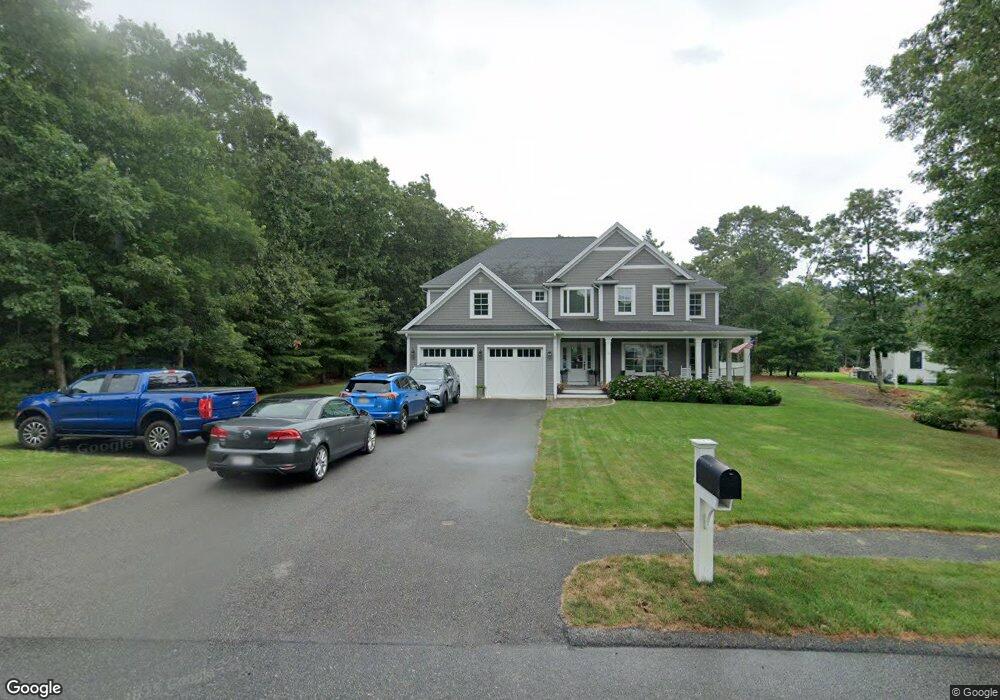
29 Dawson Way East Falmouth, MA 2536
Hatchville NeighborhoodEstimated Value: $1,646,984 - $2,258,000
4
Beds
4
Baths
3,322
Sq Ft
$553/Sq Ft
Est. Value
About This Home
This home is located at 29 Dawson Way, East Falmouth, MA 2536 and is currently estimated at $1,837,246, approximately $553 per square foot. 29 Dawson Way is a home located in Barnstable County with nearby schools including North Falmouth Elementary School, Morse Pond School, and Lawrence School.
Ownership History
Date
Name
Owned For
Owner Type
Purchase Details
Closed on
Mar 24, 2016
Sold by
Rubis John M and Rubis Michel L
Bought by
Rubis John M and Rubis Michele L
Current Estimated Value
Home Financials for this Owner
Home Financials are based on the most recent Mortgage that was taken out on this home.
Original Mortgage
$570,000
Outstanding Balance
$451,152
Interest Rate
3.65%
Mortgage Type
Purchase Money Mortgage
Estimated Equity
$1,386,094
Purchase Details
Closed on
Jun 29, 2015
Sold by
Ccb Irt and Botelho
Bought by
Rubis John M
Create a Home Valuation Report for This Property
The Home Valuation Report is an in-depth analysis detailing your home's value as well as a comparison with similar homes in the area
Home Values in the Area
Average Home Value in this Area
Purchase History
| Date | Buyer | Sale Price | Title Company |
|---|---|---|---|
| Rubis John M | -- | -- | |
| Rubis John M | $215,000 | -- |
Source: Public Records
Mortgage History
| Date | Status | Borrower | Loan Amount |
|---|---|---|---|
| Open | Rubis John M | $570,000 | |
| Closed | Rubis John M | $0 |
Source: Public Records
Tax History Compared to Growth
Tax History
| Year | Tax Paid | Tax Assessment Tax Assessment Total Assessment is a certain percentage of the fair market value that is determined by local assessors to be the total taxable value of land and additions on the property. | Land | Improvement |
|---|---|---|---|---|
| 2025 | $9,165 | $1,561,300 | $335,900 | $1,225,400 |
| 2024 | $8,855 | $1,410,100 | $299,900 | $1,110,200 |
| 2023 | $8,097 | $1,170,100 | $239,900 | $930,200 |
| 2022 | $7,932 | $985,300 | $208,300 | $777,000 |
| 2021 | $7,459 | $877,500 | $199,300 | $678,200 |
| 2020 | $7,273 | $846,700 | $181,200 | $665,500 |
| 2019 | $7,079 | $827,000 | $181,200 | $645,800 |
| 2018 | $6,859 | $797,600 | $181,200 | $616,400 |
| 2017 | $3,764 | $441,300 | $181,200 | $260,100 |
| 2016 | $1,517 | $181,200 | $181,200 | $0 |
| 2015 | $1,484 | $181,200 | $181,200 | $0 |
| 2014 | $1,523 | $186,900 | $186,900 | $0 |
Source: Public Records
Map
Nearby Homes
- 35 Dawson Way
- 24 Dawson Way
- 9 Coonamessett Cir
- Lot 204 Dawson Way
- 0 Dawson Way
- 20 Coonamessett Cir
- 26 Coonamessett Cir
- 12 Coonamessett Cir
- 38 Dawson Way
- 34 Dawson Way
- 39 Lochstead Dr
- 30 Coonamessett Cir
- 35 Lochstead Dr
- 10 Dawson Way
- 35 Lochstead Dr
- 5 Dawson Way
- 3 Coonamessett Hills Rd
- 0 Coonamessett Cir
- 29 Lochstead Dr
- 6 Dawson Way