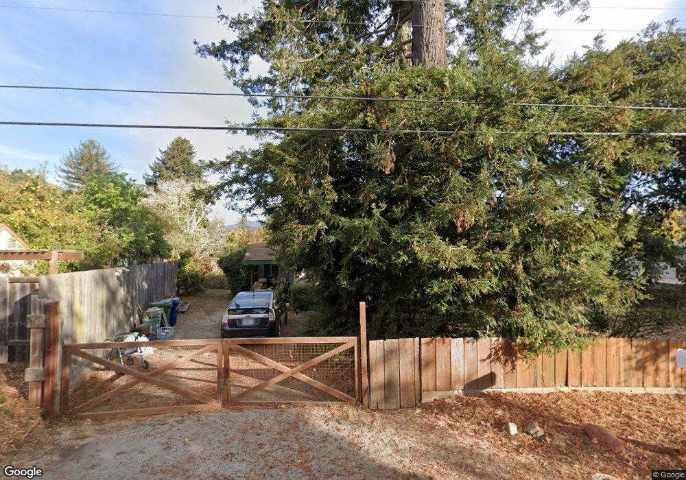
29 E Phillips Rd Watsonville, CA 95076
Estimated Value: $637,337 - $955,000
1
Bed
1
Bath
834
Sq Ft
$980/Sq Ft
Est. Value
About This Home
This home is located at 29 E Phillips Rd, Watsonville, CA 95076 and is currently estimated at $817,584, approximately $980 per square foot. 29 E Phillips Rd is a home located in Santa Cruz County with nearby schools including Bradley Elementary School, Aptos Junior High School, and Aptos High School.
Ownership History
Date
Name
Owned For
Owner Type
Purchase Details
Closed on
May 30, 2018
Sold by
Bailey Adrienne and Bailey Michael
Bought by
Bailey Michael A and Bailey Adrienne A
Current Estimated Value
Purchase Details
Closed on
Jun 12, 2001
Sold by
Bailey Michael A
Bought by
Bailey Michael and Bailey Adrienne
Home Financials for this Owner
Home Financials are based on the most recent Mortgage that was taken out on this home.
Original Mortgage
$160,000
Interest Rate
7.15%
Create a Home Valuation Report for This Property
The Home Valuation Report is an in-depth analysis detailing your home's value as well as a comparison with similar homes in the area
Home Values in the Area
Average Home Value in this Area
Purchase History
| Date | Buyer | Sale Price | Title Company |
|---|---|---|---|
| Bailey Michael A | -- | None Available | |
| Bailey Michael | -- | Santa Cruz Title Company |
Source: Public Records
Mortgage History
| Date | Status | Borrower | Loan Amount |
|---|---|---|---|
| Previous Owner | Bailey Michael | $160,000 |
Source: Public Records
Tax History
| Year | Tax Paid | Tax Assessment Tax Assessment Total Assessment is a certain percentage of the fair market value that is determined by local assessors to be the total taxable value of land and additions on the property. | Land | Improvement |
|---|---|---|---|---|
| 2025 | $3,370 | $275,979 | $202,384 | $73,595 |
| 2023 | $3,308 | $265,262 | $194,525 | $70,737 |
| 2022 | $3,240 | $260,061 | $190,711 | $69,350 |
| 2021 | $3,054 | $254,961 | $186,971 | $67,990 |
| 2020 | $3,012 | $252,347 | $185,054 | $67,293 |
| 2019 | $2,962 | $247,399 | $181,425 | $65,974 |
| 2018 | $2,891 | $242,548 | $177,868 | $64,680 |
| 2017 | $2,868 | $237,792 | $174,381 | $63,411 |
| 2016 | $2,797 | $233,130 | $170,962 | $62,168 |
| 2015 | $2,739 | $229,628 | $168,394 | $61,234 |
| 2014 | $2,683 | $225,130 | $165,095 | $60,035 |
Source: Public Records
Map
Nearby Homes
- 18 Linden Rd
- 0 Varni Rd
- 389 Corralitos Rd
- 371 Calabasas Rd
- 145 Bencich Ln
- 136 Lester Ct
- 16 Browns Valley Rd
- 0 Sans Rd
- 270 Hames Rd Unit 55
- 344 Hames Rd
- 14 Orange Blossom Way
- 49 Blanca Ln Unit 523
- 1044 Pleasant Valley Rd
- 501 S Green Valley Rd Unit 89
- 28 Kadderly Ln
- 195 Bjur Dr
- 117 Skyline Vista Way
- 52 Winding Way
- 420 Yellowbrick Rd
- 144 Holm Rd Unit 55
Your Personal Tour Guide
Ask me questions while you tour the home.