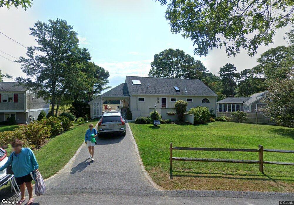
29 Emerson Way Centerville, MA 02632
Centerville NeighborhoodEstimated Value: $582,000 - $743,000
3
Beds
2
Baths
1,801
Sq Ft
$365/Sq Ft
Est. Value
About This Home
This home is located at 29 Emerson Way, Centerville, MA 02632 and is currently estimated at $657,495, approximately $365 per square foot. 29 Emerson Way is a home located in Barnstable County with nearby schools including Centerville Elementary School, Barnstable United Elementary School, and Barnstable Intermediate School.
Ownership History
Date
Name
Owned For
Owner Type
Purchase Details
Closed on
Sep 1, 2021
Sold by
Paris Hildegarde and Goode Andrea M
Bought by
Hildegrade B E Paris Ret
Current Estimated Value
Purchase Details
Closed on
Nov 4, 1996
Sold by
Sunderman Herbert J and Sunderman Drusilla A
Bought by
Paris Hildegarde
Home Financials for this Owner
Home Financials are based on the most recent Mortgage that was taken out on this home.
Original Mortgage
$117,000
Interest Rate
8.07%
Mortgage Type
Purchase Money Mortgage
Create a Home Valuation Report for This Property
The Home Valuation Report is an in-depth analysis detailing your home's value as well as a comparison with similar homes in the area
Home Values in the Area
Average Home Value in this Area
Purchase History
| Date | Buyer | Sale Price | Title Company |
|---|---|---|---|
| Hildegrade B E Paris Ret | -- | None Available | |
| Paris Hildegarde | $156,000 | -- |
Source: Public Records
Mortgage History
| Date | Status | Borrower | Loan Amount |
|---|---|---|---|
| Previous Owner | Paris Hildegarde | $117,000 |
Source: Public Records
Tax History Compared to Growth
Tax History
| Year | Tax Paid | Tax Assessment Tax Assessment Total Assessment is a certain percentage of the fair market value that is determined by local assessors to be the total taxable value of land and additions on the property. | Land | Improvement |
|---|---|---|---|---|
| 2025 | $4,616 | $570,600 | $171,700 | $398,900 |
| 2024 | $4,556 | $583,400 | $171,700 | $411,700 |
| 2023 | $4,131 | $495,300 | $169,700 | $325,600 |
| 2022 | $4,076 | $422,800 | $120,600 | $302,200 |
| 2021 | $4,056 | $386,700 | $120,600 | $266,100 |
| 2020 | $4,017 | $366,500 | $120,600 | $245,900 |
| 2019 | $3,711 | $329,000 | $120,600 | $208,400 |
| 2018 | $3,943 | $351,400 | $132,300 | $219,100 |
| 2017 | $3,712 | $345,000 | $132,300 | $212,700 |
| 2016 | $3,769 | $345,800 | $133,100 | $212,700 |
| 2015 | $3,646 | $336,000 | $128,000 | $208,000 |
Source: Public Records
Map
Nearby Homes
- 53 Meadow Farm Rd
- 52 Meadow Farm Rd
- 149 Old Stage Rd
- 16 Bridgets Path
- 156 S Main St
- 81 Monomoy Cir
- 40 Sachem Dr
- 205 James Otis Rd
- 627 S Main St
- 627 S Main St
- 50 Pheasant Way Unit A&B
- 50 Pheasant Way
- 296 Buckskin Path
- 21 Shannon Way
- 818 S Main St
- 290 Riverview Ln
- 315 Prince Hinckley Rd
- 30 Deerfield Rd
- 498 Elliott Rd
- 25 Sturbridge Dr
- 52 Longfellow Dr
- 39 Emerson Way
- 76 Longfellow Dr
- 0 Longfellow Dr
- 42 Longfellow Dr
- 57 Longfellow Dr
- 51 Emerson Way
- 16 Emerson Way
- 88 Longfellow Dr
- 47 Longfellow Dr
- 79 Longfellow Dr
- 32 Longfellow Dr
- 54 Emerson Way
- 61 Emerson Way
- 66 Fuller Rd
- 35 Longfellow Dr
- 42 Fuller Rd
- 91 Longfellow Dr
- 78 Fuller Rd
- 98 Longfellow Dr