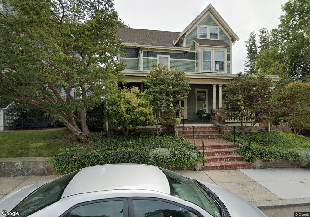
29 Fairview St Roslindale, MA 02131
Roslindale NeighborhoodEstimated Value: $1,091,000 - $1,508,648
5
Beds
3
Baths
4,170
Sq Ft
$303/Sq Ft
Est. Value
About This Home
This home is located at 29 Fairview St, Roslindale, MA 02131 and is currently estimated at $1,264,412, approximately $303 per square foot. 29 Fairview St is a home located in Suffolk County with nearby schools including Brooke Charter School Roslindale, Holy Name Parish School, and Sacred Heart STEM School.
Ownership History
Date
Name
Owned For
Owner Type
Purchase Details
Closed on
Apr 18, 2024
Sold by
Kenyon David S and Baley Jone
Bought by
Kenyon Baley Ft and Kenyon
Current Estimated Value
Purchase Details
Closed on
Oct 6, 1994
Sold by
Dawood Emile and Dawood Helen E
Bought by
Kenyon David S and Baley Jone
Create a Home Valuation Report for This Property
The Home Valuation Report is an in-depth analysis detailing your home's value as well as a comparison with similar homes in the area
Home Values in the Area
Average Home Value in this Area
Purchase History
| Date | Buyer | Sale Price | Title Company |
|---|---|---|---|
| Kenyon Baley Ft | -- | None Available | |
| Kenyon Baley Ft | -- | None Available | |
| Kenyon David S | $157,500 | -- | |
| Kenyon David S | $157,500 | -- |
Source: Public Records
Mortgage History
| Date | Status | Borrower | Loan Amount |
|---|---|---|---|
| Previous Owner | Kenyon David S | $250,000 | |
| Previous Owner | Kenyon David S | $126,000 | |
| Previous Owner | Kenyon David S | $131,900 |
Source: Public Records
Tax History Compared to Growth
Tax History
| Year | Tax Paid | Tax Assessment Tax Assessment Total Assessment is a certain percentage of the fair market value that is determined by local assessors to be the total taxable value of land and additions on the property. | Land | Improvement |
|---|---|---|---|---|
| 2025 | $14,729 | $1,271,900 | $507,900 | $764,000 |
| 2024 | $12,926 | $1,185,900 | $423,000 | $762,900 |
| 2023 | $12,737 | $1,185,900 | $423,000 | $762,900 |
| 2022 | $11,832 | $1,087,500 | $387,900 | $699,600 |
| 2021 | $11,050 | $1,035,600 | $369,400 | $666,200 |
| 2020 | $10,318 | $977,100 | $327,000 | $650,100 |
| 2019 | $10,108 | $959,000 | $294,300 | $664,700 |
| 2018 | $9,393 | $896,300 | $294,300 | $602,000 |
| 2017 | $9,216 | $870,300 | $294,300 | $576,000 |
| 2016 | $9,043 | $822,100 | $294,300 | $527,800 |
| 2015 | $8,714 | $719,600 | $231,500 | $488,100 |
| 2014 | $7,753 | $616,300 | $231,500 | $384,800 |
Source: Public Records
Map
Nearby Homes
- 15 S Fairview St Unit 3
- 79 Robert St Unit 3
- 620 South St
- 2 Weld Hill St Unit PH2
- 65 Birch St Unit 3
- 108 Florence St Unit 3
- 108 Florence St Unit 1
- 108 Florence St Unit 4
- 4031 Washington St
- 103 Belgrade Ave Unit 2
- 87 Knoll St
- 67 Cummins Hwy Unit 101
- 4012 Washington St
- 24 Hazelmere Rd
- 19 Delford St
- 19 Delford St Unit 1
- 80 Roslindale Ave Unit 3
- 17 Metcalf St
- 187 Florence St Unit 2L
- 173 Brookway Rd
- 29 Fairview St Unit 3
- 31 Fairview St
- 33 Fairview St
- 25 Fairview St
- 6 Arborough Rd
- 6 Arborough Rd Unit 1
- 32-34 Fairview St
- 31 Conway St Unit 2
- 31 Conway St
- 31 Conway St Unit 1
- 10 Arborough Rd
- 10 Arborough Rd Unit 10
- 10 Arborough Rd
- 10 Arborough Rd Unit 1
- 32 Fairview St Unit 34
- 2 Primrose St
- 37 Fairview St
- 30 Fairview St
- 29 Conway St Unit 1
- 29 Conway St Unit 3