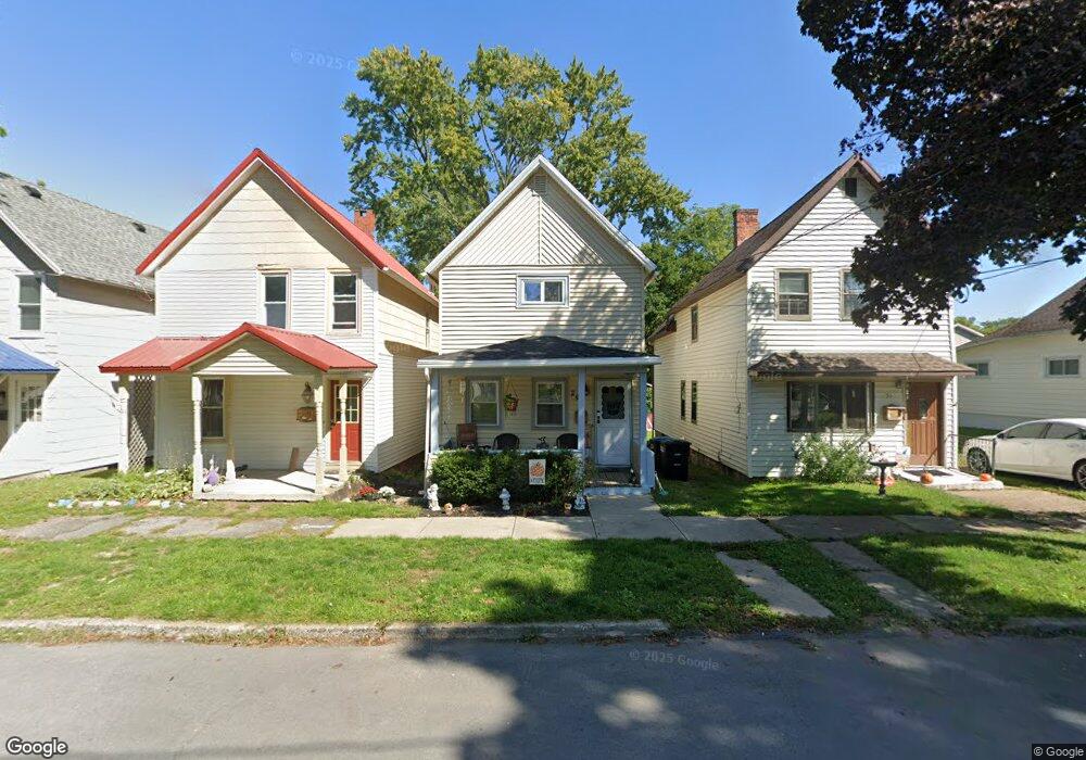
29 Grove St Geneva, NY 14456
Estimated Value: $124,000 - $135,000
3
Beds
2
Baths
1,206
Sq Ft
$108/Sq Ft
Est. Value
About This Home
This home is located at 29 Grove St, Geneva, NY 14456 and is currently estimated at $130,418, approximately $108 per square foot. 29 Grove St is a home located in Ontario County with nearby schools including West Street Elementary School, North Street Elementary School, and Geneva Middle School.
Ownership History
Date
Name
Owned For
Owner Type
Purchase Details
Closed on
Oct 28, 2021
Sold by
Ferris Karen
Bought by
Sexton Taylor
Current Estimated Value
Purchase Details
Closed on
Nov 3, 2015
Sold by
Ferris Leda
Bought by
Ferris David and Ferris Ferris
Purchase Details
Closed on
Oct 1, 2008
Sold by
Black Michael
Bought by
Ferris Leda
Home Financials for this Owner
Home Financials are based on the most recent Mortgage that was taken out on this home.
Original Mortgage
$45,583
Interest Rate
6.54%
Create a Home Valuation Report for This Property
The Home Valuation Report is an in-depth analysis detailing your home's value as well as a comparison with similar homes in the area
Home Values in the Area
Average Home Value in this Area
Purchase History
| Date | Buyer | Sale Price | Title Company |
|---|---|---|---|
| Sexton Taylor | -- | None Available | |
| Ferris Karen | -- | None Available | |
| Ferris David | -- | Mark A. Venuti | |
| Ferris Leda | $49,900 | Bradley Prozeller |
Source: Public Records
Mortgage History
| Date | Status | Borrower | Loan Amount |
|---|---|---|---|
| Previous Owner | Ferris Leda | $45,583 |
Source: Public Records
Tax History Compared to Growth
Tax History
| Year | Tax Paid | Tax Assessment Tax Assessment Total Assessment is a certain percentage of the fair market value that is determined by local assessors to be the total taxable value of land and additions on the property. | Land | Improvement |
|---|---|---|---|---|
| 2024 | $3,206 | $105,900 | $3,600 | $102,300 |
| 2023 | $2,309 | $59,000 | $3,600 | $55,400 |
| 2022 | $2,178 | $59,000 | $3,600 | $55,400 |
| 2021 | $2,136 | $59,000 | $3,600 | $55,400 |
| 2020 | $1,239 | $59,000 | $3,600 | $55,400 |
| 2019 | $0 | $53,000 | $2,800 | $50,200 |
| 2018 | $1,205 | $53,000 | $2,800 | $50,200 |
| 2017 | $0 | $53,000 | $2,800 | $50,200 |
| 2016 | $1,154 | $53,000 | $2,800 | $50,200 |
| 2015 | -- | $49,900 | $2,800 | $47,100 |
| 2014 | -- | $49,900 | $2,800 | $47,100 |
Source: Public Records
Map
Nearby Homes