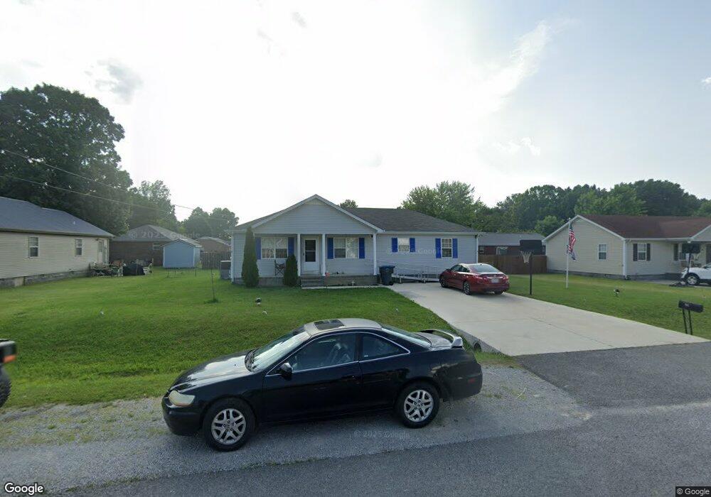
29 Hawthorne Dr Manchester, TN 37355
Estimated Value: $216,147 - $243,000
--
Bed
2
Baths
1,248
Sq Ft
$188/Sq Ft
Est. Value
About This Home
This home is located at 29 Hawthorne Dr, Manchester, TN 37355 and is currently estimated at $234,787, approximately $188 per square foot. 29 Hawthorne Dr is a home located in Coffee County with nearby schools including Westwood Middle School and Temple Baptist Christian School.
Ownership History
Date
Name
Owned For
Owner Type
Purchase Details
Closed on
May 21, 2024
Sold by
Smith Ricky L
Bought by
Smith Ricky L and Smith Lavonda G
Current Estimated Value
Home Financials for this Owner
Home Financials are based on the most recent Mortgage that was taken out on this home.
Original Mortgage
$128,205
Outstanding Balance
$126,368
Interest Rate
7.1%
Mortgage Type
FHA
Estimated Equity
$108,419
Purchase Details
Closed on
Sep 5, 2006
Sold by
Barr Cheree
Bought by
Smith Ricky L
Home Financials for this Owner
Home Financials are based on the most recent Mortgage that was taken out on this home.
Original Mortgage
$85,163
Interest Rate
6.58%
Purchase Details
Closed on
Aug 31, 2006
Sold by
Barr Cheree
Bought by
Smith Ricky L
Home Financials for this Owner
Home Financials are based on the most recent Mortgage that was taken out on this home.
Original Mortgage
$85,163
Interest Rate
6.58%
Create a Home Valuation Report for This Property
The Home Valuation Report is an in-depth analysis detailing your home's value as well as a comparison with similar homes in the area
Home Values in the Area
Average Home Value in this Area
Purchase History
| Date | Buyer | Sale Price | Title Company |
|---|---|---|---|
| Smith Ricky L | -- | None Listed On Document | |
| Smith Ricky L | $86,500 | -- | |
| Smith Ricky L | $86,500 | -- |
Source: Public Records
Mortgage History
| Date | Status | Borrower | Loan Amount |
|---|---|---|---|
| Open | Smith Ricky L | $128,205 | |
| Previous Owner | Smith Ricky L | $85,163 |
Source: Public Records
Tax History Compared to Growth
Tax History
| Year | Tax Paid | Tax Assessment Tax Assessment Total Assessment is a certain percentage of the fair market value that is determined by local assessors to be the total taxable value of land and additions on the property. | Land | Improvement |
|---|---|---|---|---|
| 2024 | $1,442 | $34,200 | $5,500 | $28,700 |
| 2023 | $1,442 | $34,200 | $0 | $0 |
| 2022 | $1,242 | $34,200 | $5,500 | $28,700 |
| 2021 | $1,143 | $24,975 | $3,000 | $21,975 |
| 2020 | $1,143 | $24,975 | $3,000 | $21,975 |
| 2019 | $1,143 | $24,975 | $3,000 | $21,975 |
| 2018 | $1,143 | $24,975 | $3,000 | $21,975 |
| 2017 | $1,174 | $22,375 | $3,000 | $19,375 |
| 2016 | $1,174 | $22,375 | $3,000 | $19,375 |
| 2015 | $1,174 | $22,375 | $3,000 | $19,375 |
| 2014 | $1,173 | $22,363 | $0 | $0 |
Source: Public Records
Map
Nearby Homes
- 12 Fox Creek Ct
- 1319 Hills Chapel Rd
- Lot 51 Interstate
- 333 Blanford Cir
- 200 Reynard St
- 1619 Hills Chapel Rd
- 350 Greenbriar Cir
- 874 Doak Rd
- 1221 Hillcrest Dr
- 23 Regalwood Dr
- 195 Hamilton Ct
- 355 W Doak Rd
- 121 Regalwood Dr
- 1212 Woodcrest Dr
- 1841 Hills Chapel Rd
- 113 Creek Wood Rd
- 1610 Summer St
- 802 Lowry St
- 1014 Hills Chapel Rd
- 645 Doak Rd
- 33 Brook Hollow Cir
- 45 Hawthorne Dr
- 1425 Hills Chapel Rd
- 15 Brook Hollow Cir
- 1423 Hills Chapel Rd
- 28 Hawthorne Dr
- 14 Woods Edge Ct
- 65 Brook Hollow Cir
- 1421 Hills Chapel Rd
- 32 Brook Hollow Cir
- 131 Brook Hollow Cir
- 13 Woods Edge Ct
- 60 Brook Hollow Cir
- 16 Brook Hollow Cir
- 411 Brook Hollow Cir
- 30 Woods Edge Ct
- 13 Fox Creek Ct
- 85 Brook Hollow Cir
- 15 Fox Creek Ct