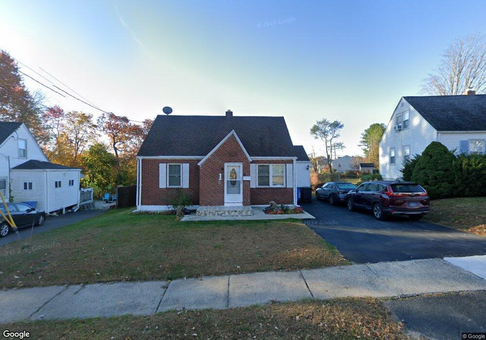
29 Heather Ln New Britain, CT 06053
Estimated Value: $182,000 - $280,000
3
Beds
1
Bath
972
Sq Ft
$258/Sq Ft
Est. Value
About This Home
This home is located at 29 Heather Ln, New Britain, CT 06053 and is currently estimated at $250,676, approximately $257 per square foot. 29 Heather Ln is a home located in Hartford County with nearby schools including Jefferson School, Pulaski Middle School, and St. Francis of Assisi Middle School.
Ownership History
Date
Name
Owned For
Owner Type
Purchase Details
Closed on
Jun 8, 2005
Sold by
Galasyn Theresa
Bought by
Hamzabegovic Mersad and Hamzabegovic Admira
Current Estimated Value
Home Financials for this Owner
Home Financials are based on the most recent Mortgage that was taken out on this home.
Original Mortgage
$96,000
Interest Rate
5.79%
Create a Home Valuation Report for This Property
The Home Valuation Report is an in-depth analysis detailing your home's value as well as a comparison with similar homes in the area
Home Values in the Area
Average Home Value in this Area
Purchase History
| Date | Buyer | Sale Price | Title Company |
|---|---|---|---|
| Hamzabegovic Mersad | $120,000 | -- |
Source: Public Records
Mortgage History
| Date | Status | Borrower | Loan Amount |
|---|---|---|---|
| Open | Hamzabegovic Mersad | $106,000 | |
| Closed | Hamzabegovic Mersad | $107,000 | |
| Closed | Hamzabegovic Mersad | $25,000 | |
| Closed | Hamzabegovic Mersad | $96,000 |
Source: Public Records
Tax History
| Year | Tax Paid | Tax Assessment Tax Assessment Total Assessment is a certain percentage of the fair market value that is determined by local assessors to be the total taxable value of land and additions on the property. | Land | Improvement |
|---|---|---|---|---|
| 2025 | $5,609 | $143,150 | $56,420 | $86,730 |
| 2024 | $5,667 | $143,150 | $56,420 | $86,730 |
| 2023 | $5,480 | $143,150 | $56,420 | $86,730 |
| 2022 | $4,546 | $91,840 | $23,730 | $68,110 |
| 2021 | $4,546 | $91,840 | $23,730 | $68,110 |
| 2020 | $4,638 | $91,840 | $23,730 | $68,110 |
| 2019 | $4,638 | $91,840 | $23,730 | $68,110 |
| 2018 | $4,638 | $91,840 | $23,730 | $68,110 |
| 2017 | $4,210 | $83,370 | $23,730 | $59,640 |
| 2016 | $4,210 | $83,370 | $23,730 | $59,640 |
| 2015 | $4,085 | $83,370 | $23,730 | $59,640 |
| 2014 | $4,085 | $83,370 | $23,730 | $59,640 |
Source: Public Records
Map
Nearby Homes
- 234 Pierremount Ave
- 2415 Corbin Ave
- 24 Pentlow Ave
- 21 Skipper St
- 900 Slater Rd
- 678 Farmington Ave
- 432 Mcclintock St
- 40 Hutchinson St
- 14 Acton St
- 19 Maplehurst Ave
- 4 Brown St
- 527 Burritt St
- 55 Allen St
- 23 Lewis Rd
- 45 Tunxis St
- 482 Commonwealth Ave
- 154 Allen St
- 50 Curtin Ave
- 157 Skinner Dr
- 266 Grove St
Your Personal Tour Guide
Ask me questions while you tour the home.