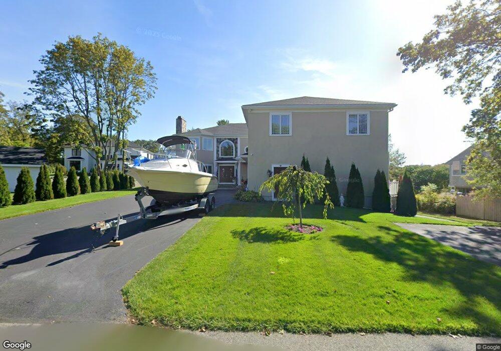
29 High Popples Rd Gloucester, MA 01930
East Gloucester NeighborhoodEstimated Value: $1,395,000 - $2,078,000
6
Beds
4
Baths
4,540
Sq Ft
$380/Sq Ft
Est. Value
About This Home
This home is located at 29 High Popples Rd, Gloucester, MA 01930 and is currently estimated at $1,725,494, approximately $380 per square foot. 29 High Popples Rd is a home with nearby schools including East Gloucester Elementary School, Ralph B O'maley Middle School, and Gloucester High School.
Ownership History
Date
Name
Owned For
Owner Type
Purchase Details
Closed on
Oct 9, 2018
Sold by
Lia Rt
Bought by
Noto Angela M and Dimaio Vincenzo G
Current Estimated Value
Purchase Details
Closed on
May 11, 2000
Sold by
Watters Bill Gene and Watters Edith Estelle
Bought by
Noto Rose
Home Financials for this Owner
Home Financials are based on the most recent Mortgage that was taken out on this home.
Original Mortgage
$325,000
Interest Rate
8.21%
Mortgage Type
Purchase Money Mortgage
Create a Home Valuation Report for This Property
The Home Valuation Report is an in-depth analysis detailing your home's value as well as a comparison with similar homes in the area
Home Values in the Area
Average Home Value in this Area
Purchase History
| Date | Buyer | Sale Price | Title Company |
|---|---|---|---|
| Noto Angela M | -- | -- | |
| Noto Rose | $665,000 | -- |
Source: Public Records
Mortgage History
| Date | Status | Borrower | Loan Amount |
|---|---|---|---|
| Previous Owner | Noto Rose | $325,000 |
Source: Public Records
Tax History Compared to Growth
Tax History
| Year | Tax Paid | Tax Assessment Tax Assessment Total Assessment is a certain percentage of the fair market value that is determined by local assessors to be the total taxable value of land and additions on the property. | Land | Improvement |
|---|---|---|---|---|
| 2025 | $13,997 | $1,440,000 | $295,700 | $1,144,300 |
| 2024 | $13,948 | $1,433,500 | $281,600 | $1,151,900 |
| 2023 | $15,161 | $1,431,600 | $251,300 | $1,180,300 |
| 2022 | $13,699 | $1,167,900 | $213,600 | $954,300 |
| 2021 | $8,055 | $647,500 | $194,300 | $453,200 |
| 2020 | $2,396 | $194,300 | $194,300 | $0 |
| 2019 | $2,466 | $194,300 | $194,300 | $0 |
| 2018 | $2,512 | $194,300 | $194,300 | $0 |
| 2017 | $2,440 | $185,000 | $185,000 | $0 |
| 2016 | $2,526 | $185,600 | $185,600 | $0 |
| 2015 | $2,533 | $185,600 | $185,600 | $0 |
Source: Public Records
Map
Nearby Homes
- 10 Seaview Rd
- 30 Grapevine Rd
- 36 Links Rd
- 4 Hillside Rd
- 20 Calder St
- 62 Eastern Point Rd Unit 3
- 30 Chapel St Unit B
- 7 Hawthorne Ln
- 9 Raven Ln Unit U:B-6
- 197 E Main St
- 197 E Main St Unit 1
- 197 E Main St Unit 2
- 197 E Main St Unit 1 & 2
- 1 Wonson St
- 9 Rocky Pasture Rd
- 73 Rocky Neck Ave Unit 2
- 60 Rocky Neck Ave Unit 202
- 20 Haskell St
- 100 E Main St
- 7 Rackliffe St Unit 1
- 4 Michaels Ln
- 31 High Popples Rd
- 2 Michaels Ln
- 35 High Popples Rd
- 5 Michaels Ln
- 28 High Popples Rd
- 6 Michaels Ln
- 32 High Popples Rd
- 12 Harriett Rd
- 7 Michael's Ln
- 11 Jacques Ln
- 6 Michael's Ln
- 21 High Popples Rd
- 34 High Popples Rd
- 14 Lands End Ln
- 24 High Popples Rd
- 9 Jacques Ln
- 26 High Popples Rd
- 14 Harriett Rd
- 8 Jacques Ln