29 Hunters Ridge Rd Canton, NC 28716
Estimated Value: $559,376 - $830,000
3
Beds
2
Baths
1,518
Sq Ft
$477/Sq Ft
Est. Value
About This Home
This home is located at 29 Hunters Ridge Rd, Canton, NC 28716 and is currently estimated at $724,844, approximately $477 per square foot. 29 Hunters Ridge Rd is a home located in Haywood County with nearby schools including North Canton Elementary School, Canton Middle, and Pisgah High School.
Ownership History
Date
Name
Owned For
Owner Type
Purchase Details
Closed on
Jul 14, 2014
Sold by
Hughes Joseph W and Hughes Karen L
Bought by
Creedon Timothy P and Creedon Kimberly J
Current Estimated Value
Create a Home Valuation Report for This Property
The Home Valuation Report is an in-depth analysis detailing your home's value as well as a comparison with similar homes in the area
Home Values in the Area
Average Home Value in this Area
Purchase History
| Date | Buyer | Sale Price | Title Company |
|---|---|---|---|
| Creedon Timothy P | $285,000 | None Available |
Source: Public Records
Tax History Compared to Growth
Tax History
| Year | Tax Paid | Tax Assessment Tax Assessment Total Assessment is a certain percentage of the fair market value that is determined by local assessors to be the total taxable value of land and additions on the property. | Land | Improvement |
|---|---|---|---|---|
| 2025 | -- | $362,500 | $55,800 | $306,700 |
| 2024 | $2,407 | $362,500 | $55,800 | $306,700 |
| 2023 | $2,407 | $362,500 | $55,800 | $306,700 |
| 2022 | $2,352 | $362,500 | $55,800 | $306,700 |
| 2021 | $2,352 | $362,500 | $55,800 | $306,700 |
| 2020 | $2,138 | $302,100 | $63,700 | $238,400 |
| 2019 | $2,143 | $302,100 | $63,700 | $238,400 |
| 2018 | $2,143 | $302,100 | $63,700 | $238,400 |
| 2017 | $2,143 | $302,100 | $0 | $0 |
| 2016 | $1,922 | $276,300 | $0 | $0 |
| 2015 | $1,894 | $276,300 | $0 | $0 |
| 2014 | $1,753 | $276,300 | $0 | $0 |
Source: Public Records
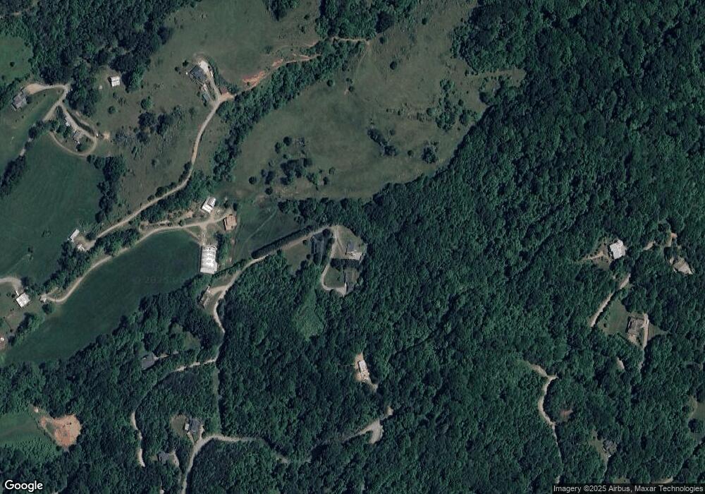
Map
Nearby Homes
- 132 Hurd Rd
- 432 Raccoon Pointe
- 603 Willis Cove Rd
- 126 Sweetwater Dr
- 40 Sunset Heights
- 400 Sunset Heights
- 60 Porters Ridge Unit 2
- 672 Porters Ridge
- 1851 Newfound Rd
- 00 Wilson Cove Rd
- Lot 26 Lake Dr
- 492 Scruggs Cir
- 87 Jerome Ln
- 00 Carver Cove Rd
- 283 Blake Dr
- 303 Johnson Farm Rd
- 359 Vision Rd
- 106 Trellis Dr
- 324 Blake Dr
- 508 Blake Dr Unit 18 & 19
- LOT 42 Hunters Ridge Rd
- 1324 Worley Cove Rd
- 40 Cat Haven Rd
- 000 Worley Cove Rd Unit 49-55
- 00 Worley Cove Rd Unit Lot 3
- 00 Worley Cove Rd Unit Lot 2
- 000 Worley Cove Rd Unit 1
- 132 Worley Cove Rd
- 1399 Worley Cove Rd
- 1244 Worley Cove Rd
- 75 Hunters Ridge Rd
- 91 Cat Haven Rd
- 1285 Worley Cove Rd
- 55 Rosehill Ln
- 10 Rosehill Ln Unit 10
- 1241 Worley Cove Rd
- 192 Hunters Ridge Rd
- 00 Hunters Ridge Rd
- 00 Hunters Ridge Rd Unit 65
- 51 Hunters Ridge Rd