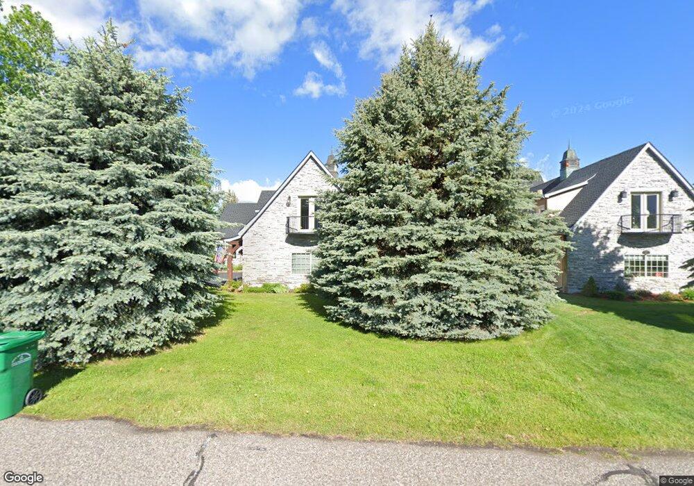
29 Kean Dr Unit 1B Bozeman, MT 59718
North Bozeman NeighborhoodEstimated Value: $2,235,063
3
Beds
3
Baths
3,404
Sq Ft
$657/Sq Ft
Est. Value
About This Home
This home is located at 29 Kean Dr Unit 1B, Bozeman, MT 59718 and is currently estimated at $2,235,063, approximately $656 per square foot. 29 Kean Dr Unit 1B is a home located in Gallatin County with nearby schools including Hawthorne Elementary School, Chief Joseph Middle School, and Bozeman High School.
Ownership History
Date
Name
Owned For
Owner Type
Purchase Details
Closed on
Apr 14, 2023
Sold by
Sarah Hall Intervivos Trust
Bought by
Hall Sarah and Thompson Theodore A
Current Estimated Value
Purchase Details
Closed on
Jul 6, 2009
Sold by
Bredvik Lesley A
Bought by
Yinger Michael A
Home Financials for this Owner
Home Financials are based on the most recent Mortgage that was taken out on this home.
Original Mortgage
$417,000
Interest Rate
4.87%
Mortgage Type
Purchase Money Mortgage
Purchase Details
Closed on
Dec 16, 2005
Sold by
Perell John and Perell Elizabeth
Bought by
Bredvik Lesley A and Yinger Michael A
Home Financials for this Owner
Home Financials are based on the most recent Mortgage that was taken out on this home.
Original Mortgage
$485,600
Interest Rate
6.37%
Mortgage Type
Fannie Mae Freddie Mac
Create a Home Valuation Report for This Property
The Home Valuation Report is an in-depth analysis detailing your home's value as well as a comparison with similar homes in the area
Home Values in the Area
Average Home Value in this Area
Purchase History
| Date | Buyer | Sale Price | Title Company |
|---|---|---|---|
| Hall Sarah | -- | None Listed On Document | |
| Yinger Michael A | -- | Insured Titles | |
| Bredvik Lesley A | -- | Security Title Company |
Source: Public Records
Mortgage History
| Date | Status | Borrower | Loan Amount |
|---|---|---|---|
| Previous Owner | Yinger Michael A | $417,000 | |
| Previous Owner | Bredvik Lesley A | $485,600 |
Source: Public Records
Tax History Compared to Growth
Tax History
| Year | Tax Paid | Tax Assessment Tax Assessment Total Assessment is a certain percentage of the fair market value that is determined by local assessors to be the total taxable value of land and additions on the property. | Land | Improvement |
|---|---|---|---|---|
| 2025 | $16,283 | $2,274,010 | $0 | $0 |
| 2024 | $15,153 | $2,162,306 | $0 | $0 |
| 2023 | $14,645 | $2,162,306 | $0 | $0 |
| 2022 | $9,427 | $1,229,351 | $0 | $0 |
| 2021 | $10,402 | $1,229,351 | $0 | $0 |
| 2020 | $8,929 | $1,046,230 | $0 | $0 |
| 2019 | $9,133 | $1,046,230 | $0 | $0 |
| 2018 | $8,765 | $930,457 | $0 | $0 |
| 2017 | $8,193 | $930,457 | $0 | $0 |
| 2016 | $5,494 | $582,710 | $0 | $0 |
| 2015 | $5,500 | $582,710 | $0 | $0 |
| 2014 | $10,203 | $636,758 | $0 | $0 |
Source: Public Records
Map
Nearby Homes
- 333 Churn Creek Dr
- 3 Gallatin Dr Unit C
- 1 Riverside Dr
- 3349 N 27th Ave Unit 24
- 3321 N 27th Ave Unit 2
- 2763 Catalyst St
- 809 Cape Ave
- 3354 Warbler Way Unit B
- 3210 Warbler Way Unit 8
- 2757 Marlyn Ct Unit 1
- 3123 Warbler Way Unit s A-D
- 60 McGoo Way
- Lots 14A & 15A Cattail St
- Lot 2 Cos 3038 Springhill Rd
- 3139 Blackbird Dr
- 2963 Warbler Way Unit 4
- 2963 Warbler Way Unit 2
- TBD Royal Wolf Way
- TBD Prince Ln
- 2948 Warbler Way Unit C
- 11 Kean Dr
- 11 Kean Dr Unit 1A
- TBD Kean Dr
- 32 Kean Dr
- 32 Kean Dr
- 100 Kean Dr
- Lot 1, Block 2 Campbell Rd
- 69 Gibson Dr
- 30 Venture Way
- 77264 Gallatin Dr Unit D
- 77264 Gallatin Dr Unit C & D
- 48050 Gallatin Dr
- 54295 Gallatin Dr
- 2250 Gallatin Dr
- 44830 Gallatin Dr
- 50000 Gallatin Dr
- 47520 Gallatin Dr
- 2146 Gallatin Dr Unit 6
- 37380 Gallatin Dr
- 2236 Gallatin Dr Unit A