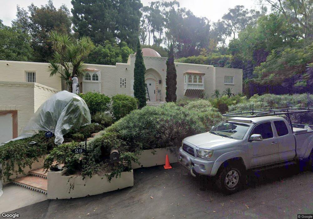
29 Latimer Rd Santa Monica, CA 90402
Estimated Value: $4,570,813 - $4,919,000
3
Beds
3
Baths
2,467
Sq Ft
$1,926/Sq Ft
Est. Value
About This Home
This home is located at 29 Latimer Rd, Santa Monica, CA 90402 and is currently estimated at $4,752,604, approximately $1,926 per square foot. 29 Latimer Rd is a home located in Los Angeles County with nearby schools including Canyon Charter Elementary, Palisades Charter Elementary, and Paul Revere Charter Middle School.
Ownership History
Date
Name
Owned For
Owner Type
Purchase Details
Closed on
Sep 22, 2009
Sold by
Kitchen Elizabeth Frances
Bought by
Kitchen Elizabeth Frances and Elizabeth Frances Kitchen Family Trust
Current Estimated Value
Purchase Details
Closed on
Jan 30, 2006
Sold by
Kitchen Elizabeth Frances and Ekstein Elizabeth Frances
Bought by
Kitchen Elizabeth Frances
Home Financials for this Owner
Home Financials are based on the most recent Mortgage that was taken out on this home.
Original Mortgage
$2,000,000
Interest Rate
6.16%
Mortgage Type
Credit Line Revolving
Create a Home Valuation Report for This Property
The Home Valuation Report is an in-depth analysis detailing your home's value as well as a comparison with similar homes in the area
Home Values in the Area
Average Home Value in this Area
Purchase History
| Date | Buyer | Sale Price | Title Company |
|---|---|---|---|
| Kitchen Elizabeth Frances | -- | None Available | |
| Kitchen Elizabeth Frances | -- | Fidelity National Financial |
Source: Public Records
Mortgage History
| Date | Status | Borrower | Loan Amount |
|---|---|---|---|
| Previous Owner | Kitchen Elizabeth Frances | $2,000,000 |
Source: Public Records
Tax History
| Year | Tax Paid | Tax Assessment Tax Assessment Total Assessment is a certain percentage of the fair market value that is determined by local assessors to be the total taxable value of land and additions on the property. | Land | Improvement |
|---|---|---|---|---|
| 2025 | $6,642 | $504,971 | $269,339 | $235,632 |
| 2024 | $6,642 | $526,735 | $293,390 | $233,345 |
| 2023 | $6,520 | $516,408 | $287,638 | $228,770 |
| 2022 | $6,227 | $506,284 | $281,999 | $224,285 |
| 2021 | $6,137 | $496,358 | $276,470 | $219,888 |
| 2019 | $5,957 | $481,638 | $268,271 | $213,367 |
| 2018 | $5,879 | $472,195 | $263,011 | $209,184 |
| 2016 | $5,605 | $453,861 | $252,799 | $201,062 |
| 2015 | $5,524 | $447,044 | $249,002 | $198,042 |
| 2014 | $5,560 | $438,288 | $244,125 | $194,163 |
Source: Public Records
Map
Nearby Homes
- 800 Brooktree Rd
- 782 Ranch Ln
- 13921 W Sunset Blvd
- 919 Rivas Canyon Rd
- 14511 W Sunset Blvd
- 1072 Amalfi Dr
- 909 Rivas Canyon Rd
- 7 Latimer Rd
- 1078 Villa Grove Dr
- 681 Brooktree Rd
- 921 Kagawa St
- 644 Amalfi Dr
- 659 E Channel Rd
- 1085 Villa Grove Dr
- 1120 Villa View Dr
- 639 Hightree Rd
- 760 Hartzell St
- 719 San Lorenzo St
- 859 Woodacres Rd
- 1141 Villa View Dr
Your Personal Tour Guide
Ask me questions while you tour the home.