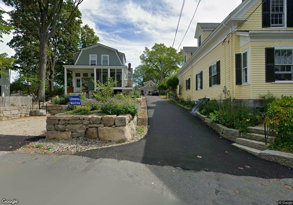
29 Leonard St Gloucester, MA 01930
Annisquam NeighborhoodEstimated Value: $718,000 - $1,996,970
1
Bed
2
Baths
946
Sq Ft
$1,511/Sq Ft
Est. Value
About This Home
This home is located at 29 Leonard St, Gloucester, MA 01930 and is currently estimated at $1,429,493, approximately $1,511 per square foot. 29 Leonard St is a home located in Essex County with nearby schools including Plum Cove School, Ralph B O'maley Middle School, and Gloucester High School.
Ownership History
Date
Name
Owned For
Owner Type
Purchase Details
Closed on
Jun 6, 2024
Sold by
Geoffrey K Bentley 1998 T K and Geoffrey Bentley
Bought by
Martha W Bentley 1998 T W and Martha Bentley
Current Estimated Value
Purchase Details
Closed on
Dec 2, 2020
Sold by
Bentley Martha W
Bought by
Martha W Bentley 1998 T W and Martha Bentley
Purchase Details
Closed on
Aug 12, 2011
Sold by
29 Leonard Street Rt
Bought by
Bentley Martha W
Home Financials for this Owner
Home Financials are based on the most recent Mortgage that was taken out on this home.
Original Mortgage
$450,000
Interest Rate
4.58%
Purchase Details
Closed on
Mar 1, 1980
Bought by
Bentley Martha W
Create a Home Valuation Report for This Property
The Home Valuation Report is an in-depth analysis detailing your home's value as well as a comparison with similar homes in the area
Home Values in the Area
Average Home Value in this Area
Purchase History
| Date | Buyer | Sale Price | Title Company |
|---|---|---|---|
| Martha W Bentley 1998 T W | -- | None Available | |
| Martha W Bentley 1998 T W | -- | None Available | |
| Martha W Bentley 1998 T W | -- | None Available | |
| Martha W Bentley 1998 T | -- | None Available | |
| Geoffrey K Bentley 1998 T | -- | None Available | |
| Martha W Bentley 1998 T W | -- | None Available | |
| Geoffrey K Bentley 1998 T K | -- | None Available | |
| Bentley Martha W | -- | -- | |
| Bentley Martha W | -- | -- | |
| Bentley Martha W | -- | -- |
Source: Public Records
Mortgage History
| Date | Status | Borrower | Loan Amount |
|---|---|---|---|
| Previous Owner | Bentley Martha W | $450,000 | |
| Previous Owner | Bentley Martha W | $44,710 | |
| Previous Owner | Bentley Martha W | $52,000 |
Source: Public Records
Tax History
| Year | Tax Paid | Tax Assessment Tax Assessment Total Assessment is a certain percentage of the fair market value that is determined by local assessors to be the total taxable value of land and additions on the property. | Land | Improvement |
|---|---|---|---|---|
| 2025 | $16,746 | $1,722,800 | $1,369,700 | $353,100 |
| 2024 | $22,846 | $2,348,000 | $1,303,300 | $1,044,700 |
| 2023 | $21,522 | $2,032,300 | $1,112,800 | $919,500 |
| 2022 | $20,788 | $1,772,200 | $966,400 | $805,800 |
| 2021 | $20,064 | $1,612,900 | $879,100 | $733,800 |
| 2020 | $19,793 | $1,605,300 | $879,100 | $726,200 |
| 2019 | $18,843 | $1,484,900 | $838,200 | $646,700 |
| 2018 | $19,129 | $1,479,400 | $817,800 | $661,600 |
| 2017 | $18,554 | $1,406,700 | $779,100 | $627,600 |
| 2016 | $17,673 | $1,298,500 | $744,900 | $553,600 |
| 2015 | $16,919 | $1,239,500 | $728,000 | $511,500 |
Source: Public Records
Map
Nearby Homes
- 672 Washington St
- 136 Leonard St
- 2 Breezy Point Rd
- 226 Atlantic St
- 4 Ciaramitaro Ct
- 178 Atlantic St
- 167 Atlantic St
- 3 Deacon Farm Ln
- 13 Honeysuckle Rd
- 31 Echo Ave
- 9 Hickory St
- 1030 Washington St
- 43 High St Unit B
- 13 Mystic Ave
- 8 Mystic Ave
- 3 Rockland St
- 117 Bray St
- 6 Monroe Ct
- 98 Maplewood Ave
- 12 Arthur St
Your Personal Tour Guide
Ask me questions while you tour the home.