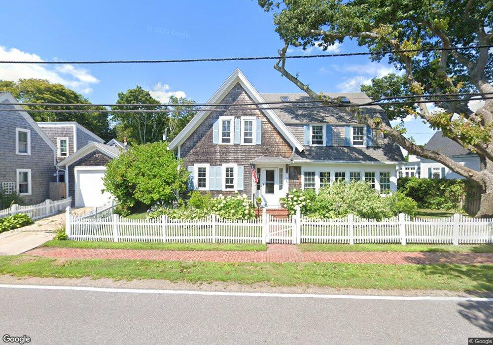
29 Lester B Orcutt Blvd Biddeford, ME 04005
Fortunes Rocks NeighborhoodEstimated Value: $1,346,000 - $1,792,356
5
Beds
4
Baths
3,403
Sq Ft
$479/Sq Ft
Est. Value
About This Home
This home is located at 29 Lester B Orcutt Blvd, Biddeford, ME 04005 and is currently estimated at $1,630,785, approximately $479 per square foot. 29 Lester B Orcutt Blvd is a home with nearby schools including John F Kennedy Memorial School, Biddeford Primary School, and Biddeford Intermediate School.
Ownership History
Date
Name
Owned For
Owner Type
Purchase Details
Closed on
Dec 27, 2018
Sold by
Grey Sarah C
Bought by
Grey Schuyler and Grey Sarah
Current Estimated Value
Home Financials for this Owner
Home Financials are based on the most recent Mortgage that was taken out on this home.
Original Mortgage
$435,000
Interest Rate
3.9%
Mortgage Type
New Conventional
Create a Home Valuation Report for This Property
The Home Valuation Report is an in-depth analysis detailing your home's value as well as a comparison with similar homes in the area
Home Values in the Area
Average Home Value in this Area
Purchase History
| Date | Buyer | Sale Price | Title Company |
|---|---|---|---|
| Grey Schuyler | -- | -- |
Source: Public Records
Mortgage History
| Date | Status | Borrower | Loan Amount |
|---|---|---|---|
| Previous Owner | Grey Schuyler | $435,000 |
Source: Public Records
Tax History Compared to Growth
Tax History
| Year | Tax Paid | Tax Assessment Tax Assessment Total Assessment is a certain percentage of the fair market value that is determined by local assessors to be the total taxable value of land and additions on the property. | Land | Improvement |
|---|---|---|---|---|
| 2024 | $17,823 | $1,253,400 | $835,800 | $417,600 |
| 2023 | $16,396 | $1,249,700 | $832,100 | $417,600 |
| 2022 | $14,675 | $894,300 | $537,000 | $357,300 |
| 2021 | $13,904 | $762,700 | $455,600 | $307,100 |
| 2020 | $14,398 | $718,100 | $431,600 | $286,500 |
| 2019 | $14,348 | $718,100 | $431,600 | $286,500 |
| 2018 | $14,147 | $718,100 | $431,600 | $286,500 |
| 2017 | $13,997 | $697,400 | $431,600 | $265,800 |
| 2016 | $13,850 | $697,400 | $431,600 | $265,800 |
| 2015 | $13,578 | $697,400 | $431,600 | $265,800 |
| 2014 | $13,244 | $697,400 | $431,600 | $265,800 |
| 2013 | -- | $771,400 | $493,600 | $277,800 |
Source: Public Records
Map
Nearby Homes
- 111 Mile Stretch Rd
- 3 Fortunes Rocks Rd
- 6 Days Landing
- 88-90 Old Pool Rd
- 66 Old Pool Rd
- 2 Maddox Pond Rd
- Lot 1 Longboard Ln
- Lot 2 Longboard Ln
- 1 Willow Ridge
- Lot 3 Longboard Ln
- 26 Reserved Ln
- Lot 4 Longboard Ln
- Lot 7 Longboard Ln
- Lot 6 Longboard Ln
- 700 Pool St
- 96 Fortunes Rocks Rd
- 23 North Ave
- 9 Riverside Ave
- 12 Lower Beach Rd
- 27 Sunrise Ave
- 27 Lester B Orcutt Blvd
- 28 Lester B Orcutt Blvd
- 4 Evans Rd
- 30 Lester B Orcutt Blvd
- 26 Lester B Orcutt Blvd
- 2 Evans Rd
- 23 Lester B Orcutt Blvd
- 24 Lester B Orcutt Blvd
- 33 Lester B Orcutt Blvd
- 32 Lester B Orcutt Blvd
- 33 Lester B Orcutt Blvd
- 22 Lester B Orcutt Blvd
- 21 Lester B Orcutt Blvd
- 9 Lester B Orcutt Blvd Unit 7
- 9 Lester B Orcutt Blvd Unit 1
- 7 Lester B Orcutt Blvd
- 9 Lester B Orcutt Blvd Unit 4
- 9 Lester B Orcutt Blvd Unit 2
- 9 Lester B Orcutt Blvd Unit 8