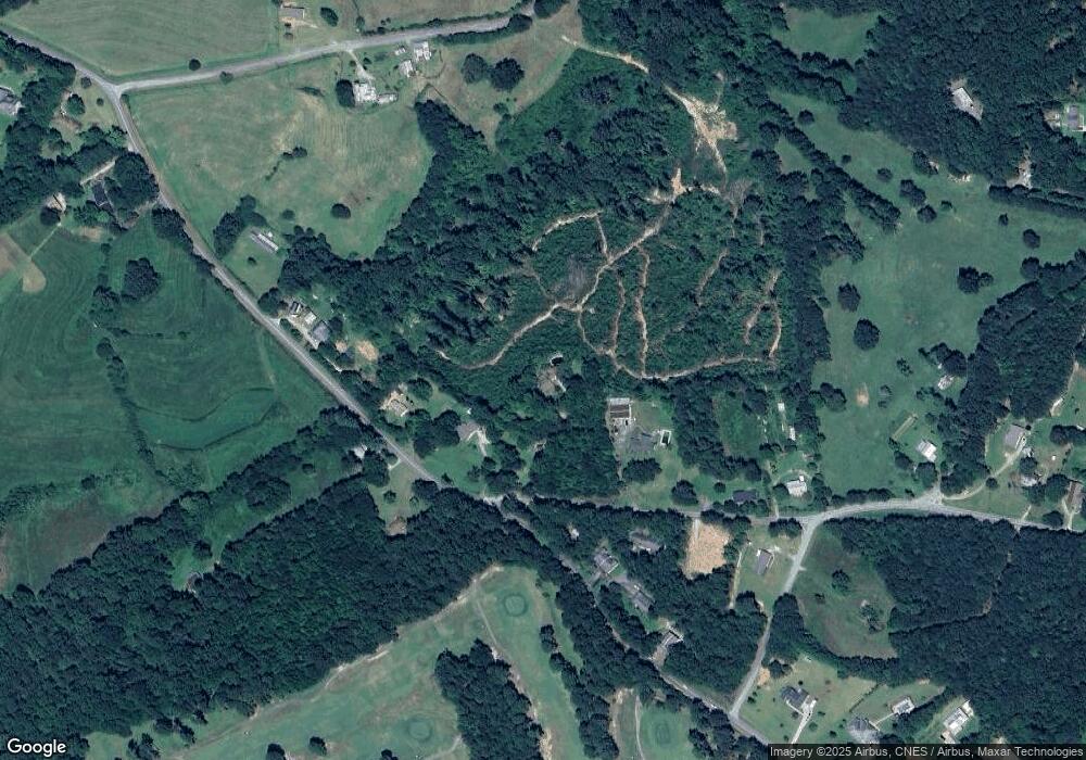
29 Long Cir Toccoa, GA 30577
Estimated Value: $339,000 - $542,000
4
Beds
4
Baths
2,422
Sq Ft
$175/Sq Ft
Est. Value
About This Home
This home is located at 29 Long Cir, Toccoa, GA 30577 and is currently estimated at $422,665, approximately $174 per square foot. 29 Long Cir is a home located in Stephens County with nearby schools including Stephens County High School.
Ownership History
Date
Name
Owned For
Owner Type
Purchase Details
Closed on
Jun 16, 2025
Sold by
Potter Christine
Bought by
Major Barbara and Potter Christine
Current Estimated Value
Home Financials for this Owner
Home Financials are based on the most recent Mortgage that was taken out on this home.
Original Mortgage
$152,625
Outstanding Balance
$152,233
Interest Rate
6.81%
Mortgage Type
New Conventional
Estimated Equity
$270,432
Purchase Details
Closed on
Feb 13, 2020
Sold by
Smdm Enterprises Llc
Bought by
Potter Christine
Purchase Details
Closed on
Jun 12, 2019
Sold by
Terrell Patrick C
Bought by
Smdm Enterprises Llc
Purchase Details
Closed on
Dec 20, 2017
Sold by
Terrell Charles Luther
Bought by
Terrell Patrick C and Terrell Ashley E
Create a Home Valuation Report for This Property
The Home Valuation Report is an in-depth analysis detailing your home's value as well as a comparison with similar homes in the area
Purchase History
| Date | Buyer | Sale Price | Title Company |
|---|---|---|---|
| Major Barbara | -- | -- | |
| Potter Christine | $314,500 | -- | |
| Smdm Enterprises Llc | $135,000 | -- | |
| Terrell Patrick C | -- | -- |
Source: Public Records
Mortgage History
| Date | Status | Borrower | Loan Amount |
|---|---|---|---|
| Open | Major Barbara | $152,625 |
Source: Public Records
Tax History Compared to Growth
Tax History
| Year | Tax Paid | Tax Assessment Tax Assessment Total Assessment is a certain percentage of the fair market value that is determined by local assessors to be the total taxable value of land and additions on the property. | Land | Improvement |
|---|---|---|---|---|
| 2025 | $4,465 | $196,663 | $3,438 | $193,225 |
| 2024 | $4,010 | $133,679 | $3,438 | $130,241 |
| 2023 | $3,669 | $125,243 | $3,438 | $121,805 |
| 2022 | $3,475 | $118,741 | $3,438 | $115,303 |
| 2021 | $3,457 | $112,537 | $3,438 | $109,099 |
| 2020 | $3,433 | $108,717 | $3,438 | $105,279 |
| 2019 | $1,298 | $40,936 | $3,888 | $37,048 |
| 2018 | $1,293 | $40,768 | $3,888 | $36,880 |
| 2017 | $156 | $40,768 | $3,888 | $36,880 |
| 2016 | $1,229 | $40,768 | $3,888 | $36,880 |
| 2015 | $1,288 | $40,768 | $3,888 | $36,880 |
| 2014 | $1,330 | $41,390 | $4,510 | $36,880 |
| 2013 | -- | $41,389 | $4,509 | $36,880 |
Source: Public Records
Map
Nearby Homes
- 1592 Black Mountain Rd
- 850 Long Rd
- 27 Rock Quarry Rd
- 70 Hunters Way
- 596 Watson St
- 1886 Bend N Hickory Rd
- 202 Henderson Falls Rd
- 2146 Bend N Hickory Rd
- 326 Remsdale Rd
- 811 Prather Bridge Rd
- 83 Irene St
- 345 Prather Bridge Rd
- 73 Ridgeview Heights
- 10 Busha St
- 31 Craig St
- 51 Busha St
- 18 W Currahee St
- 84 Oak Creek Cir
- 35 Green Hill Place
- 50 Green Hill Place
- 29 Long Cir
- 826 Black Mountain Rd
- 91 Long Cir
- 768 Black Mountain Rd
- 3145 Black Mountain Rd
- 841 Black Mountain Rd
- 141 Long Rd
- 173 Long Rd
- 0 Black Mountain Rd Unit 20066192
- 0 Black Mountain Rd Unit 20019938
- 0 Black Mountain Rd Unit 9037862
- 97 Cedar Fork Rd
- 688 Black Mountain Rd
- 136 Rider Rd
- 5 Cedar Fork Rd
- 598 Black Mountain Rd
- 3225 Black Mountain Rd
- 875 Black Mountain Rd
- 129 Rider Rd
- 3224 Black Mountain Rd
