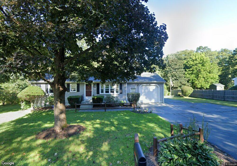
29 Maple St Medway, MA 02053
Estimated Value: $502,000 - $544,000
3
Beds
1
Bath
912
Sq Ft
$581/Sq Ft
Est. Value
About This Home
This home is located at 29 Maple St, Medway, MA 02053 and is currently estimated at $530,020, approximately $581 per square foot. 29 Maple St is a home located in Norfolk County with nearby schools including John D. McGovern Elementary School, Burke-Memorial Elementary, and Medway Middle School.
Ownership History
Date
Name
Owned For
Owner Type
Purchase Details
Closed on
Jul 24, 1990
Sold by
Hollister Philip E
Bought by
Lemmler Wayne D
Current Estimated Value
Home Financials for this Owner
Home Financials are based on the most recent Mortgage that was taken out on this home.
Original Mortgage
$75,000
Interest Rate
9.94%
Mortgage Type
Purchase Money Mortgage
Create a Home Valuation Report for This Property
The Home Valuation Report is an in-depth analysis detailing your home's value as well as a comparison with similar homes in the area
Home Values in the Area
Average Home Value in this Area
Purchase History
| Date | Buyer | Sale Price | Title Company |
|---|---|---|---|
| Lemmler Wayne D | $128,000 | -- |
Source: Public Records
Mortgage History
| Date | Status | Borrower | Loan Amount |
|---|---|---|---|
| Closed | Lemmler Wayne D | $70,000 | |
| Closed | Lemmler Wayne D | $75,000 |
Source: Public Records
Tax History
| Year | Tax Paid | Tax Assessment Tax Assessment Total Assessment is a certain percentage of the fair market value that is determined by local assessors to be the total taxable value of land and additions on the property. | Land | Improvement |
|---|---|---|---|---|
| 2025 | $6,421 | $450,600 | $292,700 | $157,900 |
| 2024 | $6,489 | $450,600 | $292,700 | $157,900 |
| 2023 | $6,013 | $377,200 | $242,500 | $134,700 |
| 2022 | $5,912 | $349,200 | $215,400 | $133,800 |
| 2021 | $5,669 | $324,700 | $198,600 | $126,100 |
| 2020 | $5,357 | $306,100 | $184,000 | $122,100 |
| 2019 | $5,145 | $303,200 | $184,000 | $119,200 |
| 2018 | $4,911 | $278,100 | $158,900 | $119,200 |
| 2017 | $4,894 | $273,100 | $158,900 | $114,200 |
| 2016 | $4,439 | $245,100 | $130,900 | $114,200 |
| 2015 | $4,334 | $237,600 | $123,400 | $114,200 |
| 2014 | $4,316 | $229,100 | $129,600 | $99,500 |
Source: Public Records
Map
Nearby Homes
- 79 Lovering St Unit B
- 8 Winthrop St
- 19 Evergreen St Unit A
- 40 Timber Crest Dr
- 26 Timber Crest Dr
- 19 Sycamore Way
- 5 Richardson St
- 58 Holliston St
- 33 Gorwin Dr
- 50 Main St
- 17 Fairway Ln
- 10 Franklin St
- 11 Fairway Ln
- 6 Freedom Trail
- 2 Kingson Ln Unit 2
- 6 Kingson Ln Unit 2
- 3 Thayer Rd
- 1391 Pond St
- 4 Bullard Cir
- 3 Nobscott Rd
Your Personal Tour Guide
Ask me questions while you tour the home.