Estimated Value: $389,449 - $445,000
3
Beds
3
Baths
1,543
Sq Ft
$267/Sq Ft
Est. Value
About This Home
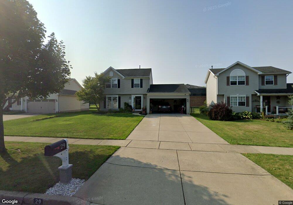
This home is located at 29 Michael Anthony Ln, Depew, NY 14043 and is currently estimated at $411,612, approximately $266 per square foot. 29 Michael Anthony Ln is a home located in Erie County with nearby schools including William Street School, Lancaster Middle School, and Lancaster High School.
Ownership History
Date
Name
Owned For
Owner Type
Purchase Details
Closed on
Jul 2, 2019
Sold by
Ornat Dale P and Ornat Melissa L
Bought by
Dutro Matthew C and Buscaglia Britney M
Current Estimated Value
Home Financials for this Owner
Home Financials are based on the most recent Mortgage that was taken out on this home.
Original Mortgage
$218,500
Outstanding Balance
$191,426
Interest Rate
3.82%
Mortgage Type
New Conventional
Estimated Equity
$220,187
Create a Home Valuation Report for This Property
The Home Valuation Report is an in-depth analysis detailing your home's value as well as a comparison with similar homes in the area
Home Values in the Area
Average Home Value in this Area
Purchase History
| Date | Buyer | Sale Price | Title Company |
|---|---|---|---|
| Dutro Matthew C | $230,000 | Stewart Title Insurance Co |
Source: Public Records
Mortgage History
| Date | Status | Borrower | Loan Amount |
|---|---|---|---|
| Open | Dutro Matthew C | $218,500 |
Source: Public Records
Tax History
| Year | Tax Paid | Tax Assessment Tax Assessment Total Assessment is a certain percentage of the fair market value that is determined by local assessors to be the total taxable value of land and additions on the property. | Land | Improvement |
|---|---|---|---|---|
| 2024 | $6,471 | $230,000 | $70,000 | $160,000 |
| 2023 | $6,447 | $230,000 | $70,000 | $160,000 |
| 2022 | $6,268 | $230,000 | $70,000 | $160,000 |
| 2021 | $6,191 | $230,000 | $70,000 | $160,000 |
| 2020 | $6,401 | $230,000 | $70,000 | $160,000 |
| 2019 | $5,479 | $185,000 | $35,000 | $150,000 |
| 2018 | $5,702 | $185,000 | $35,000 | $150,000 |
| 2017 | $2,837 | $185,000 | $35,000 | $150,000 |
| 2016 | $5,501 | $185,000 | $35,000 | $150,000 |
| 2015 | -- | $185,000 | $35,000 | $150,000 |
| 2014 | -- | $185,000 | $35,000 | $150,000 |
Source: Public Records
Map
Nearby Homes
- 27 Michael Anthony Ln
- 31 Michael Anthony Ln
- 25 Michael Anthony Ln
- 33 Michael Anthony Ln
- 28 Michael Anthony Ln
- 30 Michael Anthony Ln
- 23 Michael Anthony Ln
- 35 Michael Anthony Ln
- 26 Michael Anthony Ln
- 32 Michael Anthony Ln
- 21 Michael Anthony Ln
- 24 Michael Anthony Ln
- 37 Michael Anthony Ln
- 36 Michael Anthony Ln
- 22 Michael Anthony Ln
- 19 Michael Anthony Ln
- 39 Michael Anthony Ln
- 20 Michael Anthony Ln
- 17 Michael Anthony Ln
- 41 Michael Anthony Ln
Your Personal Tour Guide
Ask me questions while you tour the home.