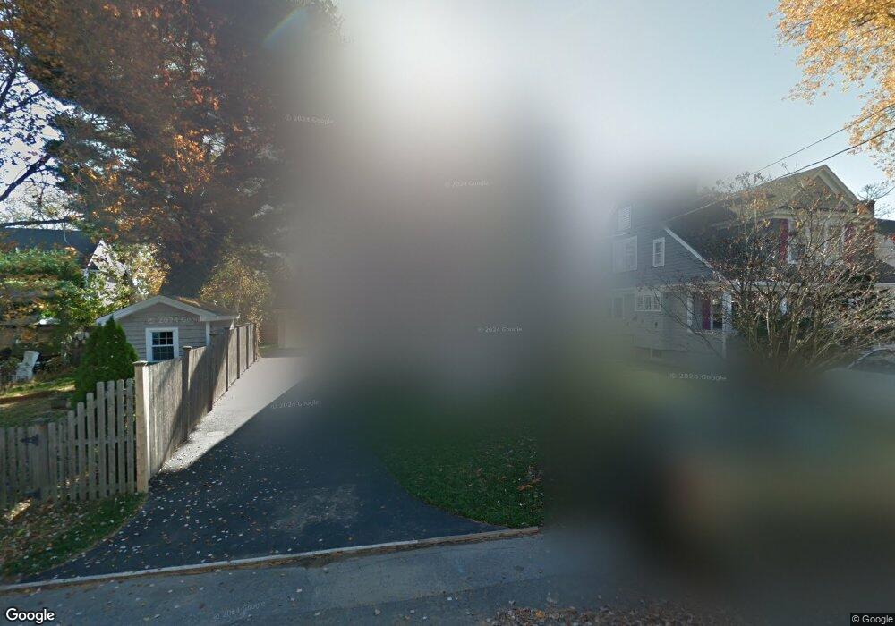
29 Newton St Fairfield, CT 06824
Fairfield Beach NeighborhoodEstimated Value: $1,065,000 - $1,911,000
2
Beds
1
Bath
1,264
Sq Ft
$1,291/Sq Ft
Est. Value
About This Home
This home is located at 29 Newton St, Fairfield, CT 06824 and is currently estimated at $1,631,621, approximately $1,290 per square foot. 29 Newton St is a home located in Fairfield County with nearby schools including Roger Sherman Elementary School, Roger Ludlowe Middle School, and Fairfield Ludlowe High School.
Ownership History
Date
Name
Owned For
Owner Type
Purchase Details
Closed on
Oct 8, 2015
Sold by
Karadmis Construction
Bought by
Collins Denise
Current Estimated Value
Purchase Details
Closed on
Dec 18, 2014
Sold by
Rustin Myra
Bought by
Karadamis Const Llc
Create a Home Valuation Report for This Property
The Home Valuation Report is an in-depth analysis detailing your home's value as well as a comparison with similar homes in the area
Home Values in the Area
Average Home Value in this Area
Purchase History
| Date | Buyer | Sale Price | Title Company |
|---|---|---|---|
| Collins Denise | $999,000 | -- | |
| Collins Denise | $999,000 | -- | |
| Karadamis Const Llc | -- | -- | |
| Karadamis Const Llc | -- | -- |
Source: Public Records
Mortgage History
| Date | Status | Borrower | Loan Amount |
|---|---|---|---|
| Previous Owner | Karadamis Const Llc | $40,362 | |
| Previous Owner | Karadamis Const Llc | $83,650 | |
| Previous Owner | Karadamis Const Llc | $50,000 |
Source: Public Records
Tax History
| Year | Tax Paid | Tax Assessment Tax Assessment Total Assessment is a certain percentage of the fair market value that is determined by local assessors to be the total taxable value of land and additions on the property. | Land | Improvement |
|---|---|---|---|---|
| 2025 | $18,172 | $640,080 | $279,300 | $360,780 |
| 2024 | $17,858 | $640,080 | $279,300 | $360,780 |
| 2023 | $17,609 | $640,080 | $279,300 | $360,780 |
| 2022 | $17,436 | $640,080 | $279,300 | $360,780 |
| 2021 | $17,269 | $640,080 | $279,300 | $360,780 |
| 2020 | $17,453 | $651,490 | $247,520 | $403,970 |
| 2019 | $17,453 | $651,490 | $247,520 | $403,970 |
| 2018 | $17,173 | $651,490 | $247,520 | $403,970 |
| 2017 | $16,821 | $651,490 | $247,520 | $403,970 |
| 2016 | $16,580 | $651,490 | $247,520 | $403,970 |
| 2015 | $7,762 | $313,110 | $268,030 | $45,080 |
| 2014 | $7,640 | $313,110 | $268,030 | $45,080 |
Source: Public Records
Map
Nearby Homes
- 98 Cambridge St
- 855 Riverside Dr
- 361 Riverside Dr
- 2180 Kings Hwy Unit 1
- 324 Sunnieholme Dr
- 115 Fern St
- 20 Ermine St
- 175 Battery Park Dr
- 90 Clarkson St
- 3250 Fairfield Ave Unit 302
- 377 Midland St
- 132 Gilman St
- 97 Fayerweather Terrace
- 245 Unquowa Rd Unit 2
- 245 Unquowa Rd Unit 82
- 245 Unquowa Rd Unit 6
- 345 Reef Rd Unit B6
- 345 Reef Rd Unit C9
- 165 Bennett St
- 318 Grovers Ave
Your Personal Tour Guide
Ask me questions while you tour the home.