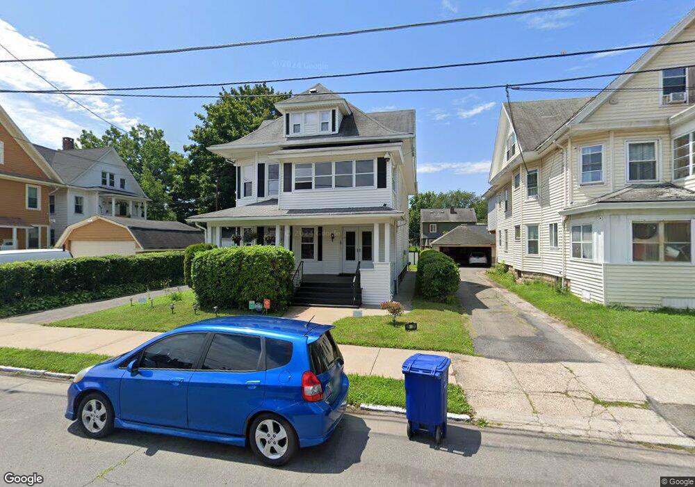
29 Pacific St Unit 31 Bridgeport, CT 06604
West End-West Side NeighborhoodEstimated Value: $488,000 - $674,000
6
Beds
2
Baths
3,414
Sq Ft
$166/Sq Ft
Est. Value
About This Home
This home is located at 29 Pacific St Unit 31, Bridgeport, CT 06604 and is currently estimated at $568,031, approximately $166 per square foot. 29 Pacific St Unit 31 is a home located in Fairfield County with nearby schools including Cesar Batalla School and Bassick High School.
Ownership History
Date
Name
Owned For
Owner Type
Purchase Details
Closed on
Jun 2, 1997
Sold by
Geambazi Florence and Rigia Irene
Bought by
Andrews Benjamin and Andrews Helena
Current Estimated Value
Create a Home Valuation Report for This Property
The Home Valuation Report is an in-depth analysis detailing your home's value as well as a comparison with similar homes in the area
Home Values in the Area
Average Home Value in this Area
Purchase History
| Date | Buyer | Sale Price | Title Company |
|---|---|---|---|
| Andrews Benjamin | $121,000 | -- | |
| Andrews Benjamin | $121,000 | -- |
Source: Public Records
Mortgage History
| Date | Status | Borrower | Loan Amount |
|---|---|---|---|
| Open | Andrews Benjamin | $140,000 | |
| Closed | Andrews Benjamin | $31,500 | |
| Closed | Andrews Benjamin | $142,000 | |
| Closed | Andrews Benjamin | $147,329 |
Source: Public Records
Tax History Compared to Growth
Tax History
| Year | Tax Paid | Tax Assessment Tax Assessment Total Assessment is a certain percentage of the fair market value that is determined by local assessors to be the total taxable value of land and additions on the property. | Land | Improvement |
|---|---|---|---|---|
| 2025 | $9,039 | $208,040 | $52,850 | $155,190 |
| 2024 | $9,039 | $208,040 | $52,850 | $155,190 |
| 2023 | $9,039 | $208,040 | $52,850 | $155,190 |
| 2022 | $9,039 | $208,040 | $52,850 | $155,190 |
| 2021 | $9,039 | $208,040 | $52,850 | $155,190 |
| 2020 | $8,190 | $151,700 | $32,030 | $119,670 |
| 2019 | $8,190 | $151,700 | $32,030 | $119,670 |
| 2018 | $8,248 | $151,700 | $32,030 | $119,670 |
| 2017 | $8,248 | $151,700 | $32,030 | $119,670 |
| 2016 | $8,248 | $151,700 | $32,030 | $119,670 |
| 2015 | $8,588 | $203,500 | $48,450 | $155,050 |
| 2014 | $8,588 | $203,500 | $48,450 | $155,050 |
Source: Public Records
Map
Nearby Homes
- 566 Wood Ave
- 700 Laurel Ave
- 687 Wood Ave
- 697 Laurel Ave
- 184 Pacific St
- 414 Wood Ave
- 670 Clinton Ave
- 1872 North Ave Unit 1874
- 826 Norman St
- 2370 North Ave Unit 4C
- 2370 North Ave Unit 12G
- 2370 North Ave Unit 3F
- 74 Carleton Ave
- 212 Denver Ave
- 533 Clinton Ave
- 860 Briarwood Ave
- 1373 Iranistan Ave
- 725 Beechwood Ave Unit 727
- 468 Colorado Ave
- 60 Olive St
- 39 Pacific St Unit 41
- 38 Pacific St Unit 40
- 30 Pacific St Unit 32
- 59 Pacific St Unit 61
- 320 Beechwood Ave
- 46 Pacific St
- 338 Beechwood Ave Unit 340
- 60 Pacific St Unit 62
- 60 Pacific St Unit 1
- 60 Pacific St Unit 2
- 814 Laurel Ave
- 826 Laurel Ave
- 304 Beechwood Ave
- 804 Laurel Ave
- 308 Beechwood Ave Unit 310
- 346 Beechwood Ave Unit 348
- 331 Beechwood Ave
- 794 Laurel Ave
- 834 Laurel Ave
- 840 Laurel Ave