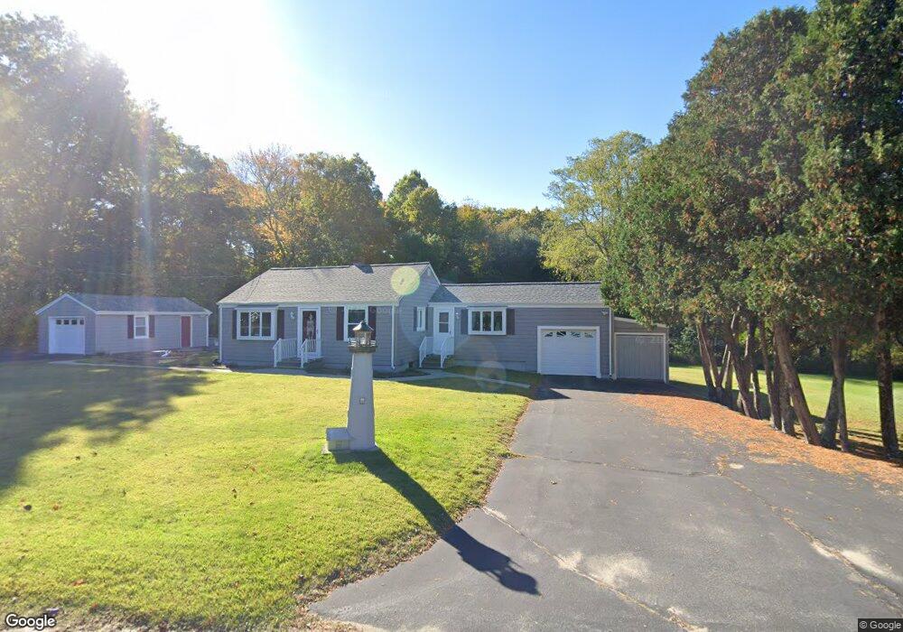
29 Pierce Ln Rehoboth, MA 02769
Estimated Value: $398,127 - $490,000
2
Beds
2
Baths
912
Sq Ft
$491/Sq Ft
Est. Value
About This Home
This home is located at 29 Pierce Ln, Rehoboth, MA 02769 and is currently estimated at $447,532, approximately $490 per square foot. 29 Pierce Ln is a home located in Bristol County with nearby schools including Dighton-Rehoboth Regional High School, Highlander Charter Middle and High School, and East Bay Career Academy.
Ownership History
Date
Name
Owned For
Owner Type
Purchase Details
Closed on
Nov 26, 2024
Sold by
Diiorio Margaret A
Bought by
Souza Edwin J and Souza Timothy S
Current Estimated Value
Purchase Details
Closed on
Sep 15, 1987
Sold by
Daniegonsalves
Bought by
Byler Donald F
Home Financials for this Owner
Home Financials are based on the most recent Mortgage that was taken out on this home.
Original Mortgage
$106,400
Interest Rate
10.27%
Mortgage Type
Purchase Money Mortgage
Create a Home Valuation Report for This Property
The Home Valuation Report is an in-depth analysis detailing your home's value as well as a comparison with similar homes in the area
Home Values in the Area
Average Home Value in this Area
Purchase History
| Date | Buyer | Sale Price | Title Company |
|---|---|---|---|
| Souza Edwin J | -- | None Available | |
| Souza Edwin J | -- | None Available | |
| Byler Donald F | $133,000 | -- |
Source: Public Records
Mortgage History
| Date | Status | Borrower | Loan Amount |
|---|---|---|---|
| Previous Owner | Byler Donald F | $100,000 | |
| Previous Owner | Byler Donald F | $106,400 |
Source: Public Records
Tax History Compared to Growth
Tax History
| Year | Tax Paid | Tax Assessment Tax Assessment Total Assessment is a certain percentage of the fair market value that is determined by local assessors to be the total taxable value of land and additions on the property. | Land | Improvement |
|---|---|---|---|---|
| 2025 | $38 | $337,400 | $191,100 | $146,300 |
| 2024 | $3,729 | $328,300 | $191,100 | $137,200 |
| 2023 | $3,662 | $316,200 | $187,100 | $129,100 |
| 2022 | $3,643 | $287,500 | $178,700 | $108,800 |
| 2021 | $3,457 | $261,100 | $162,400 | $98,700 |
| 2020 | $4,314 | $254,000 | $162,400 | $91,600 |
| 2018 | $2,995 | $250,200 | $154,600 | $95,600 |
| 2017 | $2,896 | $230,600 | $154,600 | $76,000 |
| 2016 | $2,829 | $232,800 | $154,600 | $78,200 |
| 2015 | $2,712 | $220,300 | $147,400 | $72,900 |
| 2014 | $2,651 | $213,100 | $140,200 | $72,900 |
Source: Public Records
Map
Nearby Homes