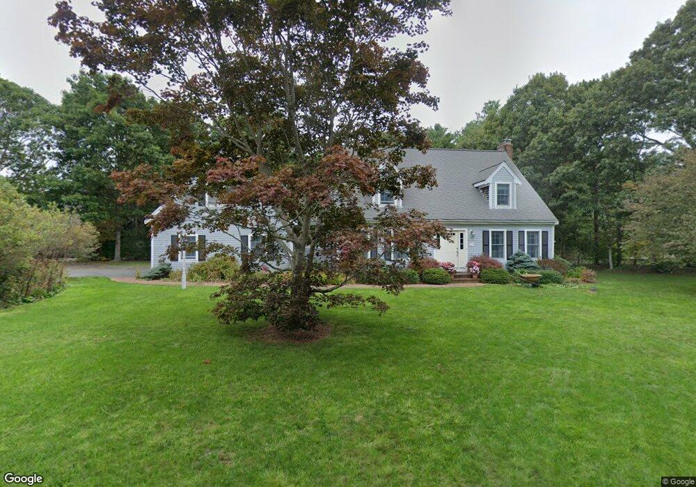
29 Pine Cone Ln East Falmouth, MA 02536
Hatchville NeighborhoodEstimated Value: $773,000 - $935,868
4
Beds
3
Baths
2,720
Sq Ft
$312/Sq Ft
Est. Value
About This Home
This home is located at 29 Pine Cone Ln, East Falmouth, MA 02536 and is currently estimated at $847,717, approximately $311 per square foot. 29 Pine Cone Ln is a home located in Barnstable County with nearby schools including Mullen-Hall School, Morse Pond School, and Lawrence School.
Ownership History
Date
Name
Owned For
Owner Type
Purchase Details
Closed on
Feb 14, 2018
Sold by
Koontz Ronald M and Koontz Jill G
Bought by
Ronald M Koontz Ft and Koontz
Current Estimated Value
Purchase Details
Closed on
Jul 19, 1990
Sold by
Jenkins Kenneth R
Bought by
Koontz Ronald M
Create a Home Valuation Report for This Property
The Home Valuation Report is an in-depth analysis detailing your home's value as well as a comparison with similar homes in the area
Home Values in the Area
Average Home Value in this Area
Purchase History
| Date | Buyer | Sale Price | Title Company |
|---|---|---|---|
| Ronald M Koontz Ft | -- | -- | |
| Ronald M Koontz Ft | -- | -- | |
| Koontz Ronald M | $55,000 | -- | |
| Koontz Ronald M | $55,000 | -- |
Source: Public Records
Mortgage History
| Date | Status | Borrower | Loan Amount |
|---|---|---|---|
| Previous Owner | Koontz Ronald M | $100,000 | |
| Previous Owner | Koontz Ronald M | $30,000 | |
| Previous Owner | Koontz Ronald M | $100,000 |
Source: Public Records
Tax History Compared to Growth
Tax History
| Year | Tax Paid | Tax Assessment Tax Assessment Total Assessment is a certain percentage of the fair market value that is determined by local assessors to be the total taxable value of land and additions on the property. | Land | Improvement |
|---|---|---|---|---|
| 2025 | $4,505 | $767,500 | $221,000 | $546,500 |
| 2024 | $4,452 | $708,900 | $209,700 | $499,200 |
| 2023 | $4,148 | $599,400 | $169,400 | $430,000 |
| 2022 | $3,946 | $490,200 | $142,100 | $348,100 |
| 2021 | $3,714 | $436,900 | $130,300 | $306,600 |
| 2020 | $3,651 | $425,000 | $118,400 | $306,600 |
| 2019 | $3,576 | $417,700 | $118,400 | $299,300 |
| 2018 | $3,466 | $403,000 | $118,400 | $284,600 |
| 2017 | $3,342 | $391,800 | $118,400 | $273,400 |
| 2016 | $3,279 | $391,800 | $118,400 | $273,400 |
| 2015 | $3,209 | $391,800 | $118,400 | $273,400 |
| 2014 | $3,142 | $385,500 | $124,700 | $260,800 |
Source: Public Records
Map
Nearby Homes
- 68 Deepwood Dr
- 590 Sandwich Rd
- 25 Harris Hill Rd
- 17 Pinewood Dr
- 59 Whitecaps Dr
- 70 Meredith Dr
- 12 Rock Hollow Dr
- 100 Tanglewood Dr
- 66 Braxton Rd
- 32 Jamie Ln
- 273 Sandwich Rd
- 3 Viber Ln
- 149 Brick Kiln Rd
- 130 Old Barnstable Rd
- 809 Sandwich Rd
- 47 Shallow Pond Ln
- 23 Little John Rd
- 33 John Parker Rd
- 11 Shallow Pond Ln
- 18 Cold Spring Ln
- 30 Pine Cone Ln
- 39 Corrine Dr
- 14 Cold Spring Ln
- 0 Cold Spring Ln
- 24 Pine Cone Ln
- 35 Corrine Dr
- 12 Cold Spring Ln
- 34 Corrine Dr
- 5 Cold Spring Ln
- 18 Pine Cone Ln
- 29 Corrine Dr
- 102 Lake Shore Dr
- 8 Cold Spring Ln
- 100 Lake Shore Dr
- 130 Lake Shore Dr
- 104 Lake Shore Dr
- 134 Lake Shore Dr
- 73 Clearwater Dr
- 136 Lake Shore Dr