Estimated Value: $875,000 - $1,042,000
2
Beds
3
Baths
2,083
Sq Ft
$445/Sq Ft
Est. Value
About This Home
This home is located at 29 Quail Ridge Dr, Acton, MA 01720 and is currently estimated at $927,260, approximately $445 per square foot. 29 Quail Ridge Dr is a home located in Middlesex County with nearby schools including Acton-Boxborough Regional High School and Oak Meadow Montessori School.
Ownership History
Date
Name
Owned For
Owner Type
Purchase Details
Closed on
May 14, 2019
Sold by
Giangrande Jacqueline R
Bought by
J R Giangrande Irt
Current Estimated Value
Purchase Details
Closed on
Nov 15, 2013
Sold by
Pulte Homes Of New Eng
Bought by
Giangrande Jacqueline R
Home Financials for this Owner
Home Financials are based on the most recent Mortgage that was taken out on this home.
Original Mortgage
$275,000
Interest Rate
4.24%
Mortgage Type
New Conventional
Create a Home Valuation Report for This Property
The Home Valuation Report is an in-depth analysis detailing your home's value as well as a comparison with similar homes in the area
Home Values in the Area
Average Home Value in this Area
Purchase History
| Date | Buyer | Sale Price | Title Company |
|---|---|---|---|
| J R Giangrande Irt | -- | -- | |
| Giangrande Jacqueline R | $432,265 | -- |
Source: Public Records
Mortgage History
| Date | Status | Borrower | Loan Amount |
|---|---|---|---|
| Previous Owner | Giangrande Jacqueline R | $275,000 |
Source: Public Records
Tax History Compared to Growth
Tax History
| Year | Tax Paid | Tax Assessment Tax Assessment Total Assessment is a certain percentage of the fair market value that is determined by local assessors to be the total taxable value of land and additions on the property. | Land | Improvement |
|---|---|---|---|---|
| 2025 | $15,087 | $879,700 | $0 | $879,700 |
| 2024 | $11,812 | $708,600 | $0 | $708,600 |
| 2023 | $11,042 | $628,800 | $0 | $628,800 |
| 2022 | $12,693 | $652,600 | $0 | $652,600 |
| 2021 | $12,464 | $616,100 | $0 | $616,100 |
| 2020 | $11,852 | $616,000 | $0 | $616,000 |
| 2019 | $11,056 | $570,800 | $0 | $570,800 |
| 2018 | $9,933 | $540,100 | $0 | $540,100 |
| 2017 | $9,646 | $506,100 | $0 | $506,100 |
| 2016 | $9,271 | $482,100 | $0 | $482,100 |
| 2015 | $8,727 | $458,100 | $0 | $458,100 |
| 2014 | $9,064 | $466,000 | $0 | $466,000 |
Source: Public Records
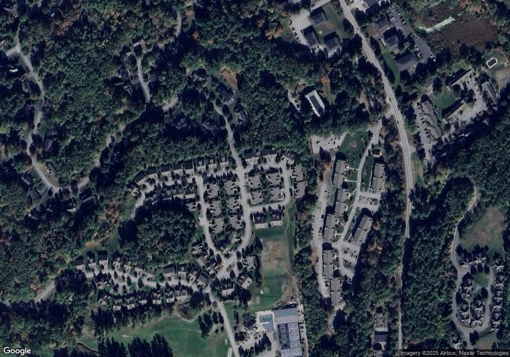
Map
Nearby Homes
- 390 Great Rd Unit A2
- 420 Great Rd Unit B3
- 386 Great Rd Unit A8
- 428 Great Rd Unit 10
- 403 Great Rd Unit 5
- 407 Great Rd Unit 9
- 16 Wampus Ave Unit 32
- 159 Skyline Dr Unit 159
- 484 Great Rd
- 484 Great Rd
- 1 Quarry Rd
- 9 Breezy Point Rd
- 484 Great Road -3
- 484 Great Road -4
- 484 Great Road -6
- 7 Blue Heron Way
- 17 Northbriar Rd
- 237 Brown Bear Crossing Unit 237
- 601 Old Stone Brook
- 517 Tumbling Hawk
- 29 Quail Ridge Dr Unit 58
- 27 Quail Ridge Dr Unit 57
- 27 Quail Ridge Dr
- 23 Quail Ridge Dr Unit 23
- 16 Greenside Ln Unit 55
- 18 Greenside Ln Unit 56
- 27 Greenside Ln Unit 27
- 10 Greenside Ln
- 25 Greenside Ln Unit 60
- 1 Greenside Ln Unit 72
- 19 Greenside Ln Unit 63
- 19 Ryder Path Unit 38
- 21 Ryder Path Unit 37
- 5 Greenside Ln Unit 70
- 17 Greenside Ln Unit 17
- 15 Greenside Ln Unit 65
- 15 Greenside Ln Unit 15
- 18 Quail Ridge Dr
- 18 Quail Ridge Dr Unit 18
- 16 Quail Ridge Dr Unit 45