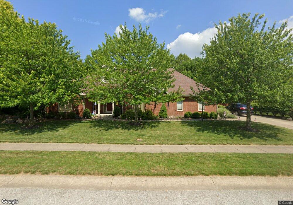
29 Raccoon Ct Brownsburg, IN 46112
Estimated Value: $376,000 - $427,000
3
Beds
2
Baths
2,087
Sq Ft
$196/Sq Ft
Est. Value
About This Home
This home is located at 29 Raccoon Ct, Brownsburg, IN 46112 and is currently estimated at $408,865, approximately $195 per square foot. 29 Raccoon Ct is a home located in Hendricks County with nearby schools including White Lick Elementary School, Brownsburg West Middle School, and Brownsburg High School.
Ownership History
Date
Name
Owned For
Owner Type
Purchase Details
Closed on
Aug 27, 2021
Sold by
Nugent Winifred J
Bought by
Atsinger Ethan and Atsinger Jo Ann
Current Estimated Value
Home Financials for this Owner
Home Financials are based on the most recent Mortgage that was taken out on this home.
Original Mortgage
$272,000
Outstanding Balance
$247,130
Interest Rate
2.7%
Mortgage Type
New Conventional
Estimated Equity
$161,735
Purchase Details
Closed on
Feb 24, 2021
Sold by
Nugent James J and Nugent Winifred J
Bought by
Nugent Winifred J
Create a Home Valuation Report for This Property
The Home Valuation Report is an in-depth analysis detailing your home's value as well as a comparison with similar homes in the area
Home Values in the Area
Average Home Value in this Area
Purchase History
| Date | Buyer | Sale Price | Title Company |
|---|---|---|---|
| Atsinger Ethan | -- | None Available | |
| Nugent Winifred J | -- | None Available |
Source: Public Records
Mortgage History
| Date | Status | Borrower | Loan Amount |
|---|---|---|---|
| Open | Atsinger Ethan | $272,000 |
Source: Public Records
Tax History Compared to Growth
Tax History
| Year | Tax Paid | Tax Assessment Tax Assessment Total Assessment is a certain percentage of the fair market value that is determined by local assessors to be the total taxable value of land and additions on the property. | Land | Improvement |
|---|---|---|---|---|
| 2024 | $4,074 | $407,400 | $54,600 | $352,800 |
| 2023 | $3,827 | $382,700 | $49,600 | $333,100 |
| 2022 | $3,080 | $308,000 | $47,200 | $260,800 |
| 2021 | $2,711 | $271,100 | $44,600 | $226,500 |
| 2020 | $2,694 | $269,400 | $44,600 | $224,800 |
| 2019 | $2,530 | $253,000 | $41,600 | $211,400 |
| 2018 | $2,396 | $239,600 | $41,600 | $198,000 |
| 2017 | $2,229 | $222,900 | $39,200 | $183,700 |
| 2016 | $2,232 | $223,200 | $39,200 | $184,000 |
| 2014 | $2,183 | $218,300 | $37,700 | $180,600 |
Source: Public Records
Map
Nearby Homes
- 1711 Hunters Trail
- 4 Kimbrough Ct
- 2026 Milburn Dr
- 6 Rosecrans Ct
- 1027 Plum St Unit 39
- 1030 Woodridge Unit 52
- 1031 Woodridge
- 56 Presidential Way
- 202 Sugar Bush Ln S
- 3 Fairwood Dr
- 1628 Woodstock Dr
- 2337 Hanover Rd
- 1390 Holiday Ln E
- 1119 Manchester Dr Unit 188
- T1500 Plan at Trailside
- T1800 Plan at Trailside
- T1600 Plan at Trailside
- 4531 Tolleston Ave
- 3120 N County Road 800 E
- 1139 Brunes Blvd Unit 139