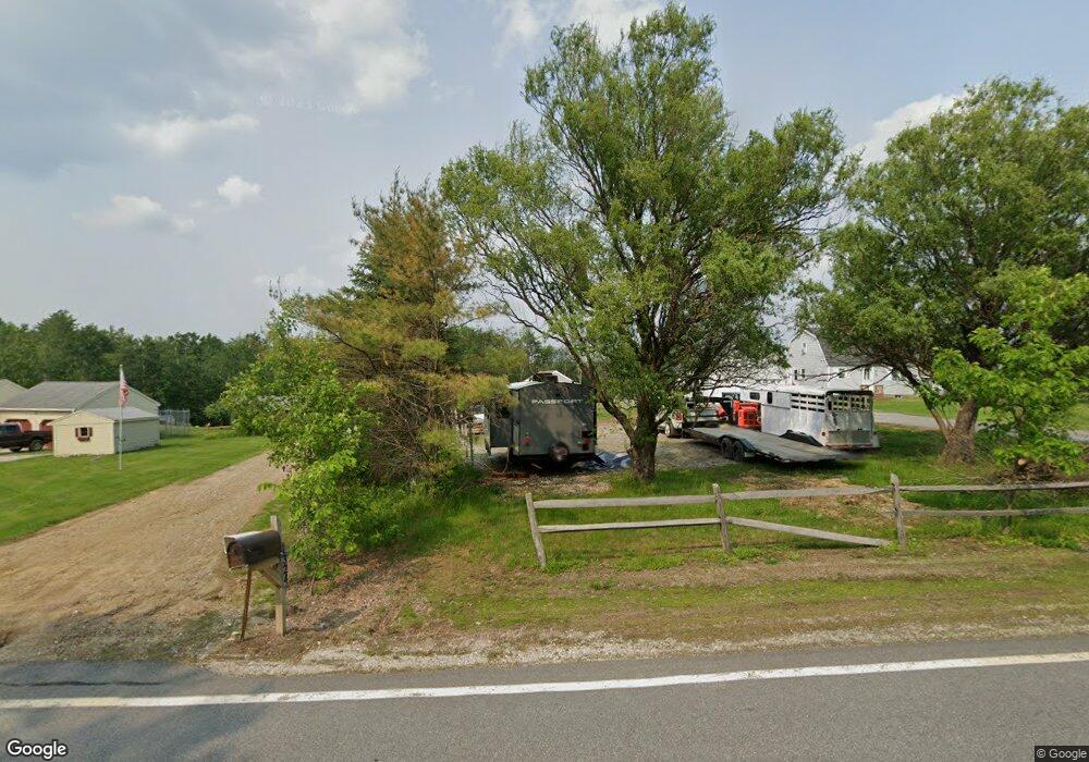
29 Range Rd Pittsfield, NH 03263
Estimated Value: $537,514 - $588,000
3
Beds
2
Baths
1,930
Sq Ft
$292/Sq Ft
Est. Value
About This Home
This home is located at 29 Range Rd, Pittsfield, NH 03263 and is currently estimated at $562,629, approximately $291 per square foot. 29 Range Rd is a home located in Merrimack County with nearby schools including Pittsfield Elementary School and Pittsfield High School.
Create a Home Valuation Report for This Property
The Home Valuation Report is an in-depth analysis detailing your home's value as well as a comparison with similar homes in the area
Home Values in the Area
Average Home Value in this Area
Tax History
| Year | Tax Paid | Tax Assessment Tax Assessment Total Assessment is a certain percentage of the fair market value that is determined by local assessors to be the total taxable value of land and additions on the property. | Land | Improvement |
|---|---|---|---|---|
| 2025 | $10,628 | $596,400 | $296,300 | $300,100 |
| 2024 | $8,892 | $297,700 | $136,000 | $161,700 |
| 2023 | $7,434 | $297,700 | $136,000 | $161,700 |
| 2022 | $7,079 | $297,700 | $136,000 | $161,700 |
| 2020 | $7,359 | $297,700 | $136,000 | $161,700 |
| 2019 | $7,890 | $240,100 | $126,100 | $114,000 |
| 2018 | $8,007 | $240,100 | $126,100 | $114,000 |
| 2017 | $8,034 | $240,100 | $126,100 | $114,000 |
| 2016 | $7,743 | $240,100 | $126,100 | $114,000 |
| 2015 | $7,270 | $240,100 | $126,100 | $114,000 |
| 2014 | $7,221 | $247,900 | $130,400 | $117,500 |
| 2013 | $7,630 | $247,900 | $130,400 | $117,500 |
Source: Public Records
Map
Nearby Homes
- 79 High St
- 153 Leavitt Rd
- 47 Carroll St
- L33 Province Rd
- 21 Concord Hill Rd
- 22 Concord Hill Rd
- 88 Winant Rd
- 110 Main St
- M2-l29-2 Province Rd
- 68 Targhee Dr
- 97 Fairview Dr
- 22 Pinepark Dr
- 33 W Meadow Rd
- 4 Sandy Point Rd
- 67 Swiggey Brook Rd
- Map R29 Lot 1 Catamount Rd
- 0 Dowboro Rd Unit 11
- 00 Bingham Rd Unit 2
- Lot 33 Ridge Rd
- 18 Catamount Rd
Your Personal Tour Guide
Ask me questions while you tour the home.