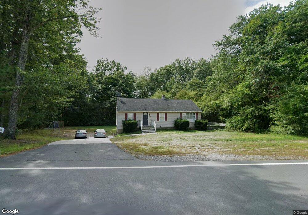
29 S Depot Rd Hollis, NH 03049
Southwest Nashua NeighborhoodEstimated Value: $432,814 - $505,000
2
Beds
1
Bath
968
Sq Ft
$475/Sq Ft
Est. Value
About This Home
This home is located at 29 S Depot Rd, Hollis, NH 03049 and is currently estimated at $460,204, approximately $475 per square foot. 29 S Depot Rd is a home with nearby schools including Hollis Primary School, Hollis Upper Elementary School, and Hollis-Brookline Middle School.
Ownership History
Date
Name
Owned For
Owner Type
Purchase Details
Closed on
Feb 24, 2022
Sold by
J & D Re Properties Lp
Bought by
Rosu Michele and Barbosa Maria R
Current Estimated Value
Home Financials for this Owner
Home Financials are based on the most recent Mortgage that was taken out on this home.
Original Mortgage
$326,610
Outstanding Balance
$302,123
Interest Rate
3.55%
Mortgage Type
Purchase Money Mortgage
Estimated Equity
$158,081
Create a Home Valuation Report for This Property
The Home Valuation Report is an in-depth analysis detailing your home's value as well as a comparison with similar homes in the area
Home Values in the Area
Average Home Value in this Area
Purchase History
| Date | Buyer | Sale Price | Title Company |
|---|---|---|---|
| Rosu Michele | $343,800 | None Available |
Source: Public Records
Mortgage History
| Date | Status | Borrower | Loan Amount |
|---|---|---|---|
| Open | Rosu Michele | $326,610 |
Source: Public Records
Tax History Compared to Growth
Tax History
| Year | Tax Paid | Tax Assessment Tax Assessment Total Assessment is a certain percentage of the fair market value that is determined by local assessors to be the total taxable value of land and additions on the property. | Land | Improvement |
|---|---|---|---|---|
| 2024 | $6,078 | $342,800 | $223,100 | $119,700 |
| 2023 | $6,476 | $388,700 | $223,100 | $165,600 |
| 2022 | $8,773 | $388,700 | $223,100 | $165,600 |
| 2021 | $5,416 | $238,600 | $145,300 | $93,300 |
| 2020 | $5,531 | $238,600 | $145,300 | $93,300 |
| 2019 | $5,512 | $238,600 | $145,300 | $93,300 |
| 2018 | $5,170 | $238,600 | $145,300 | $93,300 |
| 2017 | $4,357 | $188,200 | $122,200 | $66,000 |
| 2016 | $4,410 | $188,200 | $122,200 | $66,000 |
| 2015 | $4,332 | $188,200 | $122,200 | $66,000 |
| 2014 | $4,353 | $188,200 | $122,200 | $66,000 |
| 2013 | $4,295 | $188,200 | $122,200 | $66,000 |
Source: Public Records
Map
Nearby Homes
- 28 S Depot Rd
- 32 S Depot Rd
- 24 S Depot Rd
- 33 S Depot Rd
- 8 Cross Rd Unit 8
- 39 S Depot Rd
- 31 S Depot Rd
- 12 Rail Way Unit 12
- 12 Rail Way
- 10 Rail Way
- 8 Rail Way Unit 2
- 47 S Depot Rd
- 19 Old Runnells Bridge Rd
- 4 Rail Way Unit 4
- 2 Rail Way Unit 2
- 2 Rail Way
- 49 S Depot Rd
- 15 Old Runnells Bridge Rd
- 11 S Depot Rd
- 1 Old Runnells Bridge Rd