29 S Parrish Dr Unit 29 Londonderry, NH 03053
Estimated Value: $492,483 - $599,000
2
Beds
3
Baths
1,665
Sq Ft
$330/Sq Ft
Est. Value
About This Home
This home is located at 29 S Parrish Dr Unit 29, Londonderry, NH 03053 and is currently estimated at $549,871, approximately $330 per square foot. 29 S Parrish Dr Unit 29 is a home located in Rockingham County with nearby schools including Matthew Thornton Elementary School, Londonderry Middle School, and Londonderry Senior High School.
Ownership History
Date
Name
Owned For
Owner Type
Purchase Details
Closed on
Aug 8, 2013
Sold by
Baker Richard and Baker Joan
Bought by
Baker Ft
Current Estimated Value
Purchase Details
Closed on
Jun 6, 2012
Sold by
Pontbriand Raymond and Pontbriand Janice
Bought by
Baker Richard and Baker Joan
Purchase Details
Closed on
Jul 26, 2002
Sold by
Parrish Hills Llc
Bought by
Pontbriand Raymond and Pontbriand Janice
Create a Home Valuation Report for This Property
The Home Valuation Report is an in-depth analysis detailing your home's value as well as a comparison with similar homes in the area
Home Values in the Area
Average Home Value in this Area
Purchase History
| Date | Buyer | Sale Price | Title Company |
|---|---|---|---|
| Baker Ft | -- | -- | |
| Baker Richard | $255,000 | -- | |
| Pontbriand Raymond | $250,500 | -- |
Source: Public Records
Mortgage History
| Date | Status | Borrower | Loan Amount |
|---|---|---|---|
| Previous Owner | Pontbriand Raymond | $20,000 |
Source: Public Records
Tax History Compared to Growth
Tax History
| Year | Tax Paid | Tax Assessment Tax Assessment Total Assessment is a certain percentage of the fair market value that is determined by local assessors to be the total taxable value of land and additions on the property. | Land | Improvement |
|---|---|---|---|---|
| 2024 | $7,081 | $438,700 | $0 | $438,700 |
| 2023 | $7,420 | $474,100 | $0 | $474,100 |
| 2022 | $6,601 | $357,200 | $0 | $357,200 |
| 2021 | $6,677 | $363,300 | $0 | $363,300 |
| 2020 | $6,642 | $330,300 | $0 | $330,300 |
| 2019 | $6,405 | $330,300 | $0 | $330,300 |
| 2018 | $6,817 | $312,700 | $0 | $312,700 |
| 2017 | $6,757 | $312,700 | $0 | $312,700 |
| 2016 | $6,117 | $284,500 | $0 | $284,500 |
| 2015 | $5,980 | $284,500 | $0 | $284,500 |
| 2014 | $6,000 | $284,500 | $0 | $284,500 |
| 2011 | -- | $270,100 | $0 | $270,100 |
Source: Public Records
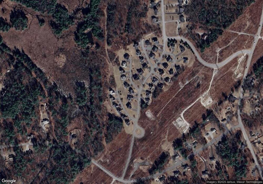
Map
Nearby Homes
- 57 Hardy Rd
- 10 Judy Dr
- 20 Wedgewood Dr
- 118 Fieldstone Dr Unit 118
- 169 Fieldstone Dr
- 193 Fieldstone Dr
- 193 Fieldstone Dr Unit 193
- 38 Bartley Hill Rd
- 50 Bartley Hill Rd
- 75 Rockingham Rd
- 17 Welch Rd
- 11 Elise Ave Unit Lot 91
- 6 Sugar Plum Ln
- 107a Gilcreast Rd Unit A
- 36 Perkins Rd
- 32 Noyes Rd
- 267 Winding Pond Rd
- 224 High Range Rd
- 35 Red Deer Rd
- 103 Rockingham Rd Unit 1
- 29 S Parrish Dr
- 30 S Parrish Dr Unit 30
- 30 S Parrish Dr Unit 1
- 31 S Parrish Dr Unit 31
- 23 S Parrish Dr
- 13 S Parrish Dr Unit 13
- 14 S Parrish Dr
- 14 S Parrish Dr Unit 14
- 37 S Parrish Dr
- 37 S Parrish Dr Unit 37
- 37 S Parrish Dr Unit 1
- 36 S Parrish Dr Unit 36
- 35 S Parrish Dr
- 26 S Parrish Dr Unit 26
- 34 S Parrish Dr Unit 34
- 27 S Parrish Dr
- 21 S Parrish Dr Unit 21
- 32 S Parrish Dr
- 8 S Parrish Dr Unit 8
- 9 S Parrish Dr