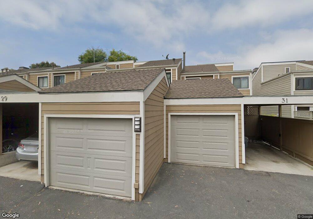
29 Seabird Ct Newport Beach, CA 92663
Westside Costa Mesa NeighborhoodEstimated Value: $846,872 - $1,031,000
3
Beds
3
Baths
1,392
Sq Ft
$669/Sq Ft
Est. Value
About This Home
This home is located at 29 Seabird Ct, Newport Beach, CA 92663 and is currently estimated at $930,718, approximately $668 per square foot. 29 Seabird Ct is a home located in Orange County with nearby schools including Victoria Elementary School, Charles W. Tewinkle Middle School, and Estancia High School.
Ownership History
Date
Name
Owned For
Owner Type
Purchase Details
Closed on
Jun 27, 2022
Sold by
Lortie Susan R
Bought by
Susan R Lortie Trust
Current Estimated Value
Purchase Details
Closed on
Aug 30, 2011
Sold by
Warner Carl and Warner Lisa
Bought by
Lortie Warren H and Lortie Susan R
Purchase Details
Closed on
Apr 14, 2010
Sold by
Warner Carl and Warner Lisa
Bought by
Warner Carl and Warner Lisa
Purchase Details
Closed on
Apr 27, 2005
Sold by
Warner Carl A
Bought by
Warner Carl A and Warner Lisa
Home Financials for this Owner
Home Financials are based on the most recent Mortgage that was taken out on this home.
Original Mortgage
$360,500
Interest Rate
5.37%
Mortgage Type
Purchase Money Mortgage
Purchase Details
Closed on
Mar 18, 2003
Sold by
Reed Mark G and Reed Allison M
Bought by
Warner Carl A
Home Financials for this Owner
Home Financials are based on the most recent Mortgage that was taken out on this home.
Original Mortgage
$268,000
Interest Rate
4.99%
Purchase Details
Closed on
Jun 11, 2001
Sold by
Maxey Steven C
Bought by
Reed Mark G and Reed Allison M
Home Financials for this Owner
Home Financials are based on the most recent Mortgage that was taken out on this home.
Original Mortgage
$194,000
Interest Rate
7.14%
Purchase Details
Closed on
Aug 11, 1995
Sold by
Junowich Donald and Junowich Irene E Hall
Bought by
Maxey Steven C
Home Financials for this Owner
Home Financials are based on the most recent Mortgage that was taken out on this home.
Original Mortgage
$150,100
Interest Rate
7.63%
Create a Home Valuation Report for This Property
The Home Valuation Report is an in-depth analysis detailing your home's value as well as a comparison with similar homes in the area
Home Values in the Area
Average Home Value in this Area
Purchase History
| Date | Buyer | Sale Price | Title Company |
|---|---|---|---|
| Susan R Lortie Trust | -- | Anderson Law Group Inc | |
| Lortie Susan R | -- | Anderson Law Group Inc | |
| Lortie Warren H | -- | Anderson Law Group Inc | |
| Lortie Warren H | $300,000 | Equity Title Company | |
| Warner Carl | -- | Equity Title Company | |
| Warner Carl | -- | None Available | |
| Warner Carl | -- | None Available | |
| Warner Carl A | -- | North American Title Co | |
| Warner Carl A | $335,000 | North American Title Co | |
| Reed Mark G | $242,500 | -- | |
| Maxey Steven C | $158,000 | Fidelity National Title Ins |
Source: Public Records
Mortgage History
| Date | Status | Borrower | Loan Amount |
|---|---|---|---|
| Previous Owner | Warner Carl A | $360,500 | |
| Previous Owner | Warner Carl A | $268,000 | |
| Previous Owner | Reed Mark G | $194,000 | |
| Previous Owner | Maxey Steven C | $150,100 | |
| Closed | Warner Carl A | $67,000 |
Source: Public Records
Tax History Compared to Growth
Tax History
| Year | Tax Paid | Tax Assessment Tax Assessment Total Assessment is a certain percentage of the fair market value that is determined by local assessors to be the total taxable value of land and additions on the property. | Land | Improvement |
|---|---|---|---|---|
| 2025 | $4,447 | $376,811 | $284,024 | $92,787 |
| 2024 | $4,447 | $369,423 | $278,455 | $90,968 |
| 2023 | $4,461 | $362,180 | $272,995 | $89,185 |
| 2022 | $4,306 | $355,079 | $267,642 | $87,437 |
| 2021 | $4,023 | $348,117 | $262,394 | $85,723 |
| 2020 | $3,983 | $344,548 | $259,703 | $84,845 |
| 2019 | $3,907 | $337,793 | $254,611 | $83,182 |
| 2018 | $3,832 | $331,170 | $249,619 | $81,551 |
| 2017 | $3,766 | $324,677 | $244,725 | $79,952 |
| 2016 | $3,684 | $318,311 | $239,926 | $78,385 |
| 2015 | $3,648 | $313,530 | $236,322 | $77,208 |
| 2014 | $3,563 | $307,389 | $231,693 | $75,696 |
Source: Public Records
Map
Nearby Homes
- 5 Sand Dollar Ct Unit 16
- 10 Summerwalk Ct Unit 29
- 2053 Meadow View Ln
- 1789 Nantucket Place
- 1845 Monrovia Ave Unit 9
- 1845 Monrovia Ave Unit 24
- 1845 Monrovia Ave Unit 34
- 1269 Westreef
- 1875 Monrovia Ave Unit 87
- 1750 Whittier Ave Unit 87
- 21372 Brookhurst St Unit 226
- 853 Oak St
- 903 W 17th St Unit 16
- 2230 Canyon Dr
- 2023 Placentia Ave
- 1660 Whittier Ave Unit 3
- 1660 Whittier Ave Unit 17
- 1660 Whittier Ave Unit 18
- 21861 Vacation Ln
- 1083 Mesa Bluff Dr Unit 13
- 29 Seabird Ct Unit 8
- 31 Seabird Ct Unit 7
- 27 Seabird Ct Unit 9
- 25 Seabird Ct
- 33 Seabird Ct Unit 6
- 23 Seabird Ct
- 35 Seabird Ct Unit 5
- 21 Seabird Ct Unit 12
- 37 Seabird Ct Unit 4
- 19 Seabird Ct Unit 13
- 39 Seabird Ct Unit 3
- 30 Seabird Ct
- 20 Seabird Ct Unit 30
- 32 Seabird Ct Unit 32
- 17 Seabird Ct Unit 14
- 18 Seabird Ct
- 34 Seabird Ct Unit 33
- 41 Seabird Ct Unit 2
- 16 Seabird Ct Unit 28
- 16 Seabird Ct