29 Stuart Dr Helena, GA 31037
Estimated Value: $68,984 - $91,000
Studio
--
Bath
1,596
Sq Ft
$49/Sq Ft
Est. Value
About This Home
This home is located at 29 Stuart Dr, Helena, GA 31037 and is currently estimated at $77,995, approximately $48 per square foot. 29 Stuart Dr is a home located in Telfair County with nearby schools including Telfair County Elementary School, Telfair County Middle School, and Telfair County High School.
Ownership History
Date
Name
Owned For
Owner Type
Purchase Details
Closed on
Apr 30, 2021
Sold by
Rmbs Reo Holdings Llc
Bought by
Evans Johnny Lee
Current Estimated Value
Purchase Details
Closed on
Oct 1, 2019
Sold by
Us Bank Trust National Association Trust
Bought by
Rmbs Reo Holdings Llc
Purchase Details
Closed on
Jan 4, 1999
Sold by
Bank America Housing
Bought by
Wadley Emmit
Purchase Details
Closed on
May 7, 1998
Sold by
Washington Gwendolyn
Bought by
Bank America Housing
Purchase Details
Closed on
Oct 7, 1997
Sold by
Big Oak Land Develop
Bought by
Washington Gwendolyn
Create a Home Valuation Report for This Property
The Home Valuation Report is an in-depth analysis detailing your home's value as well as a comparison with similar homes in the area
Home Values in the Area
Average Home Value in this Area
Purchase History
| Date | Buyer | Sale Price | Title Company |
|---|---|---|---|
| Evans Johnny Lee | $8,500 | -- | |
| Rmbs Reo Holdings Llc | $18,000 | -- | |
| Us Bank Trust National Association Trust | $18,000 | -- | |
| Wadley Emmit | $5,000 | -- | |
| Bank America Housing | $64,500 | -- | |
| Washington Gwendolyn | $5,000 | -- |
Source: Public Records
Tax History
| Year | Tax Paid | Tax Assessment Tax Assessment Total Assessment is a certain percentage of the fair market value that is determined by local assessors to be the total taxable value of land and additions on the property. | Land | Improvement |
|---|---|---|---|---|
| 2025 | $122 | $4,162 | $2,562 | $1,600 |
| 2024 | $124 | $4,162 | $2,562 | $1,600 |
| 2023 | $124 | $4,162 | $2,562 | $1,600 |
| 2022 | $101 | $3,400 | $2,093 | $1,307 |
| 2021 | $130 | $4,162 | $2,562 | $1,600 |
| 2020 | $400 | $8,418 | $0 | $8,418 |
| 2019 | $331 | $6,175 | $0 | $6,175 |
| 2018 | $337 | $10,460 | $2,562 | $7,898 |
| 2017 | $350 | $10,733 | $2,562 | $8,171 |
| 2016 | $350 | $10,997 | $2,562 | $8,435 |
| 2015 | -- | $11,178 | $2,562 | $8,616 |
| 2014 | -- | $11,068 | $2,562 | $8,506 |
| 2013 | -- | $14,030 | $2,562 | $11,468 |
Source: Public Records
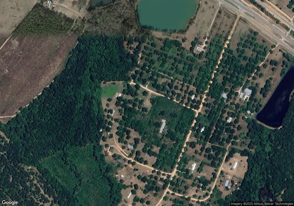
Map
Nearby Homes
- 11 Stover White Dr
- 0 U S 23
- 6689 Mcrae Hwy
- 72 W Tenth St
- Lot 126 Pansy Ln
- 3 E Ninth St
- 17 2nd St
- 1165 Jay Bird Springs Rd
- 39 13th St
- 210 W Graham St
- 0 Ll350 & 398 7th District Unit 30490
- 177 W Brewton St
- 0 Center Ave Unit 10648464
- 0 Center Ave Unit 23896
- 131 Huckabee St
- 427 3rd Ave
- 95 W Willow Creek Ln
- 61 W Bruce St
- 78 S Second Ave
- 136 S Third Ave
- 15 Stuart Dr
- 36 Stuart Dr
- 43 Shady Lane Rd
- 22 Pecan Cir
- 855 W Golden Isles Hwy
- 39 Pecan Cir
- 17 Pecan Cir
- 45 Green Acres Dr
- 45 Green Acres Dr Unit 1
- 101 Shady Lane Rd
- 876 W Golden Isles Hwy
- 880 W Golden Isles Hwy
- 822 W Golden Isles Hwy
- 791 W Golden Isles Hwy
- 791 W Golden Isles Hwy
- 797 W Golden Isles Hwy
- 462 Whatley Farm Rd
- 20 Muscadine Dr
- 0 Muscegon Dr Unit RTE 1 7232467
- 0 Muscegon Dr Unit RTE 1
Your Personal Tour Guide
Ask me questions while you tour the home.