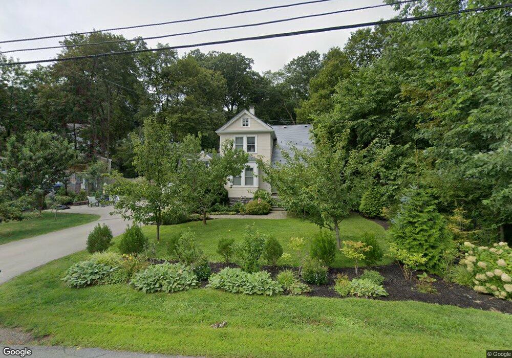
29 Tower Rd Lexington, MA 02421
Follen Heights NeighborhoodEstimated Value: $1,424,000 - $1,881,739
3
Beds
2
Baths
1,483
Sq Ft
$1,140/Sq Ft
Est. Value
About This Home
This home is located at 29 Tower Rd, Lexington, MA 02421 and is currently estimated at $1,690,435, approximately $1,139 per square foot. 29 Tower Rd is a home located in Middlesex County with nearby schools including Bowman Elementary School, Jonas Clarke Middle School, and Lexington High School.
Ownership History
Date
Name
Owned For
Owner Type
Purchase Details
Closed on
Aug 22, 2017
Sold by
Cohen Matthew S and Cohen Juliana F
Bought by
Cohen Ft
Current Estimated Value
Purchase Details
Closed on
Nov 21, 2008
Sold by
Winfield Cynthia L and Cohen Juliana
Bought by
Cohen Matthew and Cohen Juliana
Home Financials for this Owner
Home Financials are based on the most recent Mortgage that was taken out on this home.
Original Mortgage
$400,000
Interest Rate
6.03%
Mortgage Type
Purchase Money Mortgage
Purchase Details
Closed on
Feb 12, 2008
Sold by
Wayne L Lees Lt
Bought by
Winfield Cynthia L and Winfield Phyllis
Purchase Details
Closed on
Feb 20, 2004
Sold by
Lees Evelyn S and Lees Wayne L
Bought by
Wayne L Lees Lt
Create a Home Valuation Report for This Property
The Home Valuation Report is an in-depth analysis detailing your home's value as well as a comparison with similar homes in the area
Home Values in the Area
Average Home Value in this Area
Purchase History
| Date | Buyer | Sale Price | Title Company |
|---|---|---|---|
| Cohen Ft | -- | -- | |
| Cohen Matthew | $421,000 | -- | |
| Winfield Cynthia L | -- | -- | |
| Wayne L Lees Lt | -- | -- |
Source: Public Records
Mortgage History
| Date | Status | Borrower | Loan Amount |
|---|---|---|---|
| Previous Owner | Cohen Matthew | $400,000 |
Source: Public Records
Tax History Compared to Growth
Tax History
| Year | Tax Paid | Tax Assessment Tax Assessment Total Assessment is a certain percentage of the fair market value that is determined by local assessors to be the total taxable value of land and additions on the property. | Land | Improvement |
|---|---|---|---|---|
| 2025 | $20,290 | $1,659,000 | $1,082,000 | $577,000 |
| 2024 | $17,542 | $1,432,000 | $825,000 | $607,000 |
| 2023 | $17,225 | $1,325,000 | $750,000 | $575,000 |
| 2022 | $16,546 | $1,199,000 | $681,000 | $518,000 |
| 2021 | $16,275 | $1,131,000 | $649,000 | $482,000 |
| 2020 | $16,158 | $1,150,000 | $649,000 | $501,000 |
| 2019 | $15,447 | $1,094,000 | $618,000 | $476,000 |
| 2018 | $14,872 | $1,040,000 | $572,000 | $468,000 |
| 2017 | $14,577 | $1,006,000 | $545,000 | $461,000 |
| 2016 | $14,235 | $975,000 | $501,000 | $474,000 |
| 2015 | $13,641 | $918,000 | $455,000 | $463,000 |
| 2014 | $13,447 | $867,000 | $407,000 | $460,000 |
Source: Public Records
Map
Nearby Homes
- 18 Locust Ave
- 33 Tower Rd
- 35 Independence Ave
- 33 Independence Ave
- 37 Independence Ave
- 22 Locust Ave
- 30 Tower Rd
- 14 Locust Ave
- 32 Tower Rd
- 31 Independence Ave
- 37 Tower Rd
- 25 Tower Rd
- 34 Tower Rd
- 10 Locust Ave
- 12 Locust Ave Unit 12
- 21 Locust Ave
- 34 Independence Ave
- 27 Independence Ave
- 26 Locust Ave
- 3 Smith Ave