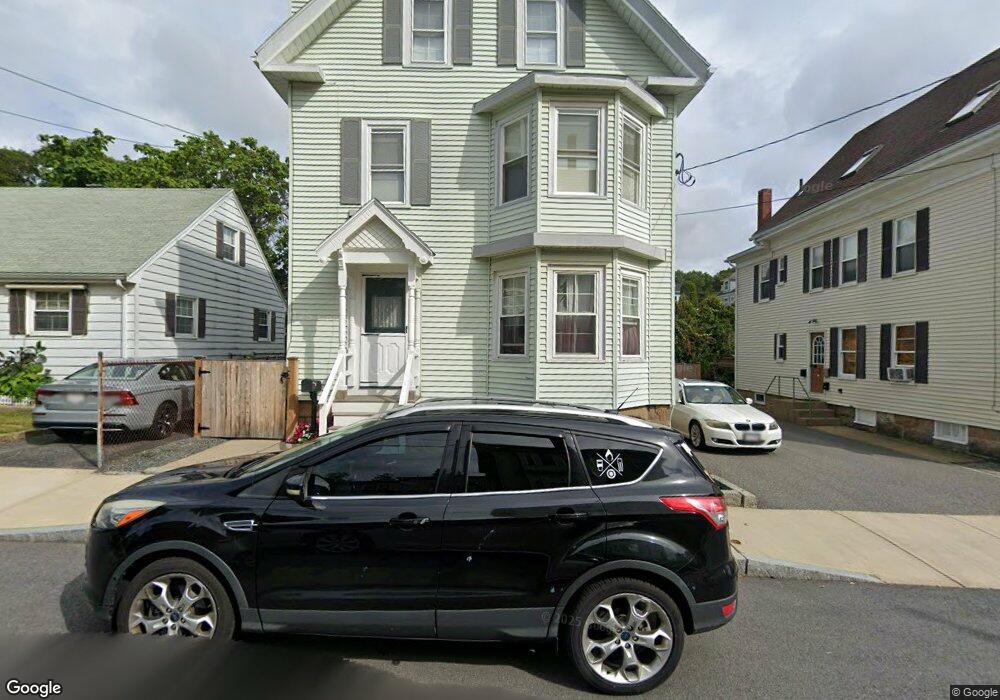
29 Trask St Gloucester, MA 01930
Central Gloucester NeighborhoodEstimated Value: $655,000 - $712,000
5
Beds
2
Baths
2,218
Sq Ft
$307/Sq Ft
Est. Value
About This Home
This home is located at 29 Trask St, Gloucester, MA 01930 and is currently estimated at $681,301, approximately $307 per square foot. 29 Trask St is a home located in Essex County with nearby schools including East Veterans Memorial Elementary, Ralph B O'maley Middle School, and Gloucester High School.
Ownership History
Date
Name
Owned For
Owner Type
Purchase Details
Closed on
Mar 3, 2009
Sold by
Warren Gail C and Warren Geoffrey S
Bought by
29 Trask Street Rt
Current Estimated Value
Create a Home Valuation Report for This Property
The Home Valuation Report is an in-depth analysis detailing your home's value as well as a comparison with similar homes in the area
Home Values in the Area
Average Home Value in this Area
Purchase History
| Date | Buyer | Sale Price | Title Company |
|---|---|---|---|
| 29 Trask Street Rt | -- | -- |
Source: Public Records
Mortgage History
| Date | Status | Borrower | Loan Amount |
|---|---|---|---|
| Previous Owner | 29 Trask Street Rt | $50,000 | |
| Previous Owner | 29 Trask Street Rt | $220,000 |
Source: Public Records
Tax History
| Year | Tax Paid | Tax Assessment Tax Assessment Total Assessment is a certain percentage of the fair market value that is determined by local assessors to be the total taxable value of land and additions on the property. | Land | Improvement |
|---|---|---|---|---|
| 2025 | $5,423 | $557,900 | $138,100 | $419,800 |
| 2024 | $5,327 | $547,500 | $131,600 | $415,900 |
| 2023 | $5,504 | $519,700 | $117,500 | $402,200 |
| 2022 | $5,155 | $439,500 | $102,200 | $337,300 |
| 2021 | $4,986 | $400,800 | $92,900 | $307,900 |
| 2020 | $4,724 | $383,100 | $92,900 | $290,200 |
| 2019 | $4,389 | $345,900 | $92,900 | $253,000 |
| 2018 | $4,271 | $330,300 | $92,900 | $237,400 |
| 2017 | $4,015 | $304,400 | $83,700 | $220,700 |
| 2016 | $3,856 | $283,300 | $83,600 | $199,700 |
| 2015 | $3,781 | $277,000 | $83,600 | $193,400 |
Source: Public Records
Map
Nearby Homes
- 19 Trask St Unit 2
- 50 Warner St
- 40 Sargent St
- 113 Pleasant St
- 12 Arthur St
- 9 Cleveland Place
- 139A Prospect St
- 33 Maplewood Ave Unit 310
- 98 Maplewood Ave
- 13 Mystic Ave
- 8 Mystic Ave
- 36 Eastern Ave
- 191 Main St Unit 3
- 191 Main St Unit 2A
- 120 Washington St
- 6 Monroe Ct
- 35 Middle St Unit 4
- 33 Middle St
- 20 Beacon St
- 20 Beacon St Unit 2
Your Personal Tour Guide
Ask me questions while you tour the home.